2020s Maps of Silva Mountain, Phoenix
Explore 4 historic maps of Silva Mountain from the 2020s. These maps offer a rare glimpse into what life looked like during the 2020s — showing old roads, neighborhoods, homes, and landmarks that have changed or disappeared over time.
Whether you're researching your family's past, planning a metal detecting trip, or studying how Silva Mountain's landscape evolved across the 2020s, these high-resolution maps are a powerful tool for exploring the history of this region.
- Focus on a specific era: All maps on this page are from the 2020s, giving you a focused view of this time period.
- See what’s changed: Compare century-old streets, trails, and buildings to today's modern landscape using overlays and satellite layers.
- Research with precision: Use these maps for genealogy, historical research, land use analysis, or educational projects.
- View, download, or print: Maps are fully viewable online in high resolution, and can be downloaded or printed for your own records.
Start exploring Silva Mountain's history through authentic maps from the 2020s. This is your window into the past.
Silva Mountain, Phoenix maps
(4)- 2021 Map of Phoenix, 2021 Print
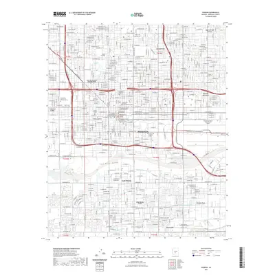 2021 Phoenix2021 Print · USGSCovers Silva Mountain, including Phoenix, Maricopa County, and other nearby areas
 - 2021 Map of Lone Butte, 2021 Print
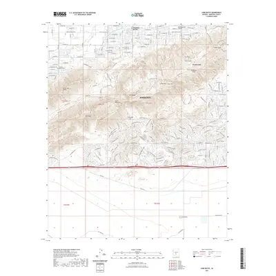 2021 Lone Butte2021 Print · USGSCovers Silva Mountain, including Phoenix, Maricopa County, and other nearby areas
 - 2023 Map of Lone Butte, 2023 Print
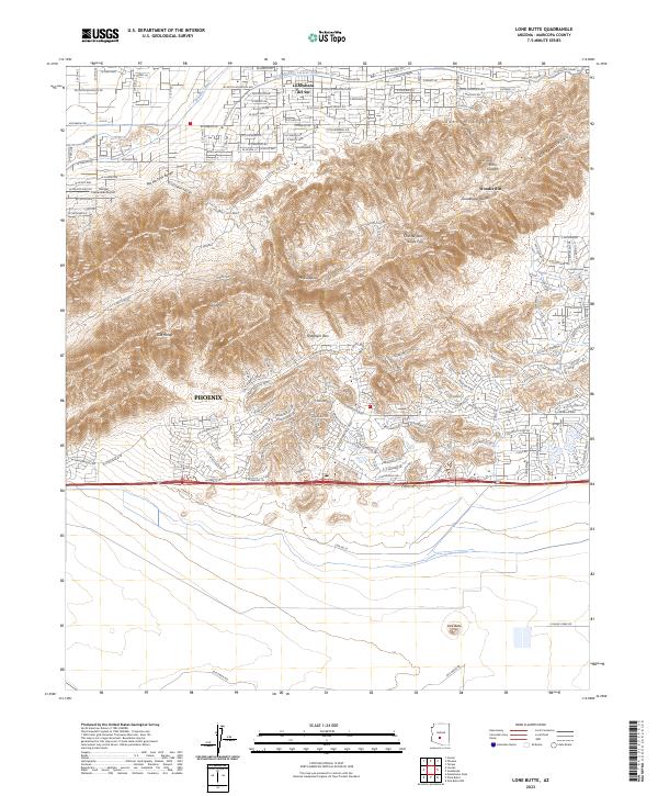 2023 Lone Butte2023 Print · USGSSouthern Arizona’s transition from suburban development to desert wilderness is captured here in the early 2020s. Researchers can trace the intersection of modern infrastructure and natural landmarks like Lone Butte, Haciendas Airport, and the Telegraph Pass trail network.
 - 2023 Map of Phoenix, 2023 Print
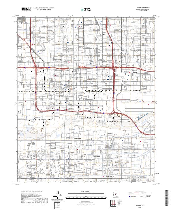 2023 Phoenix2023 Print · USGSPhoenix and its surrounding valley are captured here as a sprawling metropolitan center shaped by its river and canals. Genealogists and historians can trace the footprint of Beth El Cem, the Western Canal, and the early layout of South Phoenix.
End of results
Showing maps 1-4 of 4
Frequently asked questions
- What are the different types of historical maps available for Silva Mountain?
- What is the oldest map of Silva Mountain?
- Where can I purchase historical maps of Silva Mountain for my home or office?
- Where can I download high-res historical maps of Silva Mountain?
- Are there historical topographic maps available for Silva Mountain?
- Is there historical aerial imagery available for Silva Mountain?
- Where are historical maps of Silva Mountain sourced from?