Old Maps of Silva Mountain, Phoenix for Genealogy
Trace your family roots with 24 historic maps of Silva Mountain. These high-res maps reveal old neighborhoods, homesites, landmarks, and streets — helping you uncover where your ancestors lived and how the area evolved over time.
- Explore historic neighborhoods: Identify where your relatives may have lived in the 1800s or 1900s.
- Compare maps over time: Trace the changes in streets, buildings, and landmarks for multi-generational research.
- Perfect for genealogy & ancestry research: Used by family historians and researchers to map out lineage and migration.
These maps are an incredible resource for exploring your personal connection to Silva Mountain's past.
Silva Mountain, Phoenix maps
(24)- 1912 Map of Phoenix, 1955 Print
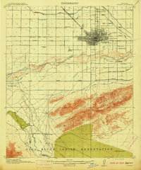
 1912 Phoenix1955 Print · USGSEarly 1900s Phoenix is depicted as an emerging agricultural and rail hub defined by its extensive canal system and desert surroundings. Genealogists and local researchers can trace early homesteads and community centers like Alhambra, St Johns Chapel, and the County Poor Farm.
 - 1914 Map of Phoenix
 1914 Phoenix1914 Print · USGSPhoenix and its surrounding valley are documented here at a pivotal moment of irrigation-driven growth before the mid-century boom. Genealogists and historians can locate early landmarks like the State Hospital, Maricopa Village, and numerous rural schoolhouses such as Isaac School and Fowler School.4 unique versions available
 - 1952 Map of Lone Butte, 1957 Print
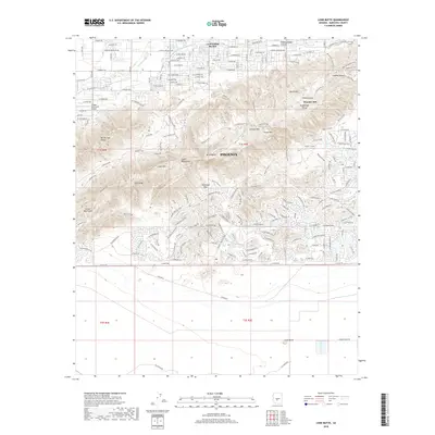
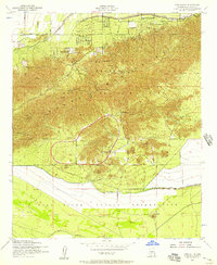 1952 Lone Butte1957 Print · USGSThe South Mountains meet the Gila River Indian Reservation in the early fifties, showing a desert landscape during a period of institutional growth. Trace the development of the Phoenix Proving Grounds, locate the Phoenix Police Academy, and find the isolated Lone Butte.5 unique versions available
 - 1952 Map of Phoenix, 1957 Print
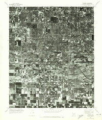
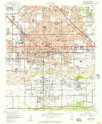 1952 Phoenix1957 Print · USGSPhoenix thrives in the early fifties as post-war growth transforms the Salt River Valley. Researchers can trace mid-century landmarks from Phoenix Municipal Airport to the historic Greenwood Cem and Encanto Park & Golf Course.5 unique versions available
 - 1952 Map of Phoenix, 1960 Print
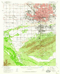 1952 Phoenix1960 Print · USGSCentral Arizona's desert valley is shown in the early fifties as the city expands toward the Salt River. Genealogists can trace family names and sites from Maricopa Village to Alhambra, including local landmarks like St Johns Indian Sch.2 unique versions available
 - 1954 Map of Phoenix, 1964 Print
 1954 Phoenix1964 Print · USGSMid-century Arizona is captured here as the Phoenix metropolitan area begins its rapid expansion into the surrounding desert. Genealogists and historians can trace the development of agricultural hubs like Buckeye and Tolleson, or locate remote landmarks like the Vulture Mine and Nottbusch Cem.5 unique versions available
 - 1957 Map of Phoenix
 1957 Phoenix1957 Print · USGSGreater Phoenix and the central Arizona desert during the mid-fifties reveal a landscape of growing suburbs and active desert mines. Researchers can trace the legacy of local landmarks like Wickenburg Prison, the Vulture Mine, and the Tonopah Post Office.
 - 1958 Map of Phoenix
 1958 Phoenix1958 Print · USGSThe Phoenix Valley enters a period of postwar expansion, where desert irrigation meets massive military aviation footprints. Trace the development of Phoenix and Glendale alongside the legendary Vulture Mine and the auxiliary runways of Luke Air Force Base.
 - 1960 Map of Phoenix
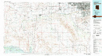
 1960 Phoenix1960 Print · USGSCentral Arizona in the mid-fifties reveals a landscape of rapid suburban growth alongside enduring desert mining and ranching. Genealogists and historians can trace rail-side settlements like Vicksburg Junction and Waddell, or locate the Vulture Mine and early sites like Agua Fria School.
 - 1969 Map of Phoenix, 1970 Print
 1969 Phoenix1970 Print · USGSCentral Arizona is seen at a technological turning point in the late sixties, using Apollo 9 space photography to map the desert landscape. Researchers can trace the growth of Sun City, locate old workings at Vulture Mine, and follow the Gila River past Buckeye.2 unique versions available
 - 1971 Map of Phoenix
 1971 Phoenix1971 Print · USGSCentral Arizona at the start of the seventies shows a desert metropolis expanding toward the Sun Valley retirement boom. Trace the growth of Sun City and Glendale, or locate remote historic sites like the Vulture Gold Mine and Nottbusch Cemetery.
 - 1971 Map of Lone Butte, 1972 Print
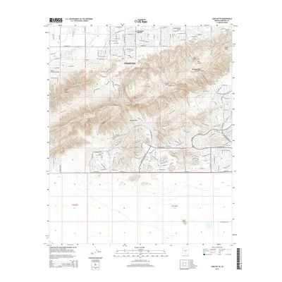
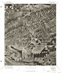 1971 Lone Butte1972 Print · USGSMaricopa County's southern desert reaches are captured in the early 1970s, showcasing the intersection of natural peaks and industrial testing. Trace the development of the Phoenix Proving Grounds and the rugged terrain of South Mountain.
 - 1971 Map of Phoenix, 1972 Print
 1971 Phoenix1972 Print · USGSCentral Arizona's urban heart is captured in the early seventies, showing the rapid transformation of the desert landscape. Genealogists and historians can trace the evolution of Phoenix and South Phoenix along the banks of the Salt River.
 - 1981 Map of Phoenix South
 1981 Phoenix South1981 Print · USGSThe desert south of Phoenix in the early eighties shows a unique mix of tribal lands, military outposts, and agricultural growth. Genealogists and historians can trace settlements like Ak Chin and Valencia or locate the Buckeye Copper Mine and Luke Aux Field No 6.2 unique versions available
 - 2011 Map of Phoenix, 2011 Print
 2011 Phoenix2011 Print · USGSCovers Silva Mountain, including Phoenix, Maricopa County, and other nearby areas
 - 2011 Map of Lone Butte, 2011 Print
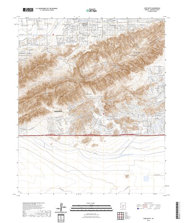
 2011 Lone Butte2011 Print · USGSCovers Silva Mountain, including Phoenix, Maricopa County, and other nearby areas
 - 2014 Map of Lone Butte, 2014 Print
 2014 Lone Butte2014 Print · USGSCovers Silva Mountain, including Phoenix, Maricopa County, and other nearby areas
 - 2014 Map of Phoenix, 2014 Print
 2014 Phoenix2014 Print · USGSCovers Silva Mountain, including Phoenix, Maricopa County, and other nearby areas
 - 2018 Map of Lone Butte, 2018 Print
 2018 Lone Butte2018 Print · USGSCovers Silva Mountain, including Phoenix, Maricopa County, and other nearby areas
 - 2018 Map of Phoenix, 2018 Print
 2018 Phoenix2018 Print · USGSCovers Silva Mountain, including Phoenix, Maricopa County, and other nearby areas
 - 2021 Map of Phoenix, 2021 Print
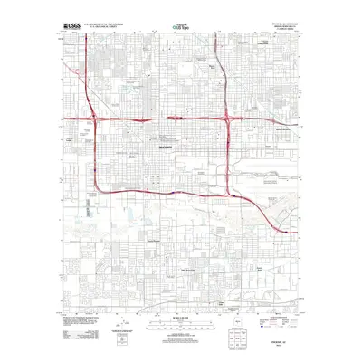
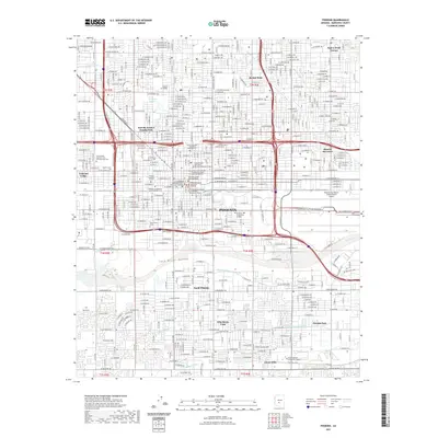 2021 Phoenix2021 Print · USGSCovers Silva Mountain, including Phoenix, Maricopa County, and other nearby areas
 - 2021 Map of Lone Butte, 2021 Print
 2021 Lone Butte2021 Print · USGSCovers Silva Mountain, including Phoenix, Maricopa County, and other nearby areas
 - 2023 Map of Lone Butte, 2023 Print
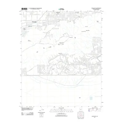
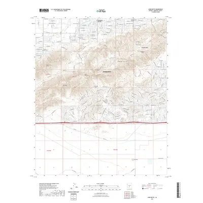
 2023 Lone Butte2023 Print · USGSSouthern Arizona’s transition from suburban development to desert wilderness is captured here in the early 2020s. Researchers can trace the intersection of modern infrastructure and natural landmarks like Lone Butte, Haciendas Airport, and the Telegraph Pass trail network.
 - 2023 Map of Phoenix, 2023 Print
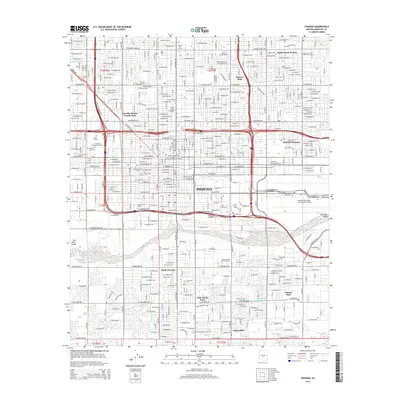
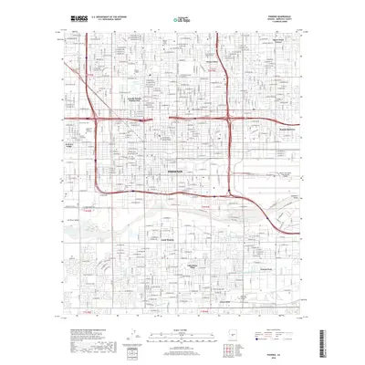
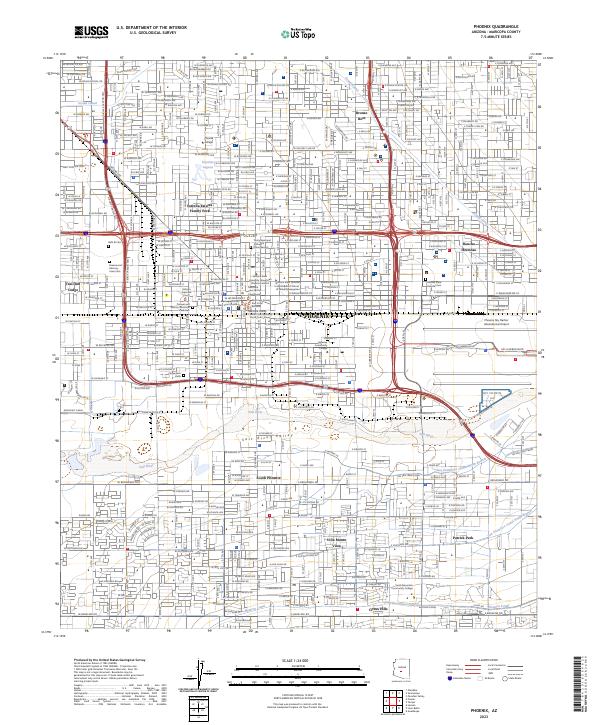 2023 Phoenix2023 Print · USGSPhoenix and its surrounding valley are captured here as a sprawling metropolitan center shaped by its river and canals. Genealogists and historians can trace the footprint of Beth El Cem, the Western Canal, and the early layout of South Phoenix.
End of results
Showing maps 1-24 of 24
Frequently asked questions
- What are the different types of historical maps available for Silva Mountain?
- What is the oldest map of Silva Mountain?
- Where can I purchase historical maps of Silva Mountain for my home or office?
- Where can I download high-res historical maps of Silva Mountain?
- Are there historical topographic maps available for Silva Mountain?
- Is there historical aerial imagery available for Silva Mountain?
- Where are historical maps of Silva Mountain sourced from?