Old Maps of Snowflake, Arizona
Explore 30 old maps of Snowflake, spanning from 1886 to today. These high-resolution historic maps reveal how streets, neighborhoods, landmarks, and natural features evolved over time — perfect for genealogy, metal detecting, research, and local history exploration.
What you can do with these maps:
- See how Snowflake changed over time: Compare historical maps to modern-day views to trace roads, homesites, rail lines & more.
- View detailed metadata: Each map includes creators, publishers, year, scale, and archive source.
- Overlay maps with satellite & LiDAR: Visualize the past alongside modern tools to explore terrain & human change.
- Trusted historical sources: Maps sourced from the USGS, Library of Congress, and other archives.
- Access maps your way: View online, download high-res files, or order prints for personal or research use.
Start exploring old maps of Snowflake to uncover forgotten places, hidden landmarks, and the deep history beneath your feet.
Snowflake, AZ maps
(30)- 1886 Map of Holbrook
 1886 Holbrook1886 Print · USGSArizona's high desert and the Mogollon Rim frontier are captured here in the late nineteenth century during the height of early pioneer settlement. Trace the growth of river towns like Holbrook and Snowflake or locate remote outposts such as Wilford, Adair, and Heber.
 - 1893 Map of Holbrook
 1893 Holbrook1893 Print · USGSNortheastern Arizona in the 1880s reveals a landscape of nascent ranching towns and deep canyon systems along the high plateau. Genealogists and historians can trace the early footprints of Holbrook, Snowflake, and Showlow as they appeared before the turn of the century.4 unique versions available
 - 1954 Map of Holbrook, 1966 Print
 1954 Holbrook1966 Print · USGSNorth-central Arizona is seen here during the mid-fifties, from the high plateau of the Mogollon Rim to the Verde Valley. Researchers can trace the early growth of Holbrook, locate remote camps like Happy Jack, and explore the roads around Montezuma Castle National Monument.3 unique versions available
 - 1957 Map of Holbrook
 1957 Holbrook1957 Print · USGSNorthern Arizona in the mid-fifties is defined by the high-plateau timberlands and the bustling rail corridor of the Little Colorado River valley. Genealogists and historians can trace the route of U.S. 66 through Holbrook or locate more remote outposts like Zeniff and Aripine.
 - 1958 Map of Holbrook
 1958 Holbrook1958 Print · USGSNortheastern Arizona's high country is captured here during the mid-fifties, showing the growth of mountain towns and timber lands. Researchers can trace the Atchison Topeka & Santa Fe RR through Holbrook or find vanished spots like Zeniff.
 - 1960 Map of Holbrook
 1960 Holbrook1960 Print · USGSNorthern Arizona is captured here just as modern highways began to reshape the cattle and timber country of the Colorado Plateau. Genealogists and historians can trace the early footprints of Snowflake, Sedona, and Payson, alongside the Atchison Topeka & Santa Fe RR rail line.
 - 1970 Map of Cactus Flat, 1973 Print
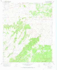 1970 Cactus Flat1973 Print · USGSNavajo County ranching and forest lands are frozen in time during the early seventies, showing a landscape of windmills and rugged washes. Genealogists and historians can trace the Old Railroad Grade and locate family-named sites like Thomas Windmill and Linden Windmill.2 unique versions available
 - 1970 Map of Taylor, 1973 Print
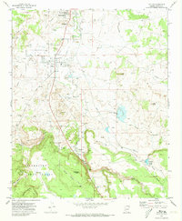 1970 Taylor1973 Print · USGSSnowflake and Taylor appear at a time of steady growth and industrial transition in the early seventies. Genealogists can trace family landmarks and local burials at the Taylor Cem and Shumway Cem, or follow the Old Railroad Grade through the valley.
 - 1970 Map of Second Knolls, 1973 Print
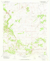 1970 Second Knolls1973 Print · USGSNavajo County's high plateau is captured here in the early seventies, showcasing a landscape of isolated homesteads and industrial infrastructure. Genealogists and historians can trace the Old Apache Railroad Grade or locate the remote John Hunt Cabin and Green Water Tank.
 - 1970 Map of Snowflake, 1973 Print
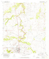 1970 Snowflake1973 Print · USGSSnowflake at the start of the 1970s shows a classic Arizona high-desert settlement centered around its irrigation and rail infrastructure. Genealogists and historians can locate family homes along Webb Lane, trace the APACHE RAILWAY, or find local landmarks like the Union High Sch and Sevenmile Dam.2 unique versions available
 - 1980 Map of Holbrook, 1996 Print
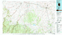 1980 Holbrook1996 Print · USGSHolbrook and the surrounding Navajo County high desert are captured here in the early eighties, showcasing a landscape of rail-driven commerce and ranching. Researchers can trace the Atchison Topeka and Santa Fe RR through Penzance or locate historical points like Mormon Crossing and Rock Station.2 unique versions available
 - 1981 Map of Show Low, 1982 Print
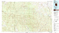 1981 Show Low1982 Print · USGSThe Mogollon Rim highlands in the early eighties were a landscape of forest service outposts and remote reservation settlements. Local historians can trace the foundations of Show Low and Snowflake, or locate family sites near Cibecue and Heber.2 unique versions available
 - 1998 Map of Cactus Flat, 2000 Print
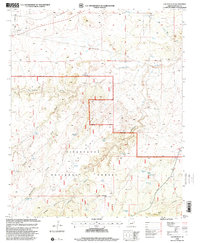 1998 Cactus Flat2000 Print · USGSNavajo and Arizona ranchlands are revealed in this late-century survey, showing the intricate water-management system of the high plateau. Researchers can trace land use through remote landmarks like Thomas Windmill, Perkins Spring, and the grazing lands of Sitgreaves National Forest.
 - 1998 Map of Taylor, 2000 Print
 1998 Taylor2000 Print · USGSThe Mormon pioneer settlements of the Silver Creek valley are captured here in the late nineties as they continued to grow. Genealogists and local historians can trace family sites at the Taylor Cem and Shumway Cem or locate the historic Schoens Crossing.
 - 2011 Map of Snowflake, 2011 Print
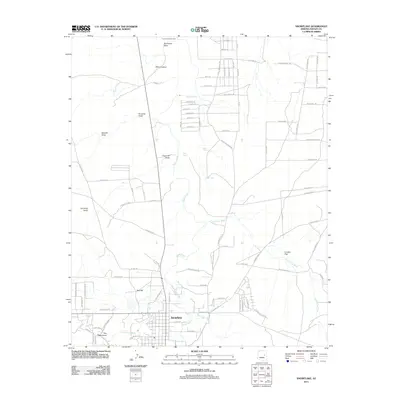 2011 Snowflake2011 Print · USGSNavajo County ranching and water management are front and center in the Snowflake area during the early twenty-first century. Researchers can trace land divisions and water sources from The Canal and Silver Creek to family landmarks like Willis Ranch Rd and Point Lookout.
 - 2011 Map of Second Knolls, 2011 Print
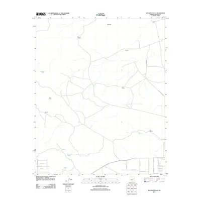 2011 Second Knolls2011 Print · USGSNavajo County ranching lands and early homesteads come into focus in this study of the Arizona high desert near the start of the twenty-first century. Genealogists and historians can trace family-named landmarks like the John Hunt Cabin and livestock hubs such as Ninemile Corral.
 - 2011 Map of Cactus Flat, 2011 Print
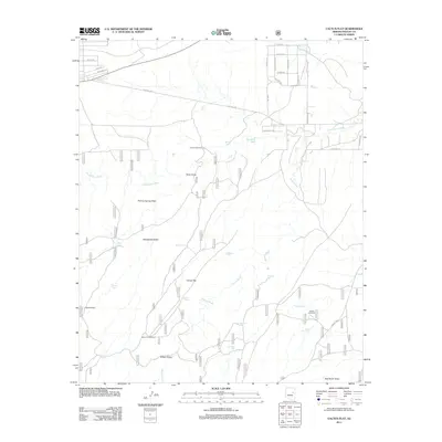 2011 Cactus Flat2011 Print · USGSNavajo County ranching and rural life are centered around Cactus Flat in the early twenty-first century. Researchers can trace land use through numerous water landmarks and family-named routes like Thomas Windmill, Ballard Tank, and Freeman Hollow Rd.
 - 2011 Map of Taylor, 2011 Print
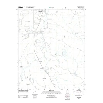 2011 Taylor2011 Print · USGSNavajo County life centers on the Silver Creek valley during the early 2000s, showing the shared growth of Taylor and Snowflake. Genealogists and local historians can locate Taylor Cemetery, the small community of Shumway, and water features like Millet Swale Reservoir.
 - 2014 Map of Snowflake, 2014 Print
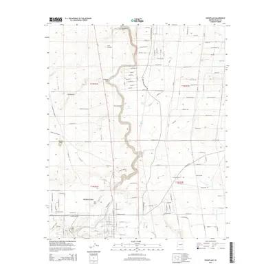 2014 Snowflake2014 Print · USGSSnowflake was a well-established hub of Navajo County in the early twenty-first century, defined by its intricate irrigation and desert topography. Genealogists and local historians can trace the town’s growth alongside The Canal and landmarks like Red Hill and Cottonwood Wash.
 - 2014 Map of Cactus Flat, 2014 Print
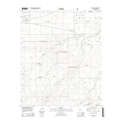 2014 Cactus Flat2014 Print · USGSThe neighboring communities of Snowflake and Taylor appear during a period of modern growth in the early twenty-first century. Genealogists and desert explorers can trace local landmarks like Cactus Flat and water sources such as Deborah Tank and Mortensen Wash.
 - 2014 Map of Taylor, 2014 Print
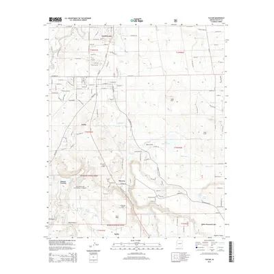 2014 Taylor2014 Print · USGSSnowflake and Taylor are depicted in the early twenty-first century as they expanded along the Silver Creek corridor. Genealogists and local historians can locate Taylor Cem, the small settlement of Shumway, and landmarks like Schoens Crossing near the national forest boundary.
 - 2014 Map of Second Knolls, 2014 Print
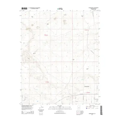 2014 Second Knolls2014 Print · USGSSnowflake and the surrounding Navajo County uplands are documented here during a period of modern residential expansion into the high desert. Genealogists and local historians can trace legacy routes like the Old Snowflake-Holbrook Rd and explore the geology of the Pink Cliffs and The Sinks.
 - 2018 Map of Taylor, 2018 Print
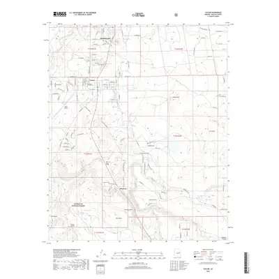 2018 Taylor2018 Print · USGSNavajo County's high-desert ranching and farming communities are captured here in the decade before the 2020s. Genealogists and historians can trace family locations near Snowflake and Shumway, or locate the Reed Hatch Memorial Cem and Shumway Cem.
 - 2018 Map of Snowflake, 2018 Print
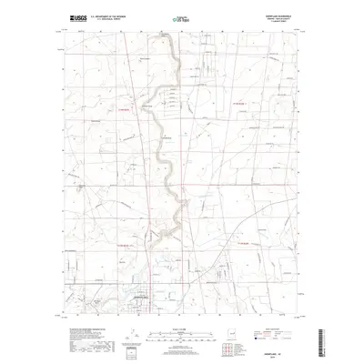 2018 Snowflake2018 Print · USGSSnowflake and the surrounding Navajo County high desert are captured here in the late twenty-tens, showing a landscape shaped by water and ranching. Genealogists and local historians can trace the paths of The Canal and E Snowflake Ditch or locate family-named routes like Willis Ranch Rd and Rockin R Ranch Rd.
 - 2018 Map of Second Knolls, 2018 Print
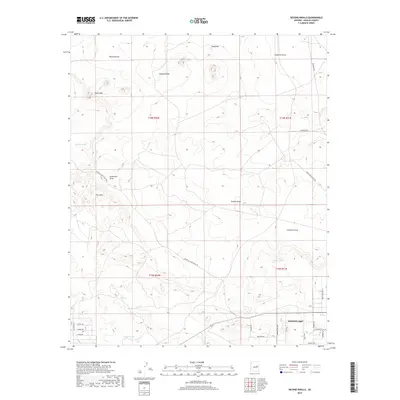 2018 Second Knolls2018 Print · USGSSnowflake and its high-desert surroundings are captured here during a period of modern expansion in Navajo County. Local historians and property researchers can trace the development of neighborhood streets near Snowflake or explore rural landmarks like Rocking Chair Ranch Rd and the Pink Cliffs.
Showing maps 1-25 of 30
Top cities near Snowflake
Frequently asked questions
- What are the different types of historical maps available for Snowflake?
- What is the oldest map of Snowflake?
- Where can I purchase historical maps of Snowflake for my home or office?
- Where can I download high-res historical maps of Snowflake?
- Are there historical topographic maps available for Snowflake?
- Is there historical aerial imagery available for Snowflake?
- Where are historical maps of Snowflake sourced from?