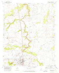
1970 Map of Snowflake
USGS Topo · Published 1973About this map
Snowflake and its surrounding high-desert landscape are captured here during a period of steady growth in Navajo County. The town site is defined by a grid of local streets including Ramsey Ave, Webb Lane, and Cooper Lane, with community landmarks like the Union High Sch and the local Cemetary clearly marked. The local economy is tied to the movement of water and materials, evidenced by the East Snowflake Canal and the presence of Gravel Pits and a Quarry on the outskirts of town.
Find a feature on this map
39 named features on this map. Tap any name to fly to it.
Don’t see what you’re looking for? This feature index may not catch every label — zoom into the map to look around manually.
Map Details
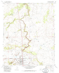
Editions of this 1970 Snowflake Map
2 editions found
Other maps of this area

1886 · St Johns
USGS Topo · 1:250,000
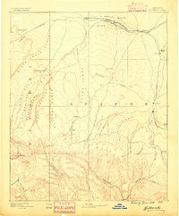
1886 · Holbrook
USGS Topo · 1:250,000
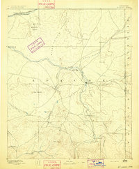
1892 · St Johns
USGS Topo · 1:250,000
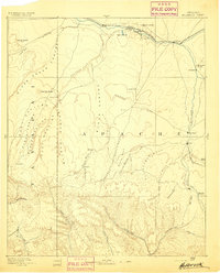
1893 · Holbrook
USGS Topo · 1:250,000
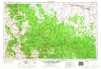
1954 · Holbrook
USGS Topo · 1:250,000
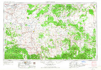
1954 · Saint Johns
USGS Topo · 1:250,000
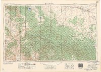
1957 · Holbrook
USGS Topo · 1:250,000
1957 · Saint Johns
USGS Topo · 1:250,000
1958 · Saint Johns
USGS Topo · 1:250,000
1958 · Holbrook
USGS Topo · 1:250,000