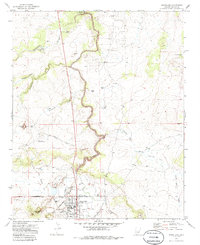
1970 Map of Snowflake
USGS Topo · Published 1985About this map
Snowflake occupies the southern edge of this Arizona landscape, positioned near the confluence of Cottonwood Wash and Silver Creek. The town's layout reflects a structured grid system typical of early Mormon settlements in the region, with its High Sch and Cem clearly marked near the residential core. Water management is a defining characteristic of this arid environment, evidenced by an extensive network of irrigation features including The Ditch, the East Snowflake Canal, and several reservoirs such as Lower Tank and Upper Tank.
Find a feature on this map
30 named features on this map. Tap any name to fly to it.
Don’t see what you’re looking for? This feature index may not catch every label — zoom into the map to look around manually.
Map Details
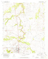
Editions of this 1970 Snowflake Map
2 editions found
Other maps of this area

1886 · St Johns
USGS Topo · 1:250,000

1886 · Holbrook
USGS Topo · 1:250,000

1892 · St Johns
USGS Topo · 1:250,000

1893 · Holbrook
USGS Topo · 1:250,000

1954 · Holbrook
USGS Topo · 1:250,000

1954 · Saint Johns
USGS Topo · 1:250,000

1957 · Holbrook
USGS Topo · 1:250,000

1957 · Saint Johns
USGS Topo · 1:250,000

1958 · Saint Johns
USGS Topo · 1:250,000

1958 · Holbrook
USGS Topo · 1:250,000