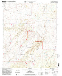
1998 Map of Cactus Flat
USGS Topo · Published 2000About this map
Sitgreaves National Forest covers a significant portion of this high-desert landscape, defined by a complex network of ephemeral drainages and stock-rearing infrastructure. The terrain is characterized by the broad expanse of Cactus Flat and the deep incisions of Town Draw and Cottonwood Wash. Settlement is sparse, represented primarily by specialized ranching features such as Thomas Windmill, Cactus Flat Windmill, and a series of livestock tanks like Miller Tank and Ballard Tank that reflect the arid reality of northern Arizona ranching operations.
Find a feature on this map
38 named features on this map. Tap any name to fly to it.
Don’t see what you’re looking for? This feature index may not catch every label — zoom into the map to look around manually.
Map Details
Editions of this 1998 Cactus Flat Map
This is the sole edition of this map. No revisions or reprints were ever made.
Other maps of this area
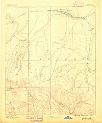
1886 · Holbrook
USGS Topo · 1:250,000
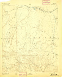
1893 · Holbrook
USGS Topo · 1:250,000
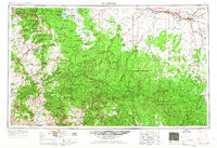
1954 · Holbrook
USGS Topo · 1:250,000
1957 · Holbrook
USGS Topo · 1:250,000
1958 · Holbrook
USGS Topo · 1:250,000
1960 · Holbrook
USGS Topo · 1:250,000
1961 · Clay Springs
USGS Topo · 1:62,500
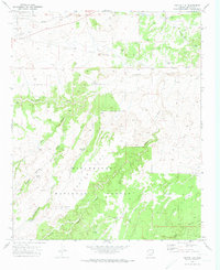
1970 · Cactus Flat
USGS Topo · 1:24,000
1970 · Taylor
USGS Topo · 1:24,000
1970 · Show Low North
USGS Topo · 1:24,000