Old Maps of Hacienda Los Encino, Sonoita for Genealogy
Trace your family roots with 17 historic maps of Hacienda Los Encino. These high-res maps reveal old neighborhoods, homesites, landmarks, and streets — helping you uncover where your ancestors lived and how the area evolved over time.
- Explore historic neighborhoods: Identify where your relatives may have lived in the 1800s or 1900s.
- Compare maps over time: Trace the changes in streets, buildings, and landmarks for multi-generational research.
- Perfect for genealogy & ancestry research: Used by family historians and researchers to map out lineage and migration.
These maps are an incredible resource for exploring your personal connection to Hacienda Los Encino's past.
Hacienda Los Encino, Sonoita maps
(17)- 1904 Map of Patagonia, 1955 Print
 1904 Patagonia1955 Print · USGSArizona's mining and ranching frontiers are at their peak in this early century survey of the Santa Rita Mountains. Genealogists and historians can trace family operations at the Empire Ranch or the Total Wreck Mine, and locate the site of Old Ft Crittenden.
 - 1905 Map of Patagonia
 1905 Patagonia1905 Print · USGSSouthern Arizona’s mining and ranching frontier is captured here at the start of the twentieth century. Genealogists and historians can trace numerous family homesteads and active mining sites, from Empire Ranch and Helvetia to the curiously named Total Wreck Mine.4 unique versions available
 - 1932 Map of Elgin
 1932 Elgin1932 Print · USGSSanta Cruz County ranching culture is on full display in the early 1930s as the Southern Pacific rail line winds through the high desert. Genealogists can trace family landmarks like Gardner's Ranch and Turner-Bower Ranch or locate the site of Old Ft Crittenden.
 - 1940 Map of Elgin
 1940 Elgin1940 Print · USGSSoutheastern Arizona ranching country is shown here just before the mid-century, where the Southern Pacific railroad connects remote desert outposts. Researchers can locate early family homesteads like Gardner's Ranch and Rodgers Ranch alongside the historic site of Old Ft. Crittenden.
 - 1947 Map of Elgin, 1953 Print
 1947 Elgin1953 Print · USGSSanta Cruz and Pima Counties are seen here in the late 1940s as a landscape of sprawling cattle ranches and historic frontier outposts. Genealogists and historians can locate family landmarks like Hacienda Los Encinos alongside the Old Fort Buchanan Ruins and Dunham Mine.2 unique versions available
 - 1948 Map of Sonoita, 1953 Print
 1948 Sonoita1953 Print · USGSSouthern Arizona ranching and rail life are captured here in the late 1940s, centered on the Sonoita crossroads. Researchers can trace historic family holdings such as Hacienda Los Encinos Ranch and Wilson Ranch, or locate the ruins of Old Fort Crittenden.
 - 1956 Map of Nogales, 1963 Print
 1956 Nogales1963 Print · USGSSouthern Arizona in the mid-fifties is captured here from the Papago tribal lands to the San Pedro valley. Genealogists and historians can trace border settlements like Sasabe, the legacy of Tombstone, and old mining sites including the Mary G Mine.4 unique versions available
 - 1958 Map of Nogales
 1958 Nogales1958 Print · USGSSouthern Arizona in the late fifties was a landscape of international borders and high-desert outposts, dominated by the Huachuca Mountains and the Papago Indian Reservation. Local historians can trace old mining camps like Ruby and Greaterville or locate historic military grounds at the Fort Huachuca Military Reservation.
 - 1958 Map of Elgin, 1959 Print
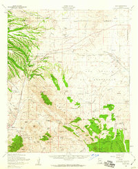 1958 Elgin1959 Print · USGSSanta Cruz County ranching and military history are preserved here in the late fifties, from the Southern Pacific rails to the San Ignacio del Babocomari grant. Trace family ranch sites and historical markers like Fort Buchanan and the Black Oak Cemetery.3 unique versions available
 - 1958 Map of Sonoita, 1959 Print
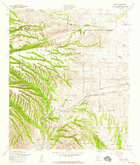 1958 Sonoita1959 Print · USGSSanta Cruz County ranching and military history are preserved here as the area appeared in the late fifties. Researchers can locate the historic grounds of Fort Crittenden, trace the Southern Pacific railroad, or identify family holdings like the Rail X Ranch and Hacienda Los Encinos.5 unique versions available
 - 1959 Map of Nogales
 1959 Nogales1959 Print · USGSThe Southern Arizona borderlands appear in the late fifties as a complex landscape of military ranges, tribal lands, and high-desert mining towns. Local historians can trace the Southern Pacific rail lines connecting Tombstone and Benson or locate family ranches such as Canoa Ranch.
 - 1994 Map of Fort Huachuca
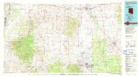 1994 Fort Huachuca1994 Print · USGSSouthern Arizona in the mid-nineties shows a landscape of expansive military reservations, historic land grants, and storied mining districts. Researchers can trace the S P RR through the San Pedro River valley or locate dozens of remote mountain workings like the Montezuma Mine and Eureka Mine.3 unique versions available
 - 1996 Map of Sonoita, 2002 Print
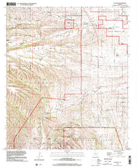 1996 Sonoita2002 Print · USGSSouthern Arizona ranching country and military history converge here in the late twentieth century near the Santa Cruz and Pima county line. Researchers can trace the heritage of the Crown C Ranch and locate the historic Fort Crittenden and Fort Buchanan sites.
 - 2012 Map of Sonoita, 2012 Print
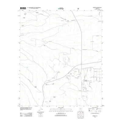 2012 Sonoita2012 Print · USGSArizona's high-desert ranching country is captured here in the early twenty-first century, centered on the historic crossroads of Sonoita. Researchers can trace the legacy of frontier outposts at Fort Buchanan and explore dozens of named family spreads like Wilson Ranch and Rail X Ranch.
 - 2014 Map of Sonoita, 2014 Print
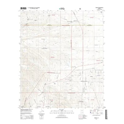 2014 Sonoita2014 Print · USGSSonoita and the surrounding high-desert canyons are captured here at a time of residential growth amidst traditional ranching lands. Trace the convergence of Sonoita Cr and local landmarks like Hacienda Los Encino, Apache Spring, and the Arizona National Scenic Trail.
 - 2018 Map of Sonoita, 2018 Print
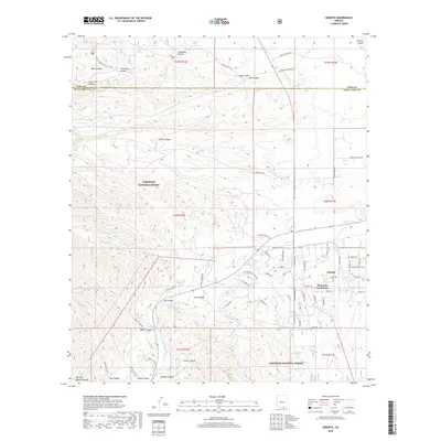 2018 Sonoita2018 Print · USGSThe Sonoita grasslands and the northern reaches of Santa Cruz County are captured here during a period of steady rural development. Researchers can trace land tracts and residential footprints near Hacienda Los Encino or follow the route of the Arizona National Scenic Trail.
 - 2021 Map of Sonoita, 2021 Print
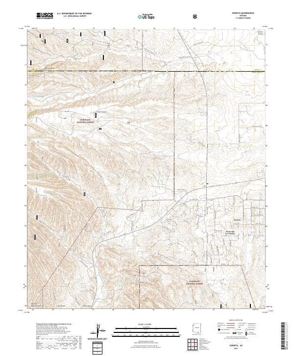 2021 Sonoita2021 Print · USGSSanta Cruz County ranching culture and high-desert terrain are mapped here in the early twenty-first century. Genealogists and hikers can trace the Arizona National Scenic Trl past historic water points like Cottonwood Spring and the Hacienda Los Encino estate.
End of results
Showing maps 1-17 of 17
Top cities near Hacienda Los Encino
- Sierra Vista historical maps
- Patagonia historical maps
- Town of Patagonia historical maps
- Sonoita historical maps
Frequently asked questions
- What are the different types of historical maps available for Hacienda Los Encino?
- What is the oldest map of Hacienda Los Encino?
- Where can I purchase historical maps of Hacienda Los Encino for my home or office?
- Where can I download high-res historical maps of Hacienda Los Encino?
- Are there historical topographic maps available for Hacienda Los Encino?
- Is there historical aerial imagery available for Hacienda Los Encino?
- Where are historical maps of Hacienda Los Encino sourced from?