2000s (21st Century) Maps of Winslow West, Arizona
Explore 8 historic maps of Winslow West from the 2000s (21st Century). These maps offer a rare glimpse into what life looked like during the 2000s — showing old roads, neighborhoods, homes, and landmarks that have changed or disappeared over time.
Whether you're researching your family's past, planning a metal detecting trip, or studying how Winslow West's landscape evolved across the 2000s, these high-resolution maps are a powerful tool for exploring the history of this region.
- Focus on a specific era: All maps on this page are from the 2000s, giving you a focused view of this time period.
- See what’s changed: Compare century-old streets, trails, and buildings to today's modern landscape using overlays and satellite layers.
- Research with precision: Use these maps for genealogy, historical research, land use analysis, or educational projects.
- View, download, or print: Maps are fully viewable online in high resolution, and can be downloaded or printed for your own records.
Start exploring Winslow West's history through authentic maps from the 2000s. This is your window into the past.
Winslow West, AZ maps
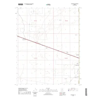
(8)- 2011 Map of Tucker Mesa, 2011 Print
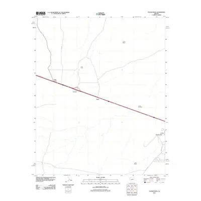 2011 Tucker Mesa2011 Print · USGSCovers Winslow West, including Winslow, Lechee, and other nearby areas
 - 2011 Map of Winslow, 2011 Print
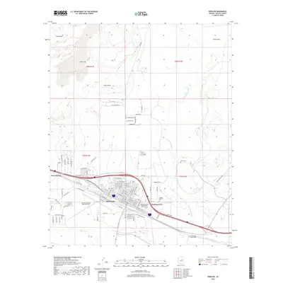
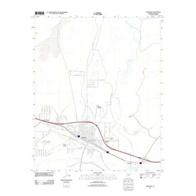 2011 Winslow2011 Print · USGSCovers Winslow West, including Winslow, Bushman Acres, and other nearby areas
 - 2014 Map of Winslow, 2014 Print
 2014 Winslow2014 Print · USGSCovers Winslow West, including Winslow, Bushman Acres, and other nearby areas
 - 2014 Map of Tucker Mesa, 2014 Print
 2014 Tucker Mesa2014 Print · USGSCovers Winslow West, including Winslow, Lechee, and other nearby areas
 - 2018 Map of Tucker Mesa, 2018 Print
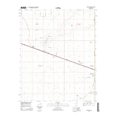
 2018 Tucker Mesa2018 Print · USGSCovers Winslow West, including Winslow, Lechee, and other nearby areas
 - 2018 Map of Winslow, 2018 Print
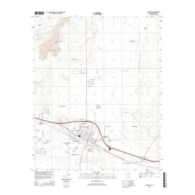
 2018 Winslow2018 Print · USGSCovers Winslow West, including Winslow, Bushman Acres, and other nearby areas
 - 2021 Map of Tucker Mesa, 2021 Print
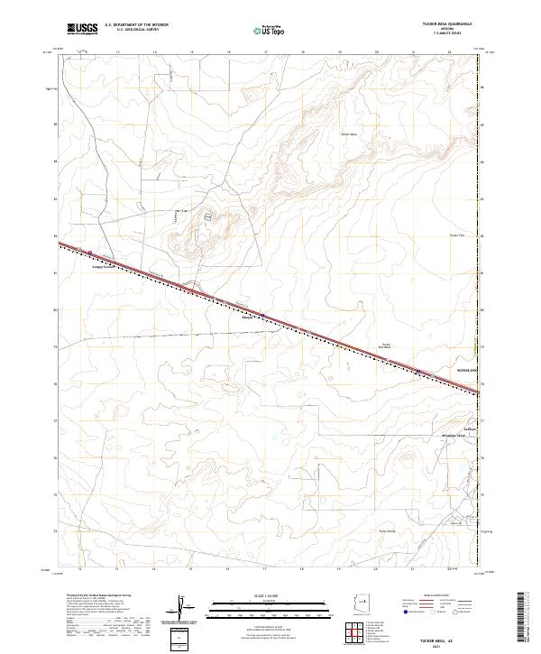 2021 Tucker Mesa2021 Print · USGSThe western outskirts of Winslow and the surrounding Coconino plateau are shown here during the early 2020s. Researchers can trace local development in Winslow West and LeChee, or follow the high-desert landmarks of Tucker Mesa and Toltec Divide.
 - 2021 Map of Winslow, 2021 Print
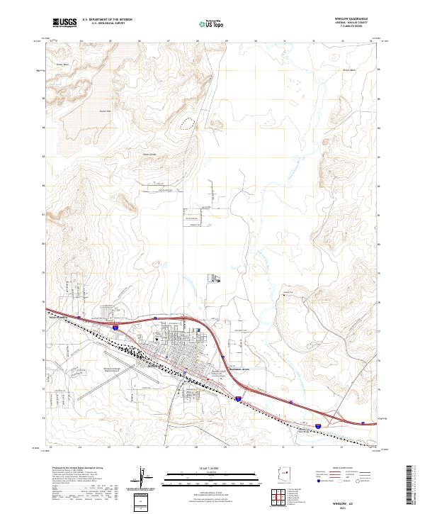 2021 Winslow2021 Print · USGSWinslow and the surrounding high desert terrain are captured here in the early twenty-first century as the city continues its legacy as a transportation hub. Researchers can trace local genealogy and landmarks from Desert View Cem to the storied route of Old W Hwy 66.
End of results
Showing maps 1-8 of 8
Top cities near Winslow West
Top neighborhoods of Winslow West
Frequently asked questions
- What are the different types of historical maps available for Winslow West?
- What is the oldest map of Winslow West?
- Where can I purchase historical maps of Winslow West for my home or office?
- Where can I download high-res historical maps of Winslow West?
- Are there historical topographic maps available for Winslow West?
- Is there historical aerial imagery available for Winslow West?
- Where are historical maps of Winslow West sourced from?