Old Maps of Cordes Lakes, Arizona for Metal Detecting
Plan your next treasure hunt with 18 historic maps of Cordes Lakes. Find old homesites, ghost towns, trails, and gathering spots that may be lost to time — perfect for identifying promising metal detecting locations.
- Locate forgotten sites: Uncover places like long-lost settlements, abandoned rail lines, or gathering spots.
- Plan better hunts: Use map overlays combined with LiDAR or satellite views to narrow in on historically rich areas.
- Made for detectorists: Thousands of hobbyists use these maps to discover relics, coins, and hidden history.
Use these historic maps to boost your research and find new opportunities beneath the surface of Cordes Lakes.
Cordes Lakes, AZ maps
(18)- 1887 Map of Prescott
 1887 Prescott1887 Print · USGSThe central Arizona highlands appear in the territorial era, showing the early development of mining and military outposts. Genealogists can trace family-named sites and vanished camps like Big Bug, Stanton, and the original site of Walnut Grove.
 - 1892 Map of Prescott, 1898 Print
 1892 Prescott1898 Print · USGSCentral Arizona in the late nineteenth century was a territory defined by remote mining camps and military outposts. Genealogists and historians can trace early routes between Prescott and Jerome, locating vanished names like Meersville and Bumble-bee.5 unique versions available
 - 1903 Map of Bradshaw Mountains
 1903 Bradshaw Mountains1903 Print · USGSArizona's mining heartland comes into focus during the territorial era as high-altitude camps and smelters reached their peak. Trace the early footprints of Crown King, Walker, and Tiptop alongside the winding route of the Prescott and Eastern R.R.4 unique versions available
 - 1947 Map of Mayer, 1955 Print
 1947 Mayer1955 Print · USGSYavapai County mining and ranching cultures are captured here just after the war, showing the network of claims and homesteads within the Prescott National Forest. Researchers can trace old operations like the Stoddard Mine and family holdings such as the Burmister Ranch.2 unique versions available
 - 1948 Map of Mayer
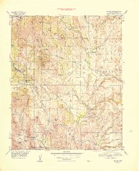 1948 Mayer1948 Print · USGSArizona's mining and ranching frontier is well established in Yavapai County during the late 1940s. Researchers can trace the industrial footprint of the Blue Bell Mine and Golden Turkey Mine or locate early family holdings like Burmister Ranch.
 - 1949 Map of Mayer
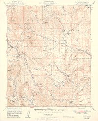 1949 Mayer1949 Print · USGSThe mining and ranching culture of Yavapai County is captured here in the late 1940s. Genealogists and researchers can trace the A T & S F rail line through Mayer to historic sites like the Blue Bell Mine and St Johns Mine.2 unique versions available
 - 1950 Map of Prescott, 1951 Print
 1950 Prescott1951 Print · USGSArizona's mining and ranching frontiers were in full operation during the early fifties, from the vertical streets of Jerome to the remote western desert. Genealogists and researchers can trace rural life via the Bland School, the United Verde Mine, and stops along the Atchison Topeka and Santa Fe Railway.
 - 1954 Map of Prescott, 1963 Print
 1954 Prescott1963 Print · USGSYavapai County mining and ranching districts are shown in high detail during the mid-twentieth century. Researchers can trace the legacy of remote camps and transport hubs like Swansea, Octave, and the Bagdad Mine along the desert rail lines.4 unique versions available
 - 1958 Map of Prescott
 1958 Prescott1958 Print · USGSCentral Arizona's rugged mining and ranching corridors come alive in the late fifties. Genealogists and historians can trace the remote Trout Creek School, the mining operations at Jerome, and the rail stops at Skull Valley and Kirkland.
 - 1959 Map of Prescott
 1959 Prescott1959 Print · USGSYavapai County and the central Arizona highlands come alive in the late fifties, showcasing a landscape of mountain mining towns and forest outposts. Researchers can trace the industrial footprints of the United Verde Mine, follow the Atchison Topeka and Santa Fe rails, and locate remote settlements like Swansea or Skull Valley.2 unique versions available
 - 1960 Map of Prescott
 1960 Prescott1960 Print · USGSYavapai County and the surrounding high-desert mining districts are captured here during a period of steady industrial and rail activity. Researchers can trace the routes of the Atchison Topeka and Santa Fe Railway and locate historic sites like the United Verde Mine and Bland School.2 unique versions available
 - 1965 Map of Prescott
 1965 Prescott1965 Print · USGSArizona's mining heartland is captured during the mid-sixties, from the copper mines of Jerome to the cattle country of Williamson Valley Wash. Genealogists and historians can trace old mining camps at Octave and Stanton or the historic Whipple Military Reservation.
 - 1974 Map of Cordes Junction, 1977 Print
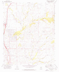 1974 Cordes Junction1977 Print · USGSYavapai County during the mid-1970s shows the convergence of high-desert ranching and modern transportation at the Cordes Junction crossroads. Researchers can trace remote mining prospects and landmarks like Horseshoe Ranch or the Bloody Basin Interchange.2 unique versions available
 - 1981 Map of Bradshaw Mts, 1996 Print
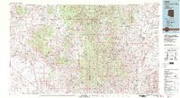 1981 Bradshaw Mts1996 Print · USGSYavapai County during the early 1980s reveals a high-desert landscape shaped by mining camps and the winding Atchison Topeka and Santa Fe railroad. Researchers can trace historic industrial sites like the Crown King Mine and remote settlements such as Bumble Bee and Cleator.2 unique versions available
 - 2012 Map of Cordes Junction, 2012 Print
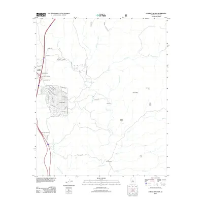 2012 Cordes Junction2012 Print · USGSHigh-desert ranching and experimental architecture meet in early 21st-century Yavapai County as modern residential tracts expand. Trace the development of Cordes Lakes and Arcosanti alongside the historic Burmister Ranch and the winding Agua Fria River.
 - 2014 Map of Cordes Junction, 2014 Print
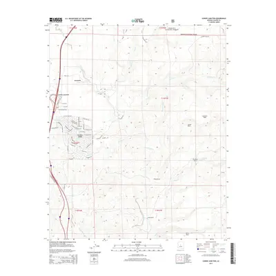 2014 Cordes Junction2014 Print · USGSThe high desert of Yavapai County is captured here in the early twenty-first century as modern settlements expand near the experimental community of Arcosanti. Researchers can trace the residential growth of Cordes Lakes and follow the natural drainages of the Agua Fria River and Big Bug Cr.
 - 2018 Map of Cordes Junction, 2018 Print
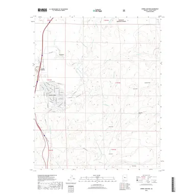 2018 Cordes Junction2018 Print · USGSThe high desert south of the Verde Valley appears in this recent study of the growing community at Cordes Lakes and the famous architectural experiment Arcosanti. Trace the path of the Agua Fria River past Perry Mesa or locate ranching corridors like 3 M Ranch Rd.
 - 2021 Map of Cordes Junction, 2021 Print
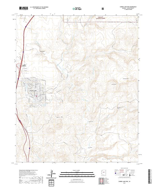 2021 Cordes Junction2021 Print · USGSYavapai County's high-desert landscape is captured in the early twenty-first century, centered on the unique architectural experiment of Arcosanti. Trace the transition from the Interstate crossroads at Cordes Junction to the rugged terrain of Perry Mesa and the Aqua Fria River.
End of results
Showing maps 1-18 of 18
Top cities near Cordes Lakes
- Prescott Valley historical maps
- Camp Verde historical maps
- Dewey-Humboldt historical maps
- Spring Valley historical maps
Frequently asked questions
- What are the different types of historical maps available for Cordes Lakes?
- What is the oldest map of Cordes Lakes?
- Where can I purchase historical maps of Cordes Lakes for my home or office?
- Where can I download high-res historical maps of Cordes Lakes?
- Are there historical topographic maps available for Cordes Lakes?
- Is there historical aerial imagery available for Cordes Lakes?
- Where are historical maps of Cordes Lakes sourced from?