Old Maps of Seligman, Arizona
Explore 18 old maps of Seligman, spanning from 1886 to today. These high-resolution historic maps reveal how streets, neighborhoods, landmarks, and natural features evolved over time — perfect for genealogy, metal detecting, research, and local history exploration.
What you can do with these maps:
- See how Seligman changed over time: Compare historical maps to modern-day views to trace roads, homesites, rail lines & more.
- View detailed metadata: Each map includes creators, publishers, year, scale, and archive source.
- Overlay maps with satellite & LiDAR: Visualize the past alongside modern tools to explore terrain & human change.
- Trusted historical sources: Maps sourced from the USGS, Library of Congress, and other archives.
- Access maps your way: View online, download high-res files, or order prints for personal or research use.
Start exploring old maps of Seligman to uncover forgotten places, hidden landmarks, and the deep history beneath your feet.
Seligman, AZ maps
(18)- 1886 Map of Chino
 1886 Chino1886 Print · USGSThe northern Arizona frontier comes to life in the 1880s as the rail line pushes across the high desert and mountain plateaus. Researchers can trace early water sources and settlements like Garland Ranch, Kerlin Well, and the historic Beale Wagon road.2 unique versions available
 - 1891 Map of Chino
 1891 Chino1891 Print · USGSIn the high country of northern Arizona during the late nineteenth century, the arrival of the railroad began to reshape the old frontier. Trace the route of the historic Beale Wagon road and find early mountain settlements and rail stops like Ash Fork, Williams, and Garland Ranch.4 unique versions available
 - 1948 Map of Williams
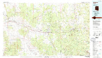
 1948 Williams1948 Print · USGSNorthern Arizona is captured here during the post-war era of roadside travel and heavy rail transport along the Santa Fe line. Researchers can trace the path of Route 66 through settlements like Seligman, Valentine, and Hackberry while exploring the vast terrain of the Hualpai Indian Reservation.2 unique versions available
 - 1954 Map of Williams, 1972 Print
 1954 Williams1972 Print · USGSThe high plateau of Northern Arizona is captured here during the mid-fifties, showing the rail-and-road corridor before the interstate era. You can trace family roots through remote railroad stops like Audley and Pica or locate early landmarks such as Grand Canyon Caverns and Frazier Wells.
 - 1956 Map of Williams, 1963 Print
 1956 Williams1963 Print · USGSNorthern Arizona in the mid-fifties reveals a landscape shaped by the Atchison Topeka and Santa Fe railroad and the iconic Highway 66. Trace the route of early travelers through Peach Springs, Seligman, and Ash Fork, or find remote sites like the Music Mountain Mine (Gold).3 unique versions available
 - 1960 Map of Williams
 1960 Williams1960 Print · USGSNorthern Arizona in the mid-twentieth century was defined by its massive canyons and the vital rail line connecting its remote ranches. Genealogists and historians can trace the development of Peach Springs, the high-altitude Bill Williams Mountain, and isolated outposts like Diamond Bar Ranch.
 - 1961 Map of Williams
 1961 Williams1961 Print · USGSNorthern Arizona in the mid-fifties reveals a high-desert landscape of rail towns and deep canyons along the Atchison Topeka and Santa Fe. Researchers can trace old Route 66 through Peach Springs, Seligman, and Ash Fork, or find remote sites like Music Mountain Mine.
 - 1981 Map of Seligman East
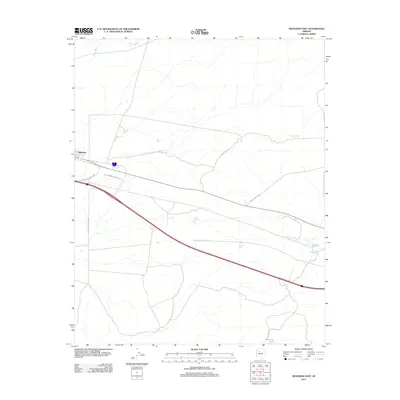
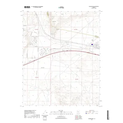
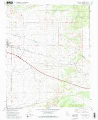 1981 Seligman East1981 Print · USGSSeligman sits at a historic crossroads in the early 1980s, where the high-desert rail economy met the interstate era. Genealogists and historians can trace the town layout near the Atchison Topeka and Santa Fe Railroad or locate local landmarks like Padre Reservoir and High Sch.2 unique versions available
 - 1981 Map of Seligman West
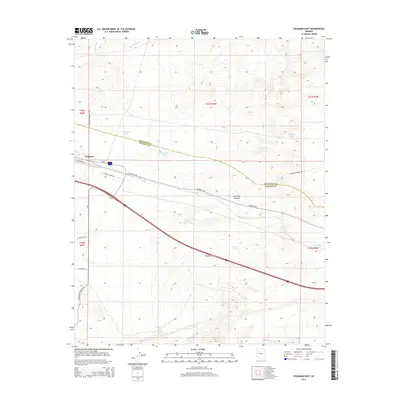
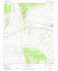 1981 Seligman West1981 Print · USGSThe high-desert crossroads at Seligman in the early 1980s reveals a landscape defined by the railroad and water management. Trace family-named landmarks like Buck Rogers Well and remote outposts such as Shorty Tank Corral along the Atchison Topeka and Santa Fe line.3 unique versions available
 - 1983 Map of Williams, 1984 Print
 1983 Williams1984 Print · USGSThe high plateaus and ranching country of northern Arizona are captured here in the early eighties as the modern interstate era matured. Researchers can trace the rail corridor of the Atchison Topeka and Santa Fe through Ash Fork, Seligman, and the slopes of Bill Williams Mountain.3 unique versions available
 - 2011 Map of Seligman West, 2011 Print
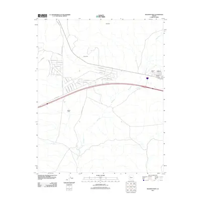 2011 Seligman West2011 Print · USGSCovers Seligman, including Yavapai County, Coconino County, and other nearby areas
 - 2011 Map of Seligman East, 2011 Print
 2011 Seligman East2011 Print · USGSCovers Seligman, including Yavapai County, Coconino County, and other nearby areas
 - 2014 Map of Seligman East, 2014 Print
 2014 Seligman East2014 Print · USGSCovers Seligman, including Yavapai County, Coconino County, and other nearby areas
 - 2014 Map of Seligman West, 2014 Print
 2014 Seligman West2014 Print · USGSCovers Seligman, including Yavapai County, Coconino County, and other nearby areas
 - 2018 Map of Seligman East, 2018 Print
 2018 Seligman East2018 Print · USGSCovers Seligman, including Yavapai County, Coconino County, and other nearby areas
 - 2018 Map of Seligman West, 2018 Print
 2018 Seligman West2018 Print · USGSCovers Seligman, including Yavapai County, Coconino County, and other nearby areas
 - 2021 Map of Seligman West, 2021 Print
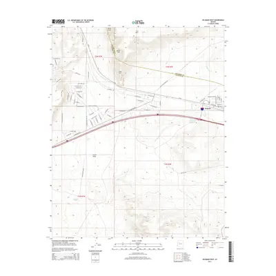
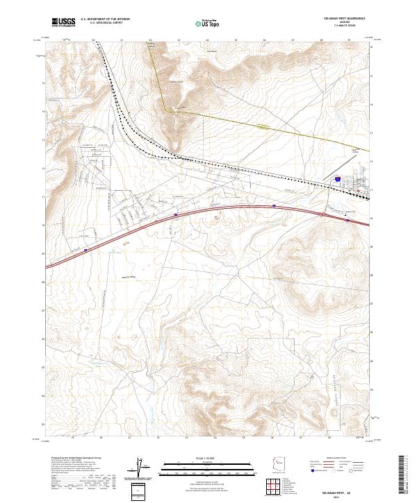 2021 Seligman West2021 Print · USGSThe western outskirts of Seligman, Arizona, are seen here as the high desert landscape meets modern infrastructure in the early 2020s. Researchers can trace local development along Bridge Canyon and locate landmarks like the Seligman Cem and Seligman Airport.
 - 2021 Map of Seligman East, 2021 Print
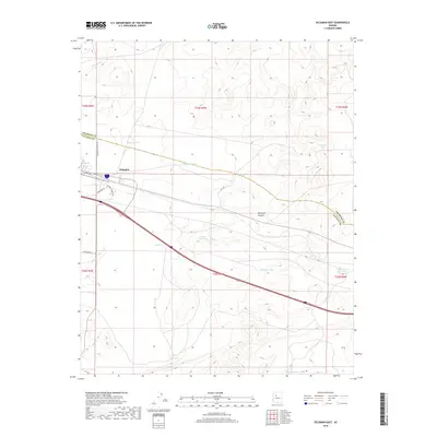
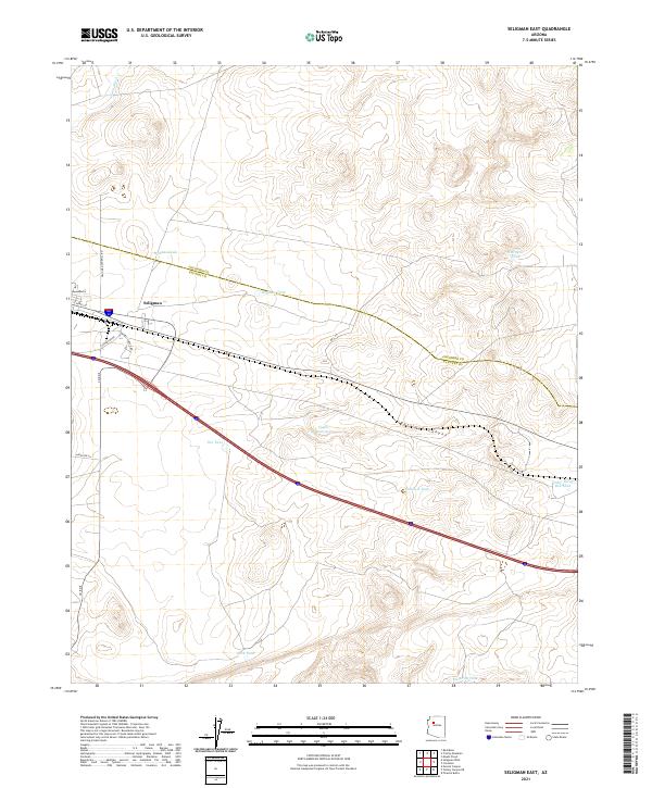 2021 Seligman East2021 Print · USGSThe high plateau of Yavapai County comes into focus in this recent survey, centered on the transit crossroads at Seligman. Researchers can trace the essential water-management network of the region through family-named landmarks like Wagner Tank and Cedar Berry Bob Tank.
End of results
Showing maps 1-18 of 18
Frequently asked questions
- What are the different types of historical maps available for Seligman?
- What is the oldest map of Seligman?
- Where can I purchase historical maps of Seligman for my home or office?
- Where can I download high-res historical maps of Seligman?
- Are there historical topographic maps available for Seligman?
- Is there historical aerial imagery available for Seligman?
- Where are historical maps of Seligman sourced from?