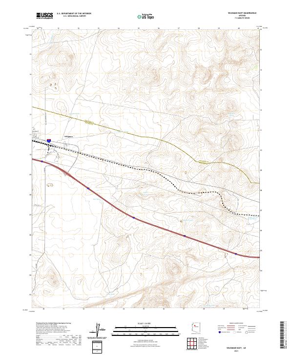
2021 Map of Seligman East
USGS Topo · Published 2021About this map
Seligman serves as the primary hub in this high-plateau region, situated near the boundary where the Coconino and Yavapai county lines intersect. The landscape is defined by the vital management of water in an arid environment, evidenced by a dense network of catchment features such as Wagner Tank, Hoffman Tank, and the Padre Reservoir. These points of collection, along with the drainage of Chino Wash, illustrate the historical reliance on localized water sources for ranching and transit.
Find a feature on this map
26 named features on this map. Tap any name to fly to it.
Don’t see what you’re looking for? This feature index may not catch every label — zoom into the map to look around manually.
Map Details
Editions of this 2021 Seligman East Map
This is the sole edition of this map. No revisions or reprints were ever made.
Other maps of this area

1886 · Chino
USGS Topo · 1:250,000

1891 · Chino
USGS Topo · 1:250,000

1947 · Picacho Butte
USGS Topo · 1:62,500

1947 · Turkey Canyon
USGS Topo · 1:62,500

1948 · Williams
USGS Topo · 1:250,000

1948 · Picacho Butte
USGS Topo · 1:63,360

1950 · Turkey Canyon
USGS Topo · 1:62,500

1950 · Picacho Butte
USGS Topo · 1:62,500

1954 · Williams
USGS Topo · 1:250,000

1956 · Williams
USGS Topo · 1:250,000