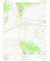
1981 Map of Seligman West
USGS Topo · Published 1981About this map
Seligman serves as the focal point of this high-desert landscape, positioned at a critical junction where the Atchison Topeka and Santa Fe railroad corridor meets the developing infrastructure of the early 1980s. The settlement's proximity to the Coconino Co Yavapai Co boundary highlights its role as a regional waypoint for travel and industry. The terrain is dramatically defined by the Aubrey Cliffs and the northern reaches of the Juniper Mountains, creating a rugged backdrop for the expansive Aubrey Valley.
Find a feature on this map
28 named features on this map. Tap any name to fly to it.
Don’t see what you’re looking for? This feature index may not catch every label — zoom into the map to look around manually.
Map Details
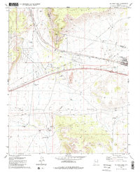
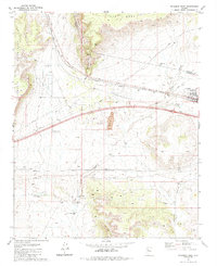
Editions of this 1981 Seligman West Map
3 editions found
Other maps of this area

1886 · Diamond Creek
USGS Topo · 1:250,000

1886 · Chino
USGS Topo · 1:250,000

1891 · Chino
USGS Topo · 1:250,000

1892 · Diamond Creek
USGS Topo · 1:250,000

1947 · Turkey Canyon
USGS Topo · 1:62,500

1948 · Williams
USGS Topo · 1:250,000

1950 · Turkey Canyon
USGS Topo · 1:62,500

1954 · Williams
USGS Topo · 1:250,000

1956 · Williams
USGS Topo · 1:250,000

1960 · Williams
USGS Topo · 1:250,000