Old Maps of Wellton, Arizona for Genealogy
Trace your family roots with 24 historic maps of Wellton. These high-res maps reveal old neighborhoods, homesites, landmarks, and streets — helping you uncover where your ancestors lived and how the area evolved over time.
- Explore historic neighborhoods: Identify where your relatives may have lived in the 1800s or 1900s.
- Compare maps over time: Trace the changes in streets, buildings, and landmarks for multi-generational research.
- Perfect for genealogy & ancestry research: Used by family historians and researchers to map out lineage and migration.
These maps are an incredible resource for exploring your personal connection to Wellton's past.
Wellton, AZ maps
(24)- 1926 Map of Wellton, 1958 Print
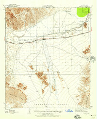 1926 Wellton1958 Print · USGSYuma County during the mid-1920s reveals a desert landscape defined by the arrival of the railroad and the management of the Gila River. Researchers can trace the early footprints of settlements like Wellton and Adonde or locate landmarks such as Radium Hot Springs and Antelope Hill.2 unique versions available
 - 1929 Map of Wellton
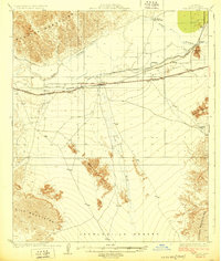 1929 Wellton1929 Print · USGSIn the late 1920s, this desert landscape centered on the Wellton rail corridor and the life-giving Gila River. Genealogists and historians can trace the railway settlements of Adonde and Tacna or locate the site of Radium Hot Springs.3 unique versions available
 - 1942 Map of Yuma
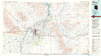
 1942 Yuma1942 Print · USGSThe desert frontier near Yuma underwent a massive transformation during the early war years as irrigation and military infrastructure expanded. Researchers can trace the development of the All American Canal Project and locate numerous historic workings like the Fortuna Mine and Old Senator Mine.
 - 1954 Map of El Centro
 1954 El Centro1954 Print · USGSThe Imperial Valley was at its mid-century agricultural peak when this survey recorded its vast irrigation network and desert borderlands. Researchers can trace the path of the All American Canal or locate local landmarks like Lantana School and the Tumco Mines.
 - 1955 Map of El Centro
 1955 El Centro1955 Print · USGSThe Imperial Valley and the Colorado River borderlands are captured here in the mid-fifties during the peak of the region's irrigation-driven expansion. Researchers can trace the desert's industrial history through the Tumco Mines, the Yuma Test Branch, and rural landmarks like the Palmetto School.
 - 1958 Map of El Centro, 1972 Print
 1958 El Centro1972 Print · USGSThe Imperial Valley's agricultural heartland and the Colorado River's edge are captured here during a period of massive water infrastructure and military expansion. Genealogists and historians can trace old mining sites like the Ferguson Mine, desert outposts such as Ogilby, and early rail lines including the San Diego and Arizona Eastern.4 unique versions available
 - 1961 Map of El Centro
 1961 El Centro1961 Print · USGSThe California-Arizona borderlands come alive in this early sixties record of desert irrigation and military expansion. Genealogists and researchers can trace the engineering of the All American Canal and locate vanished sites like Araz and the Imperial County Tuberculosis Sanatorium.
 - 1964 Map of El Centro
 1964 El Centro1964 Print · USGSThe agricultural heart of the California desert and the military test ranges of Arizona are revealed in this mid-century study. Genealogists and historians can trace the paths of the Southern Pacific railroad and the All American Canal near El Centro and Yuma.
 - 1965 Map of Wellton Mesa, 1966 Print
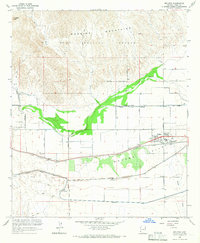
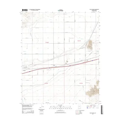
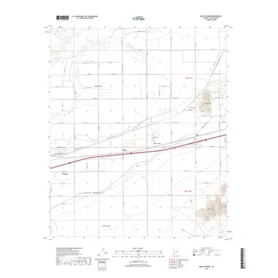
 1965 Wellton Mesa1966 Print · USGSYuma County agricultural and military operations intersect during the mid-sixties along the corridor of the Gila River. Genealogists and researchers can trace the Southern Pacific rail line past Noah, Asher, and the site of Radium Hot Springs (Site).4 unique versions available
 - 1965 Map of Wellton Hills, 1966 Print
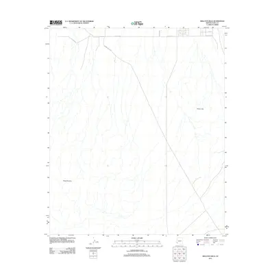
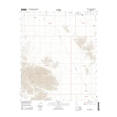
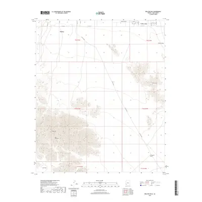
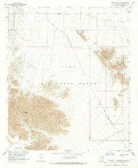 1965 Wellton Hills1966 Print · USGSSouthern Arizona’s arid borderlands are documented here in the mid-1960s, showing a landscape defined by military use and historic trails. You can trace the legendary El Camino Del Diablo or locate isolated Mines near the Wellton Hills.2 unique versions available
 - 1965 Map of Wellton, 1966 Print
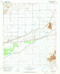
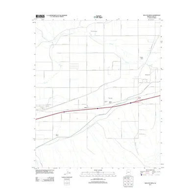
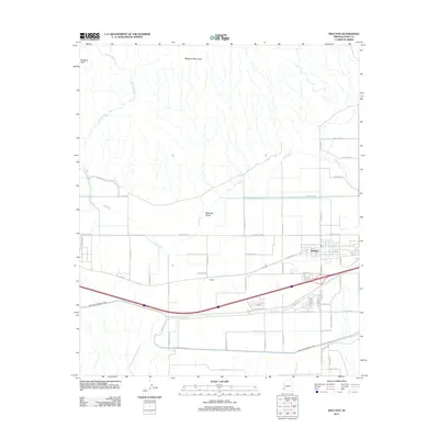
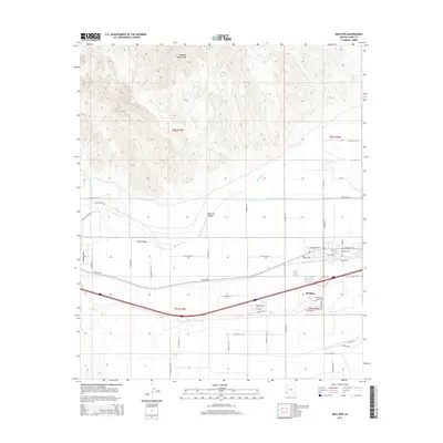
 1965 Wellton1966 Print · USGSWellton sits at the intersection of desert rail and irrigation in the mid-1960s, a period when water management transformed the Arizona landscape. Genealogists and historians can trace the early layout of Wellton, the tracks of the Southern Pacific, and the rugged boundaries of the Yuma Proving Ground.3 unique versions available
 - 1993 Map of Yuma
 1993 Yuma1993 Print · USGSYuma and the lower Colorado River valley are documented here in the early nineties, showing a landscape defined by massive desert irrigation and military ranges. Trace the rail-and-water economy through the Southern Pacific line and sites like Imperial Dam or the Fortuna Mine.2 unique versions available
 - 2011 Map of Wellton Mesa, 2011 Print
 2011 Wellton Mesa2011 Print · USGSCovers Wellton, including Noah, Asher, and other nearby areas
 - 2011 Map of Wellton Hills, 2011 Print
 2011 Wellton Hills2011 Print · USGSCovers Wellton, including Wellton Hills, Yuma County, and other nearby areas
 - 2011 Map of Wellton, 2011 Print
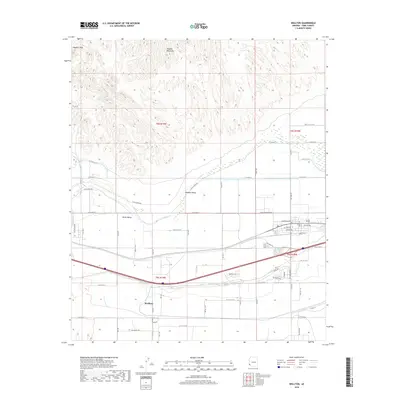
 2011 Wellton2011 Print · USGSCovers Wellton, including Wellton Hills, Liguerta Foothills, and other nearby areas
 - 2014 Map of Wellton Hills, 2014 Print
 2014 Wellton Hills2014 Print · USGSCovers Wellton, including Wellton Hills, Yuma County, and other nearby areas
 - 2014 Map of Wellton Mesa, 2014 Print
 2014 Wellton Mesa2014 Print · USGSCovers Wellton, including Noah, Asher, and other nearby areas
 - 2014 Map of Wellton, 2014 Print
 2014 Wellton2014 Print · USGSCovers Wellton, including Wellton Hills, Liguerta Foothills, and other nearby areas
 - 2018 Map of Wellton Mesa, 2018 Print
 2018 Wellton Mesa2018 Print · USGSCovers Wellton, including Noah, Asher, and other nearby areas
 - 2018 Map of Wellton, 2018 Print
 2018 Wellton2018 Print · USGSCovers Wellton, including Wellton Hills, Liguerta Foothills, and other nearby areas
 - 2018 Map of Wellton Hills, 2018 Print
 2018 Wellton Hills2018 Print · USGSCovers Wellton, including Wellton Hills, Yuma County, and other nearby areas
 - 2021 Map of Wellton Hills, 2021 Print
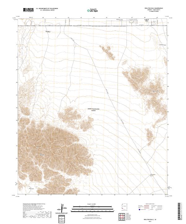 2021 Wellton Hills2021 Print · USGSThe northern Sonoran Desert near the Gila River comes into focus in this recent survey of Yuma County. Researchers can trace the path of the Cam Del Diablo as it skirts the Gila Mountains and the prominent heights of Sheep Mtn.
 - 2021 Map of Wellton, 2021 Print
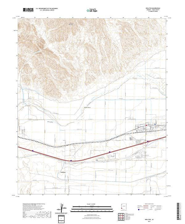 2021 Wellton2021 Print · USGSThe arid landscape of Yuma County is defined here by the Gila River corridor during the early twenty-first century. Researchers can trace the development of Wellton and its surrounding agricultural zones in Mohawk Valley and Dome Valley.
 - 2021 Map of Wellton Mesa, 2021 Print
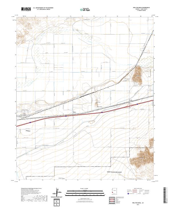 2021 Wellton Mesa2021 Print · USGSYuma County agricultural and desert lands are captured here in the early twenty-first century as the Gila River corridor continues to support local life. Researchers can trace the layout of Wellton, Asher, and Noah alongside the irrigation routes of Wellton Canal Rd.
End of results
Showing maps 1-24 of 24
Top cities near Wellton
Frequently asked questions
- What are the different types of historical maps available for Wellton?
- What is the oldest map of Wellton?
- Where can I purchase historical maps of Wellton for my home or office?
- Where can I download high-res historical maps of Wellton?
- Are there historical topographic maps available for Wellton?
- Is there historical aerial imagery available for Wellton?
- Where are historical maps of Wellton sourced from?