Old Maps of De Witt, DeWitt for Metal Detecting
Plan your next treasure hunt with 15 historic maps of De Witt. Find old homesites, ghost towns, trails, and gathering spots that may be lost to time — perfect for identifying promising metal detecting locations.
- Locate forgotten sites: Uncover places like long-lost settlements, abandoned rail lines, or gathering spots.
- Plan better hunts: Use map overlays combined with LiDAR or satellite views to narrow in on historically rich areas.
- Made for detectorists: Thousands of hobbyists use these maps to discover relics, coins, and hidden history.
Use these historic maps to boost your research and find new opportunities beneath the surface of De Witt.
De Witt, DeWitt maps
(15)- 1941 Map of De Witt, 1942 Print
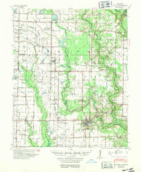
 1941 De Witt1942 Print · USGSArkansas County’s rice-growing prairie is shown in detail during the early 1940s, revealing a landscape transformed by intensive irrigation and rail transport. Genealogists and local historians can trace family roots through numerous rural landmarks like Wofford Chapel, Prairieville Sch, and the St Louis Southwestern rail line.
 - 1948 Map of Helena
 1948 Helena1948 Print · USGSEastern Arkansas and the Mississippi Delta are captured here just after the war, showing a landscape defined by its great rivers and rail lines. Genealogists can trace family locations near Bemis Plantation, Helena, and smaller rail stops like Wheatley and Moro.
 - 1950 Map of Helena
 1950 Helena1950 Print · USGSMid-century Phillips County and the surrounding Delta region are shown at a peak of rail and river commerce. Genealogists and historians can trace family locations through numerous rural communities like Old Austin, Cotton Plant, and West Helena, or follow the routes of the Missouri Pacific RR across Grand Prairie.2 unique versions available
 - 1954 Map of De Witt
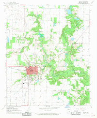
 1954 De Witt1954 Print · USGSArkansas County during the early 1950s reveals a productive landscape of rice farms and bayous centered on the town of De Witt. Genealogists and historians can trace many rural landmarks including Wofford Chapel & Cem, the Emanuel Industrial Sch & Ch, and the Prairieville Sch.
 - 1955 Map of Helena, 1967 Print
 1955 Helena1967 Print · USGSThe Arkansas Delta and Mississippi floodplains are captured here in the mid-fifties, during a period of expanding flood control and rail commerce. Researchers can trace the extensive Chicago Rock Island and Pacific RR lines and locate sites like the Arkansas State College Experimental Rice Farm or Friars Point.2 unique versions available
 - 1959 Map of Helena
 1959 Helena1959 Print · USGSThe Arkansas and Mississippi Delta regions are captured here in the late fifties, showing a landscape defined by the Mississippi River and the Grand Prairie. Genealogists and researchers can trace the rail networks of the Illinois Central RR and locate community landmarks like Helena and the White River National Wildlife Refuge.
 - 1960 Map of Helena
 1960 Helena1960 Print · USGSThe Arkansas and Mississippi Delta regions meet along the great river bends during a period of significant agricultural and rail expansion. Genealogists and historians can trace the paths of the Missouri Pacific railroad through Clarendon or locate landings along the Mississippi River and White River.
 - 1968 Map of De Witt, 1969 Print
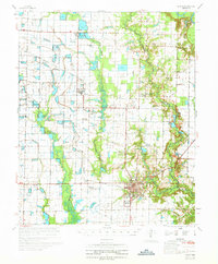
 1968 De Witt1969 Print · USGSDe Witt and its surrounding Arkansas County prairie lands are shown here in the late sixties, highlighting the region's agricultural and civic layout. Genealogists can locate family burial sites at Thompson Cem or Malone Cem and trace the paths of the St Louis Southwestern railroad.
 - 1970 Map of De Witt
 1970 De Witt1970 Print · USGSThe Arkansas Delta comes to life in this survey of the De Witt area, where a complex network of flumes and bayous supports a thriving agricultural landscape. Trace the local heritage through family-named landmarks like Yoder Cem, Eldridge Corner, and Forks LaGrue Ch.
 - 1986 Map of De Witt
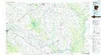 1986 De Witt1986 Print · USGSThe Arkansas Delta in the mid-1980s was a landscape defined by massive river locks, state prison farms, and the rail-side grain towns of Arkansas County. Researchers can trace the path of the St Louis Southwestern Railway through settlements like De Witt, Altheimer, and Humphrey.2 unique versions available
 - 2011 Map of De Witt, 2011 Print
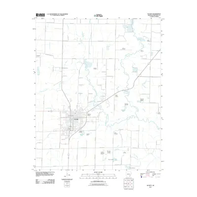 2011 De Witt2011 Print · USGSCovers De Witt, including DeWitt, Arkansas County, and other nearby areas
 - 2014 Map of De Witt, 2014 Print
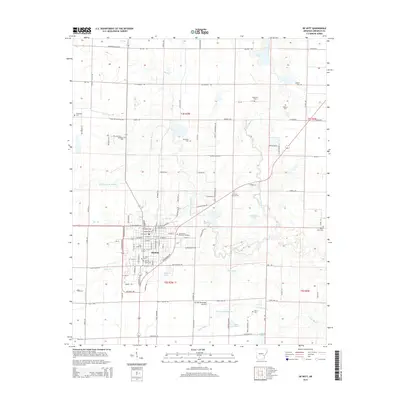 2014 De Witt2014 Print · USGSCovers De Witt, including DeWitt, Arkansas County, and other nearby areas
 - 2017 Map of De Witt, 2017 Print
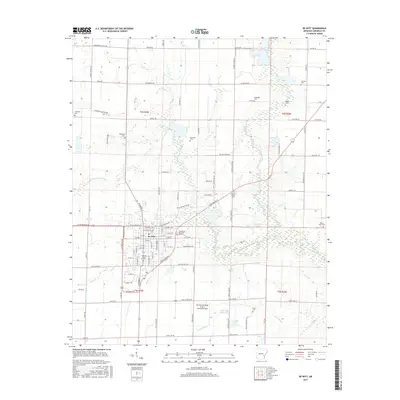 2017 De Witt2017 Print · USGSCovers De Witt, including DeWitt, Arkansas County, and other nearby areas
 - 2020 Map of De Witt, 2020 Print
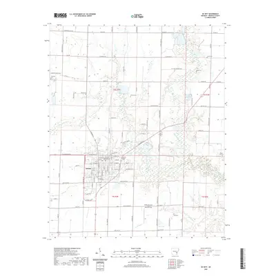 2020 De Witt2020 Print · USGSCovers De Witt, including DeWitt, Arkansas County, and other nearby areas
 - 2024 Map of De Witt, 2024 Print
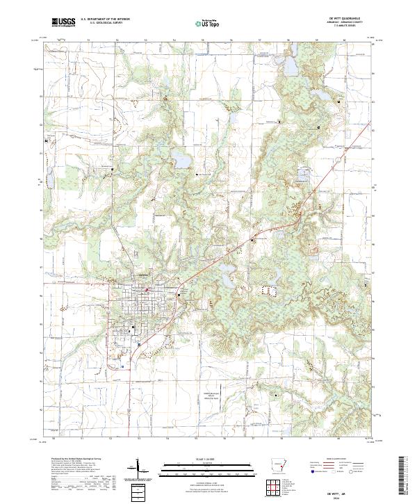 2024 De Witt2024 Print · USGSDe Witt and its surrounding delta landscape appear in clear detail during this recent survey of Arkansas County. Researchers can trace the town's layout from the Arkansas County Courthouse to rural landmarks and local cemeteries like Morning Glory Cem and Malone Cem.
End of results
Showing maps 1-15 of 15
Top cities near De Witt
- Stuttgart historical maps
- DeWitt historical maps
- Gillett historical maps
- Almyra historical maps
- Saint Charles historical maps
Frequently asked questions
- What are the different types of historical maps available for De Witt?
- What is the oldest map of De Witt?
- Where can I purchase historical maps of De Witt for my home or office?
- Where can I download high-res historical maps of De Witt?
- Are there historical topographic maps available for De Witt?
- Is there historical aerial imagery available for De Witt?
- Where are historical maps of De Witt sourced from?