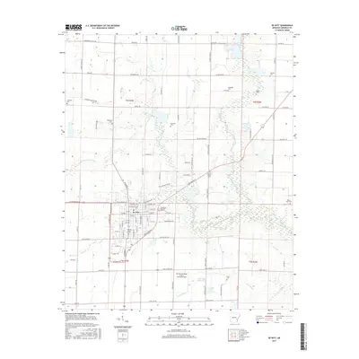
2017 Map of De Witt
USGS Topo · Published 2017About this map
De Witt serves as the central hub of this Arkansas Delta landscape, where a dense grid of residential streets gives way to an expansive agricultural and wetland system. The town is flanked by numerous family and community burial grounds, including the Morning Glory Cem, Cedarcrest Memorial Gardens, and the McDaniel Cem, which provide significant touchstones for local genealogical research. To the south, the De Witt Municipal Airport Whitcomb Field marks a modern transport node amidst the natural drainages of the region.
Find a feature on this map
112 named features on this map. Tap any name to fly to it.
Don’t see what you’re looking for? This feature index may not catch every label — zoom into the map to look around manually.
Map Details
Editions of this 2017 De Witt Map
This is the sole edition of this map. No revisions or reprints were ever made.
Other maps of this area

1935 · Gillett
USGS Topo · 1:62,500

1939 · Indian Bay
USGS Topo · 1:62,500

1939 · Henrico
USGS Topo · 1:62,500

1941 · De Witt
USGS Topo · 1:62,500

1948 · Helena
USGS Topo · 1:250,000

1950 · Helena
USGS Topo · 1:250,000

1954 · Indian Bay
USGS Topo · 1:62,500

1954 · De Witt
USGS Topo · 1:62,500

1954 · Henrico
USGS Topo · 1:62,500

1955 · Helena
USGS Topo · 1:250,000