Old Maps of Saint Charles, Arkansas for Hiking & Exploration
Hike through history with 33 historic maps of Saint Charles. Explore old trails, ghost towns, and forgotten backroads — perfect for outdoor adventurers and local explorers.
- Rediscover forgotten places: Map out old mining camps, roads, and footpaths that no longer exist on modern maps.
- Layer with modern tools: Combine with LiDAR or satellite views to plan hikes through historical terrain.
- Made for exploration: Popular among hikers, overlanders, and local history lovers.
Use these maps to find adventure and explore the hidden past of Saint Charles.
Saint Charles, AR maps
(33)- 1939 Map of Indian Bay, 1941 Print
 1939 Indian Bay1941 Print · USGSThe Arkansas delta near the confluence of the White River and Arkansas River is shown here just before the Second World War. Genealogists and local historians can trace numerous rural schoolhouses and churches, including Pin Oak Sch, Hill Chapel, and the St John Church and Cemetery.2 unique versions available
 - 1948 Map of Helena
 1948 Helena1948 Print · USGSEastern Arkansas and the Mississippi Delta are captured here just after the war, showing a landscape defined by its great rivers and rail lines. Genealogists can trace family locations near Bemis Plantation, Helena, and smaller rail stops like Wheatley and Moro.
 - 1950 Map of Helena
 1950 Helena1950 Print · USGSMid-century Phillips County and the surrounding Delta region are shown at a peak of rail and river commerce. Genealogists and historians can trace family locations through numerous rural communities like Old Austin, Cotton Plant, and West Helena, or follow the routes of the Missouri Pacific RR across Grand Prairie.2 unique versions available
 - 1954 Map of Indian Bay
 1954 Indian Bay1954 Print · USGSThe White River bottomlands of Monroe and Phillips counties come alive in the mid-fifties, showing a landscape defined by oxbow lakes and river management. Genealogists can locate rural landmarks like Clabe Chapel Sch, Smalley Cem, and the riverside community of Indian Bay.
 - 1955 Map of Helena, 1967 Print
 1955 Helena1967 Print · USGSThe Arkansas Delta and Mississippi floodplains are captured here in the mid-fifties, during a period of expanding flood control and rail commerce. Researchers can trace the extensive Chicago Rock Island and Pacific RR lines and locate sites like the Arkansas State College Experimental Rice Farm or Friars Point.2 unique versions available
 - 1959 Map of Helena
 1959 Helena1959 Print · USGSThe Arkansas and Mississippi Delta regions are captured here in the late fifties, showing a landscape defined by the Mississippi River and the Grand Prairie. Genealogists and researchers can trace the rail networks of the Illinois Central RR and locate community landmarks like Helena and the White River National Wildlife Refuge.
 - 1960 Map of Helena
 1960 Helena1960 Print · USGSThe Arkansas and Mississippi Delta regions meet along the great river bends during a period of significant agricultural and rail expansion. Genealogists and historians can trace the paths of the Missouri Pacific railroad through Clarendon or locate landings along the Mississippi River and White River.
 - 1967 Map of Ethel, 1968 Print
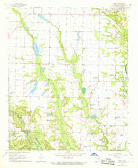 1967 Ethel1968 Print · USGSArkansas County during the late 1960s shows a transition from the wooded White River bottomlands to the irrigated prairie. Genealogists can locate family landmarks like St John Cem, Hill Chapel, and the ancient Indian Mound along the bayous.2 unique versions available
 - 1967 Map of Indian Bay SE, 1968 Print
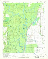 1967 Indian Bay SE1968 Print · USGSThe Arkansas Delta's bottomlands are preserved in the late sixties within the White River National Wildlife Refuge. Researchers can trace old river landings and local family landmarks like Hortons Landing, Jones Cem, and Eagle Nest Lake.3 unique versions available
 - 1967 Map of Turner, 1968 Print
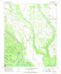 1967 Turner1968 Print · USGSMonroe and Phillips counties come alive in the late sixties as the White River bottomlands give way to a network of rural settlements. Genealogists and local historians can trace family roots at Israel Cem, St John Ch, and the community of Turner.2 unique versions available
 - 1967 Map of Crocketts Bluff, 1968 Print
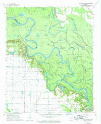 1967 Crocketts Bluff1968 Print · USGSThe Arkansas River Delta bottomlands are captured here in the late 1960s, showing the complex interaction of agriculture and river wildness. Researchers can locate family landmarks like Lutheran Cemetery and Hopewell Church or trace the early waterfront at Crocketts Bluff.3 unique versions available
 - 1970 Map of Indian Bay
 1970 Indian Bay1970 Print · USGSThe White River bottomlands in the late sixties remain a maze of oxbow lakes and wetlands along the Monroe and Phillips county lines. Genealogists can trace family names at St John Cem or locate rural landmarks like Hill Chapel and the Indian Mound.2 unique versions available
 - 1986 Map of De Witt
 1986 De Witt1986 Print · USGSThe Arkansas Delta in the mid-1980s was a landscape defined by massive river locks, state prison farms, and the rail-side grain towns of Arkansas County. Researchers can trace the path of the St Louis Southwestern Railway through settlements like De Witt, Altheimer, and Humphrey.2 unique versions available
 - 2011 Map of Indian Bay SE, 2011 Print
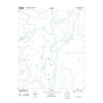 2011 Indian Bay SE2011 Print · USGSThe Arkansas Delta riverfront is captured here in the early twenty-first century, revealing a landscape defined by the shifting waters of the White River. Genealogists and local historians can locate the Chute Cemetery, Jones Cemetery, and the river landing at Hortons Landing.
 - 2011 Map of Crocketts Bluff, 2011 Print
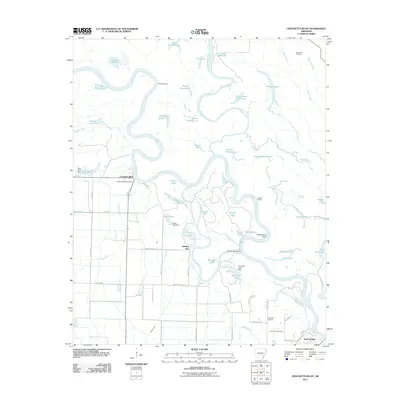 2011 Crocketts Bluff2011 Print · USGSThe Arkansas river bottomlands around Crocketts Bluff are captured here in the early twenty-first century. Researchers can trace local heritage through sites like Saint John Cemetery and the riverfront settlement of Saint Charles.
 - 2011 Map of Ethel, 2011 Print
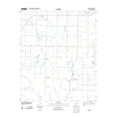 2011 Ethel2011 Print · USGSSaint Charles and the surrounding Arkansas County countryside are shown here at the start of the 2010s. Genealogists and local historians can trace family ties through rural landmarks like the Ethel Post Office and several local burial sites, including Mount Pleasant Cemetery and McEwen Cemetery.
 - 2011 Map of Turner, 2011 Print
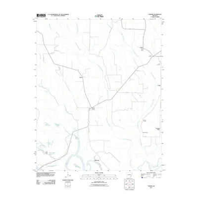 2011 Turner2011 Print · USGSThe Arkansas Delta comes alive in this survey of the riverlands and bayous south of Marvell. Genealogists and historians can trace local family lineages through several burial grounds, including Israel Cemetery, and the historic Turner Post Office.
 - 2014 Map of Ethel, 2014 Print
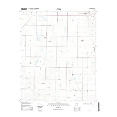 2014 Ethel2014 Print · USGSThe riverlands of Arkansas County appear in detail during the early 2010s, centered on the historic river town of Saint Charles. Local researchers can trace family landmarks like McEwen Cem and Butler Cem near the banks of La Grue Bayou and Big Creek.
 - 2014 Map of Crocketts Bluff, 2014 Print
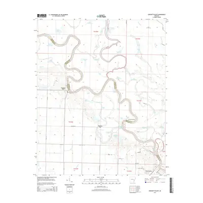 2014 Crocketts Bluff2014 Print · USGSThe White River delta in eastern Arkansas comes alive in this study of the river's winding oxbows and rural settlements. Researchers can trace the grounds of Saint John Cem, identify the location of Crocketts Bluff, and explore the maze of waterways like Maddox Bay.
 - 2014 Map of Turner, 2014 Print
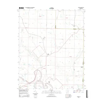 2014 Turner2014 Print · USGSThe Arkansas Delta comes into focus in the early twenty-first century, showcasing a landscape defined by the White River and rural crossroads. Family historians can locate several local burial sites including Valley Grove Cem, Israel Cem, and Smalley Cem.
 - 2014 Map of Indian Bay SE, 2014 Print
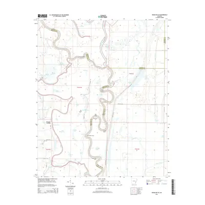 2014 Indian Bay SE2014 Print · USGSThe Arkansas delta comes alive in this modern survey of the winding White River corridor. Genealogists and historians can locate family landmarks like Hortons Landing and isolated burial grounds including Chute Cem and Jones Cem.
 - 2017 Map of Ethel, 2017 Print
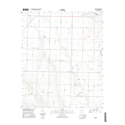 2017 Ethel2017 Print · USGSSaint Charles and the surrounding Arkansas County wetlands are shown here in the 21st century. Researchers can locate remote family landmarks like Saint John Cem or trace the winding waters of La Grue Bayou and Lake Rosebud.
 - 2017 Map of Crocketts Bluff, 2017 Print
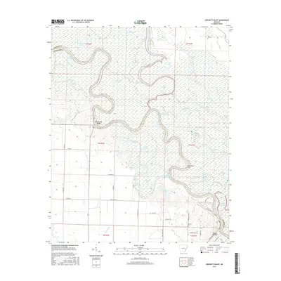 2017 Crocketts Bluff2017 Print · USGSThe White River bottomlands are captured here in the late twenty-teens, showing the complex aquatic landscape of the Arkansas Delta. Researchers can trace historic river landings and family sites including Crocketts Bluff, Saint John Cem, and Maddox Bay.
 - 2017 Map of Turner, 2017 Print
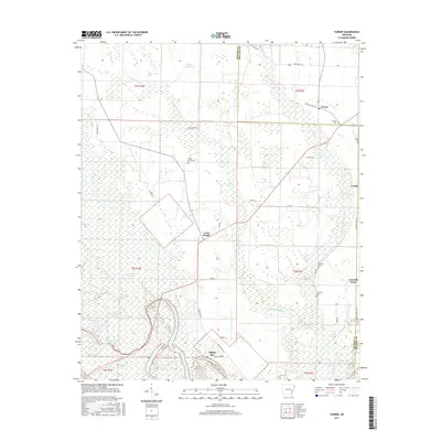 2017 Turner2017 Print · USGSThe Arkansas Delta comes into focus in this recent survey of the Monroe and Phillips county lines. Genealogists can trace local roots through Turner, Smalley, and Indian Bay, or locate family sites at Valley Grove Cem and Israel Cem.
 - 2017 Map of Indian Bay SE, 2017 Print
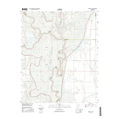 2017 Indian Bay SE2017 Print · USGSThe confluence of Arkansas, Monroe, and Phillips counties comes alive in this 2017 survey of the White River bottomlands. Genealogists and local historians can locate remote landmarks like Chute Cem, Jones Cem, and the shifting channels of Big Island Chute.
Showing maps 1-25 of 33
Top cities near Saint Charles
Frequently asked questions
- What are the different types of historical maps available for Saint Charles?
- What is the oldest map of Saint Charles?
- Where can I purchase historical maps of Saint Charles for my home or office?
- Where can I download high-res historical maps of Saint Charles?
- Are there historical topographic maps available for Saint Charles?
- Is there historical aerial imagery available for Saint Charles?
- Where are historical maps of Saint Charles sourced from?