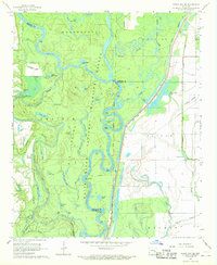
1967 Map of Indian Bay SE
USGS Topo · Published 1968About this map
The White River meanders through the heart of the White River National Wildlife Refuge in this late-1960s survey, illustrating a landscape defined by seasonal floodwaters and complex river dynamics. The map captures a labyrinth of oxbow lakes, chutes, and points, including Cocklebur Lakes, Little Jones Lake, and Coon Point. This area, where Monroe, Phillips, and Arkansas counties meet, was managed through an extensive Levee system and multiple floodgates to control the erratic flow of the Delta's waterways. Settlement is sparse, limited to points like Hortons Landing and the Jones Cem, highlighting the region's preservation as a wild timber and wetland habitat. The southern portion of the sheet shows the transition into drainage systems like Hurricane Bayou and Essex Bayou, marking the edge of the vast river bottomlands.
Find a feature on this map
70 named features on this map. Tap any name to fly to it.
Don’t see what you’re looking for? This feature index may not catch every label — zoom into the map to look around manually.
Map Details
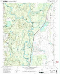
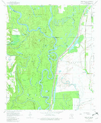
Editions of this 1967 Indian Bay SE Map
3 editions found
Other maps of this area

1930 · Mellwood
USGS Topo · 1:62,500

1939 · Modoc
USGS Topo · 1:62,500

1939 · Indian Bay
USGS Topo · 1:62,500

1939 · Henrico
USGS Topo · 1:62,500

1939 · Mellwood
USGS Topo · 1:62,500

1948 · Helena
USGS Topo · 1:250,000

1948 · Modoc
USGS Topo · 1:62,500

1950 · Helena
USGS Topo · 1:250,000

1954 · Mellwood
USGS Topo · 1:62,500

1954 · Indian Bay
USGS Topo · 1:62,500