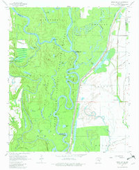
1967 Map of Indian Bay SE
USGS Topo · Published 1981About this map
White River National Wildlife Refuge dominates this delta landscape, where the shifting White River carves a complex network of chutes and bayous. In the late 1960s, the area remained a watery labyrinth defined by massive landmasses like Montgomery Island, Big Island, and Prairie Island. These islands are not surrounded by open sea, but by the winding river and its many tributaries, including Indian Bay and Big Creek. This survey records a geography where water dictates human activity and property boundaries, as seen along the county lines of Arkansas, Monroe, and Phillips.
Find a feature on this map
56 named features on this map. Tap any name to fly to it.
Don’t see what you’re looking for? This feature index may not catch every label — zoom into the map to look around manually.
Map Details
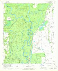
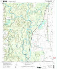
Editions of this 1967 Indian Bay SE Map
3 editions found
Other maps of this area

1930 · Mellwood
USGS Topo · 1:62,500

1939 · Modoc
USGS Topo · 1:62,500

1939 · Indian Bay
USGS Topo · 1:62,500

1939 · Henrico
USGS Topo · 1:62,500

1939 · Mellwood
USGS Topo · 1:62,500

1948 · Helena
USGS Topo · 1:250,000

1948 · Modoc
USGS Topo · 1:62,500

1950 · Helena
USGS Topo · 1:250,000

1954 · Mellwood
USGS Topo · 1:62,500

1954 · Indian Bay
USGS Topo · 1:62,500