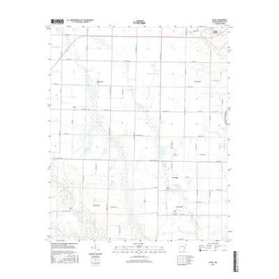
2017 Map of Ethel
USGS Topo · Published 2017About this map
Saint Charles sits at the northeastern corner of this map, overlooking a landscape defined by the drainage networks of the Arkansas delta. The area is heavily marked by water management and low-lying wetlands, featuring a dense system of bayous and reservoirs including La Grue Bayou, Caney Bayou, and Hobert Reservoir. Settlement patterns follow the higher ground along north-south corridors like State Hwy 17, where the communities of Ethel and Van are situated.
Find a feature on this map
74 named features on this map. Tap any name to fly to it.
Don’t see what you’re looking for? This feature index may not catch every label — zoom into the map to look around manually.
Map Details
Editions of this 2017 Ethel Map
This is the sole edition of this map. No revisions or reprints were ever made.
Other maps of this area
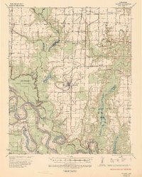
1935 · Gillett
USGS Topo · 1:62,500
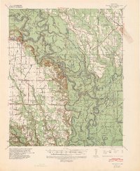
1939 · Indian Bay
USGS Topo · 1:62,500
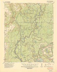
1939 · Henrico
USGS Topo · 1:62,500
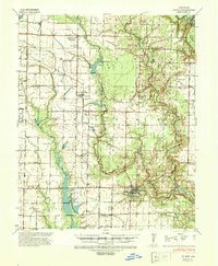
1941 · De Witt
USGS Topo · 1:62,500

1948 · Helena
USGS Topo · 1:250,000

1950 · Helena
USGS Topo · 1:250,000
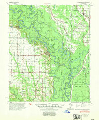
1954 · Indian Bay
USGS Topo · 1:62,500
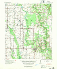
1954 · De Witt
USGS Topo · 1:62,500
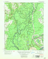
1954 · Henrico
USGS Topo · 1:62,500

1955 · Helena
USGS Topo · 1:250,000