2020s Maps of Baxter County, Arkansas
Explore 32 historic maps of Baxter County from the 2020s. These maps offer a rare glimpse into what life looked like during the 2020s — showing old roads, neighborhoods, homes, and landmarks that have changed or disappeared over time.
Whether you're researching your family's past, planning a metal detecting trip, or studying how Baxter County's landscape evolved across the 2020s, these high-resolution maps are a powerful tool for exploring the history of this region.
- Focus on a specific era: All maps on this page are from the 2020s, giving you a focused view of this time period.
- See what’s changed: Compare century-old streets, trails, and buildings to today's modern landscape using overlays and satellite layers.
- Research with precision: Use these maps for genealogy, historical research, land use analysis, or educational projects.
- View, download, or print: Maps are fully viewable online in high resolution, and can be downloaded or printed for your own records.
Start exploring Baxter County's history through authentic maps from the 2020s. This is your window into the past.
Baxter County, AR maps
(32)- 2020 Map of Norfork, 2020 Print
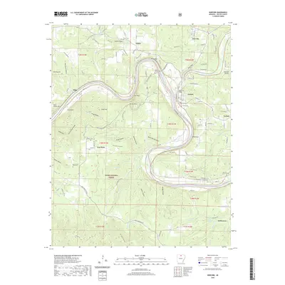 2020 Norfork2020 Print · USGSBaxter County in the modern era remains a landscape shaped by the deep bends of the White River and the rugged Ozark foothills. Researchers can locate local landmarks like the Burnt School House Cem, Lone Rock, and the historic North Fork Bridge near Norfork.
 - 2020 Map of Buffalo City, 2020 Print
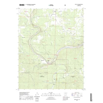 2020 Buffalo City2020 Print · USGSThe confluence of the White and Buffalo Rivers in north-central Arkansas was a vital corridor for travel and settlement in the early twenty-first century. Genealogists can trace family footprints at Nelson Cem or explore historic river sites like Old Buffalo and Buffalo City.
 - 2020 Map of Norfork Dam North, 2020 Print
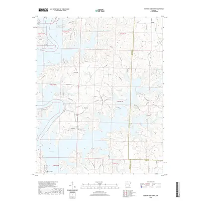 2020 Norfork Dam North2020 Print · USGSThe northern reaches of Norfork Lake appear in fine detail in this modern survey of the Baxter and Fulton County border. Genealogists and hikers can trace the shoreline to The Bluffs Airport, the settlement at Ruth, and the heights of Flint Knob.
 - 2020 Map of Calico Rock, 2020 Print
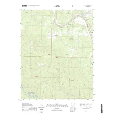 2020 Calico Rock2020 Print · USGSThe Ozark river country along the White River is documented here as it appeared in recent years, showing the intersection of three Arkansas counties. Genealogists and local historians can locate remote family landmarks such as Rorie Cem, Culp, and the river landing at Calico Rock.
 - 2020 Map of Midway, 2020 Print
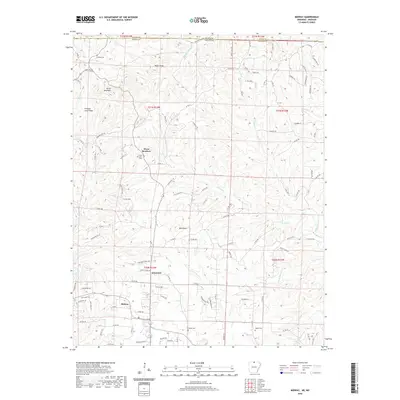 2020 Midway2020 Print · USGSBaxter County at the start of the 2020s shows a landscape of deep creek valleys and quiet rural settlements along the Missouri border. Genealogists can locate family landmarks like Conley Cemetery and Oakland Cemetery near the communities of Midway and Arkawana.
 - 2020 Map of Clarkridge, 2020 Print
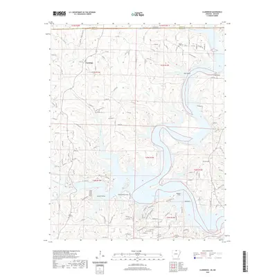 2020 Clarkridge2020 Print · USGSThe Missouri-Arkansas border region comes alive in this study of the terrain around Clarkridge and the northern reaches of Norfork Lake. Genealogists can trace family sites at Quality Ridge Cem and Maynard Cem while explorers scout the shorelines of Goodall Hollow.
 - 2020 Map of Norfork Dam South, 2020 Print
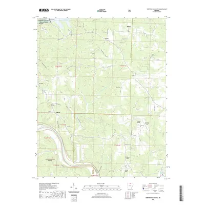 2020 Norfork Dam South2020 Print · USGSThe rugged Ozark river country along the Baxter and Izard county line is documented here in the modern era. Genealogists and local historians can trace family roots through several small burial sites, including Galatia Cem, Staggs Cem, and Talley Cem.
 - 2020 Map of Bull Shoals, 2020 Print
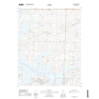 2020 Bull Shoals2020 Print · USGSThe Arkansas Ozarks meet the Missouri border in this detailed view of the winding shoreline of Bull Shoals Lake. Researchers can trace local history through family sites like Price Place Cem and settlements such as Oakland and Lakeview.
 - 2020 Map of Cotter, 2020 Print
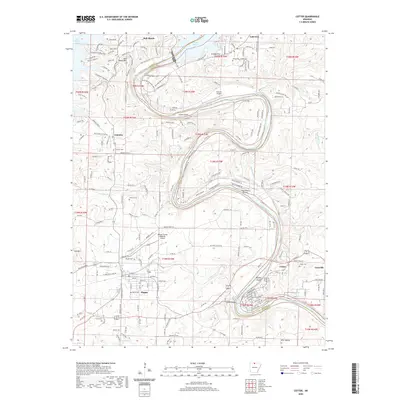 2020 Cotter2020 Print · USGSMarion and Baxter Counties at the turn of the 21st century center on the winding White River and its aviation-linked communities. Trace local history through numerous sites like Flippin Cemetery or the iconic Cotter Bridge crossing near Gassville.
 - 2020 Map of Gamaliel, 2020 Print
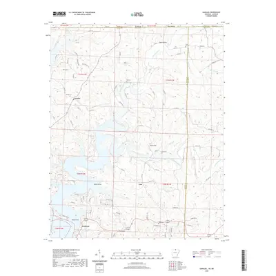 2020 Gamaliel2020 Print · USGSBaxter and Fulton Counties appear in the early twenty-first century as Norfork Lake meets the winding Bennetts Bayou. Researchers can trace family history through local landmarks like Gamaliel Cem, Custer-Herron Cem, and the high point at Turkey Knob.
 - 2020 Map of Norfork SE, 2020 Print
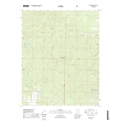 2020 Norfork SE2020 Print · USGSBaxter and Stone counties meet in this modern survey of the Ozark interior, defined by the winding course of the North Sycamore Creek Wild and Scenic River. Genealogists and hikers can trace old routes like Push Mountain Rd to the quiet Acklin Cem.
 - 2020 Map of Big Flat, 2020 Print
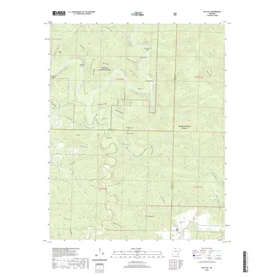 2020 Big Flat2020 Print · USGSThe rugged Ozark interior comes into focus here, showing the settlement of Big Flat on the tri-county border during the early twenty-first century. Family history researchers can locate several remote burial sites including Hepsey Cemetery and Woodcock Cemetery among the many hollows.
 - 2020 Map of Mountain Home East, 2020 Print
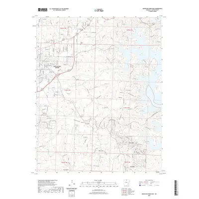 2020 Mountain Home East2020 Print · USGSMountain Home and the western reaches of Norfork Lake are shown here in the modern era as the community grows into the Ozark foothills. Genealogists can locate several historic burial sites, including Oak Grove Cem and Douglas Cem, alongside landmarks like Birdsong Mtn.
 - 2020 Map of Mountain Home West, 2020 Print
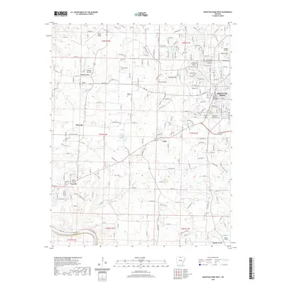 2020 Mountain Home West2020 Print · USGSMountain Home and Gassville appear at a time of continued growth in the Ozarks during the early twenty-first century. Researchers can locate family landmarks like Wesley Chapel Cem or trace the historic path of Old Military Rd near Colfax.
 - 2020 Map of Onia, 2020 Print
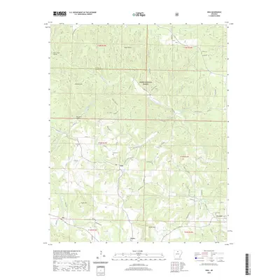 2020 Onia2020 Print · USGSStone County settlements are captured here in the early twenty-first century as they follow the ancient contours of the Ozark highlands. Genealogists and local historians can trace family locations near Purdue Cem, Farris Cem, and the communities of Onia and Alco.
 - 2020 Map of Landis, 2020 Print
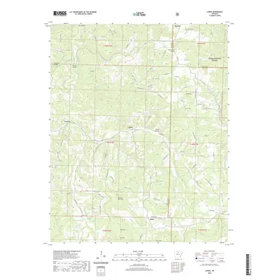 2020 Landis2020 Print · USGSThe hills of the Baxter and Stone county line appear here in recent years, centered on the rural communities of the Ozarks. Genealogists and local historians can trace burial sites at Landis Cem and Freeman Cem or locate landmarks like Buzzard Roost Mtn.
 - 2024 Map of Norfork Dam South, 2024 Print
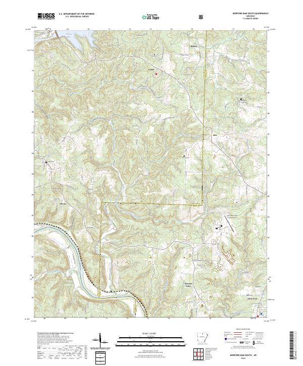 2024 Norfork Dam South2024 Print · USGSThe Ozark plateau meets the winding White River in the 2020s, revealing a landscape of deep hollows and high ridges. Researchers can locate family landmarks like Galatia Cem and Hand Cem or trace the early settlement boundaries of Iuka and Old Joe.
 - 2024 Map of Norfork SE, 2024 Print
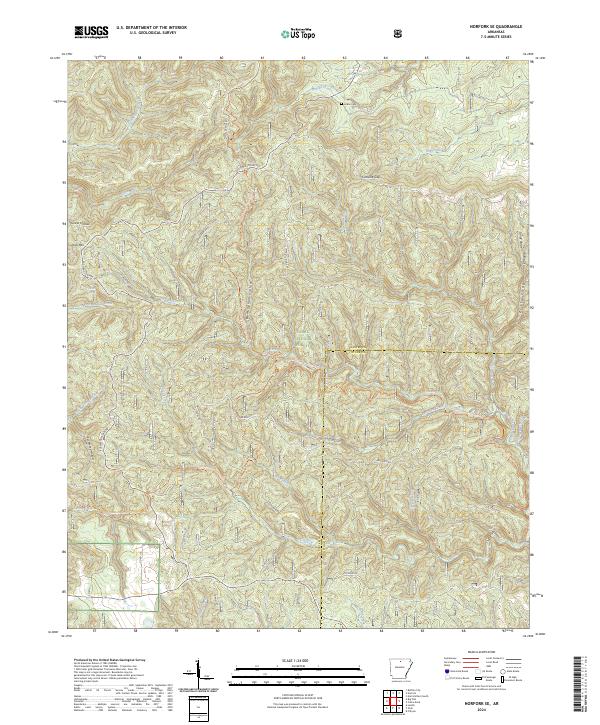 2024 Norfork SE2024 Print · USGSBaxter and Stone counties are shown here in the 2020s, dominated by the protected woodlands and waterways of the Ozark Plateau. Researchers can trace land use near Acklin Cem or map the deep drainages of Birmingham Hollow and Cap Fork.
 - 2024 Map of Mountain Home West, 2024 Print
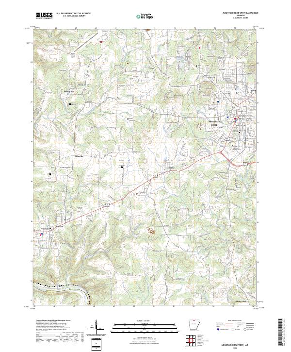 2024 Mountain Home West2024 Print · USGSBaxter County at the present day shows a blend of growing civic centers and quiet rural highlands. Researchers can trace the layout of MOUNTAIN HOME alongside older local landmarks like Monkey Run, Colfax, and the historic Old Military Rd.
 - 2024 Map of Midway, 2024 Print
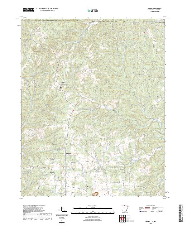 2024 Midway2024 Print · USGSMidway and the surrounding Baxter County uplands are captured here in the early twenty-first century, just north of the reaches of Bull Shoals Lake. Researchers can trace old family sites and rural settlements through landmarks like Three Brothers Cem, Arkawana, and the prominent Promise Land Ridge.
 - 2024 Map of Norfork Dam North, 2024 Print
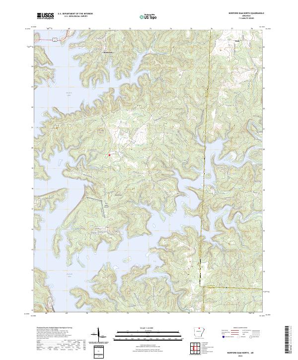 2024 Norfork Dam North2024 Print · USGSThe North Fork River valley is seen here in the modern era, where the winding shoreline of Norfork Lake defines the rural landscape. Researchers can locate the Norfork National Fish Hatchery, trace the old roads around Henderson, and explore the high ground of Wolf Knob.
 - 2024 Map of Calico Rock, 2024 Print
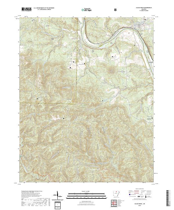 2024 Calico Rock2024 Print · USGSThe White River valley near the Stone and Izard county line is documented here in the early twenty-first century. Genealogists can trace family burial sites at Old Optimus Cem and Roselawn Cem or locate the riverside bluffs near Culp and Optimus.
 - 2024 Map of Buffalo City, 2024 Print
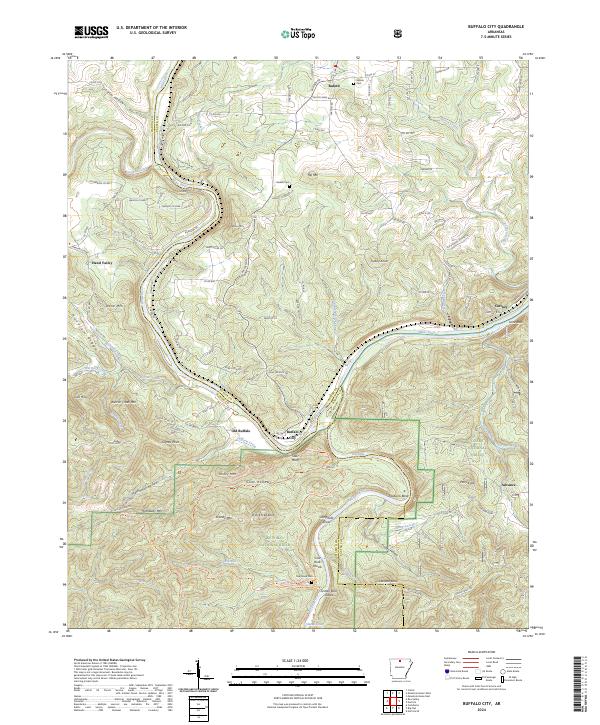 2024 Buffalo City2024 Print · USGSThe confluence of the White and Buffalo Rivers dominates this modern view of northern Arkansas. Genealogists and hikers can trace the winding riverbanks from Old Buffalo to Cartney, locating sites like Nelson Cemetery and the shoals at Cow Rock Shoals.
 - 2024 Map of Clarkridge, 2024 Print
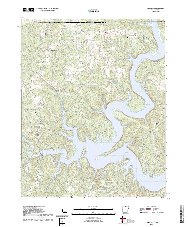 2024 Clarkridge2024 Print · USGSThe Missouri-Arkansas border region is captured here as it appears today, centered on the wooded ridges and complex lakefront of Baxter and Ozark counties. Genealogists and local researchers can trace the vicinity of Clarkridge and locate family burial sites at Thacker Cem or Maynard Cem.
 - 2024 Map of Onia, 2024 Print
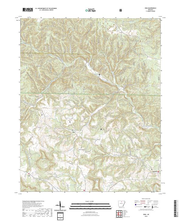 2024 Onia2024 Print · USGSThe Arkansas Ozarks south of the Baxter County line appear here in recent detail, showing a landscape defined by forest and family history. Researchers can trace ancestral locations at Purdue Cem, Onia, and the waters near Big Spring.
Showing maps 1-25 of 32
Top cities of Baxter County
- Mountain Home historical maps
- Gassville historical maps
- Cotter historical maps
- Lakeview historical maps
- Norfork historical maps
- Salesville historical maps
See more
Frequently asked questions
- What are the different types of historical maps available for Baxter County?
- What is the oldest map of Baxter County?
- Where can I purchase historical maps of Baxter County for my home or office?
- Where can I download high-res historical maps of Baxter County?
- Are there historical topographic maps available for Baxter County?
- Is there historical aerial imagery available for Baxter County?
- Where are historical maps of Baxter County sourced from?