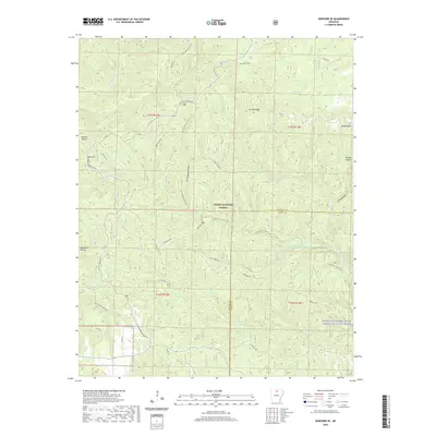
2020 Map of Norfork SE
USGS Topo · Published 2020About this map
The Ozark National Forest dominates this section of the Ozarks where Baxter and Stone counties meet. The landscape is defined by a dense network of waterways and hollows, including the drainage basins of Leatherwood Cr and Stewart Fork. A significant highlight is the North Sycamore Creek Wild and Scenic River, which provides a corridor for local geography and history.
Find a feature on this map
46 named features on this map. Tap any name to fly to it.
Don’t see what you’re looking for? This feature index may not catch every label — zoom into the map to look around manually.
Map Details
Editions of this 2020 Norfork SE Map
This is the sole edition of this map. No revisions or reprints were ever made.
Other maps of this area

1890 · Mountain Home
USGS Topo · 1:125,000

1891 · Mountain Home
USGS Topo · 1:125,000

1892 · Mountain View
USGS Topo · 1:125,000

1894 · Mountain View
USGS Topo · 1:125,000

1894 · Mountain Home
USGS Topo · 1:125,000

1945 · Harrison
USGS Topo · 1:250,000

1949 · Harrison
USGS Topo · 1:250,000

1954 · Harrison
USGS Topo · 1:250,000

1956 · Russellville
USGS Topo · 1:250,000

1958 · Harrison
USGS Topo · 1:250,000