2000s (21st Century) Maps of Baxter County, Arkansas
Explore 80 historic maps of Baxter County from the 2000s (21st Century). These maps offer a rare glimpse into what life looked like during the 2000s — showing old roads, neighborhoods, homes, and landmarks that have changed or disappeared over time.
Whether you're researching your family's past, planning a metal detecting trip, or studying how Baxter County's landscape evolved across the 2000s, these high-resolution maps are a powerful tool for exploring the history of this region.
- Focus on a specific era: All maps on this page are from the 2000s, giving you a focused view of this time period.
- See what’s changed: Compare century-old streets, trails, and buildings to today's modern landscape using overlays and satellite layers.
- Research with precision: Use these maps for genealogy, historical research, land use analysis, or educational projects.
- View, download, or print: Maps are fully viewable online in high resolution, and can be downloaded or printed for your own records.
Start exploring Baxter County's history through authentic maps from the 2000s. This is your window into the past.
Baxter County, AR maps
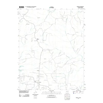
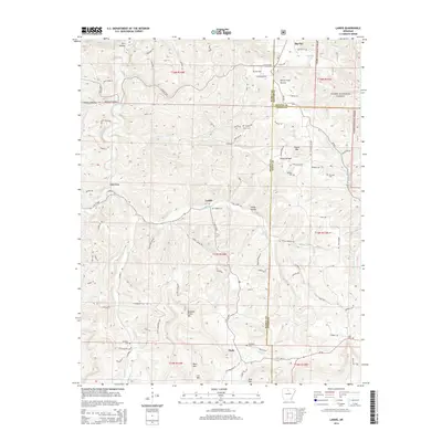
(80)- 2011 Map of Onia, 2011 Print
 2011 Onia2011 Print · USGSCovers Baxter County, including Alco, Onia, and other nearby areas
 - 2011 Map of Landis, 2011 Print
 2011 Landis2011 Print · USGSCovers Baxter County, including Big Flat, Fairview, and other nearby areas
 - 2011 Map of Norfork SE, 2011 Print
 2011 Norfork SE2011 Print · USGSCovers Baxter County, including Stone County, United States, and other nearby areas
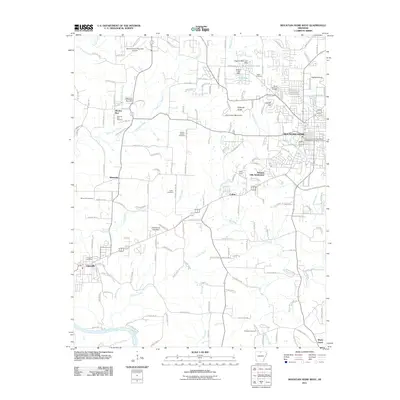
 - 2011 Map of Mountain Home East, 2011 Print
 2011 Mountain Home East2011 Print · USGSCovers Baxter County, including Mountain Home, Salesville, and other nearby areas
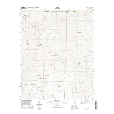
 - 2011 Map of Midway, 2011 Print
 2011 Midway2011 Print · USGSCovers Baxter County, including Arkawana, Midway, and other nearby areas
 - 2011 Map of Norfork, 2011 Print
 2011 Norfork2011 Print · USGSCovers Baxter County, including Norfork, Salesville, and other nearby areas
 - 2011 Map of Mountain Home West, 2011 Print
 2011 Mountain Home West2011 Print · USGSCovers Baxter County, including Mountain Home, Gassville, and other nearby areas
 - 2011 Map of Calico Rock, 2011 Print
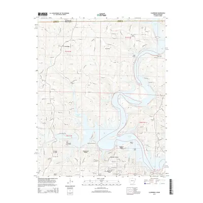
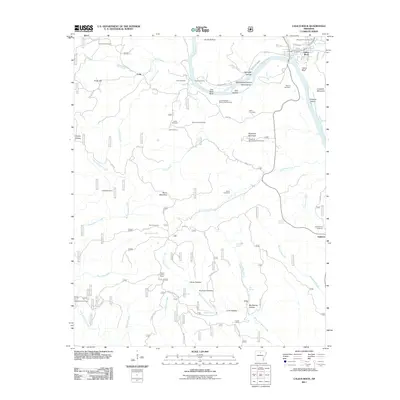 2011 Calico Rock2011 Print · USGSCovers Baxter County, including Calico Rock, Optimus, and other nearby areas
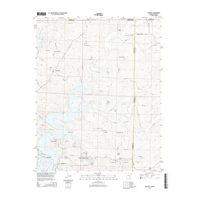
 - 2011 Map of Norfork Dam North, 2011 Print
 2011 Norfork Dam North2011 Print · USGSCovers Baxter County, including Diamond Bay, Sycamore Spring, and other nearby areas
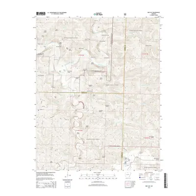
 - 2011 Map of Big Flat, 2011 Print
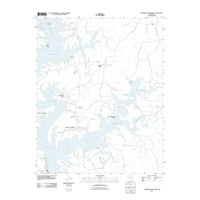
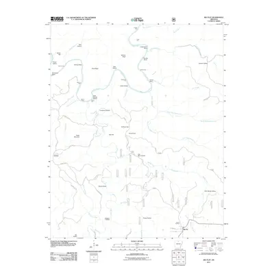 2011 Big Flat2011 Print · USGSCovers Baxter County, including Big Flat, Marion County, and other nearby areas
 - 2011 Map of Norfork Dam South, 2011 Print
 2011 Norfork Dam South2011 Print · USGSCovers Baxter County, including Calico Rock, Norfork, and other nearby areas
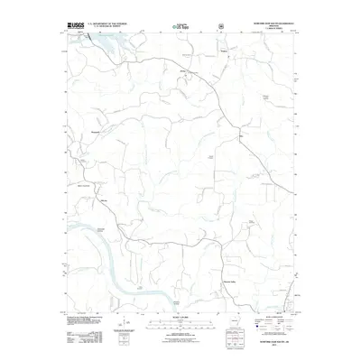
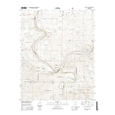
 - 2011 Map of Buffalo City, 2011 Print
 2011 Buffalo City2011 Print · USGSCovers Baxter County, including Old Buffalo, Hand Valley, and other nearby areas
 - 2011 Map of Bull Shoals, 2011 Print
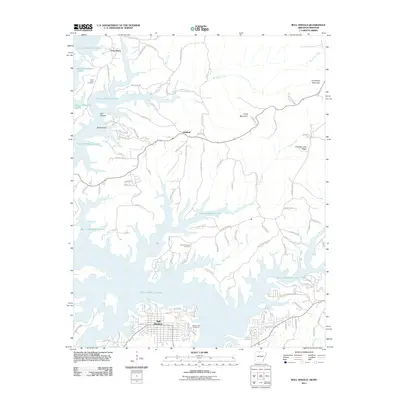 2011 Bull Shoals2011 Print · USGSCovers Baxter County, including Bull Shoals, Lakeview, and other nearby areas
 - 2011 Map of Clarkridge, 2011 Print
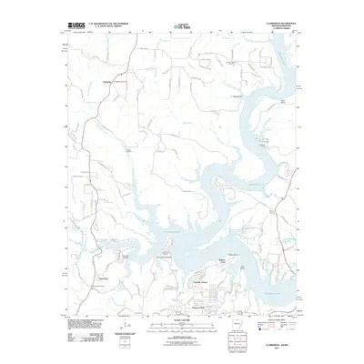 2011 Clarkridge2011 Print · USGSCovers Baxter County, including Dogwood Park, Fawn Park, and other nearby areas
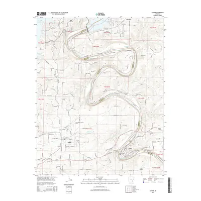
 - 2011 Map of Cotter, 2011 Print
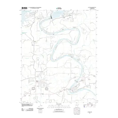 2011 Cotter2011 Print · USGSCovers Baxter County, including Bull Shoals, Gassville, and other nearby areas
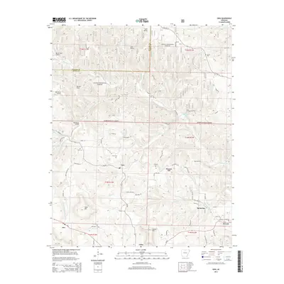
 - 2011 Map of Gamaliel, 2011 Print
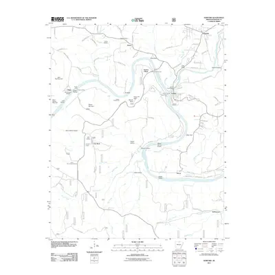
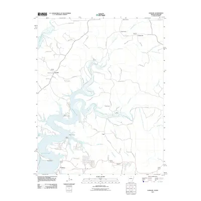 2011 Gamaliel2011 Print · USGSCovers Baxter County, including County Line, Cumi, and other nearby areas
 - 2014 Map of Landis, 2014 Print
 2014 Landis2014 Print · USGSCovers Baxter County, including Big Flat, Fairview, and other nearby areas
 - 2014 Map of Onia, 2014 Print
 2014 Onia2014 Print · USGSCovers Baxter County, including Alco, Onia, and other nearby areas
 - 2014 Map of Midway, 2014 Print
 2014 Midway2014 Print · USGSCovers Baxter County, including Arkawana, Midway, and other nearby areas
 - 2014 Map of Gamaliel, 2014 Print
 2014 Gamaliel2014 Print · USGSCovers Baxter County, including County Line, Cumi, and other nearby areas
 - 2014 Map of Clarkridge, 2014 Print
 2014 Clarkridge2014 Print · USGSCovers Baxter County, including Dogwood Park, Fawn Park, and other nearby areas
 - 2014 Map of Big Flat, 2014 Print
 2014 Big Flat2014 Print · USGSCovers Baxter County, including Big Flat, Marion County, and other nearby areas
 - 2014 Map of Buffalo City, 2014 Print
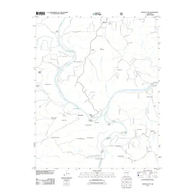
 2014 Buffalo City2014 Print · USGSCovers Baxter County, including Old Buffalo, Hand Valley, and other nearby areas
 - 2014 Map of Cotter, 2014 Print
 2014 Cotter2014 Print · USGSCovers Baxter County, including Bull Shoals, Gassville, and other nearby areas
 - 2014 Map of Calico Rock, 2014 Print
 2014 Calico Rock2014 Print · USGSCovers Baxter County, including Calico Rock, Optimus, and other nearby areas
Showing maps 1-25 of 80
Top cities of Baxter County
- Mountain Home historical maps
- Gassville historical maps
- Cotter historical maps
- Lakeview historical maps
- Norfork historical maps
- Salesville historical maps
See more
Frequently asked questions
- What are the different types of historical maps available for Baxter County?
- What is the oldest map of Baxter County?
- Where can I purchase historical maps of Baxter County for my home or office?
- Where can I download high-res historical maps of Baxter County?
- Are there historical topographic maps available for Baxter County?
- Is there historical aerial imagery available for Baxter County?
- Where are historical maps of Baxter County sourced from?