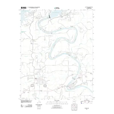
2011 Map of Cotter
USGS Topo · Published 2011About this map
The White River carves a winding path through this Marion County landscape, anchored by the massive Bull Shoals Dam and the waters of Bull Shoals Lake. The topography is defined by sharp river bends that isolate landforms like Cane Island and Bayless Island, creating a unique riparian environment. The transportation network reflects the river's influence, with established crossing points such as Dews Ford and numerous landings, including Mooneys Landing and McBee Landing, which serve as vital access points for river traffic and recreation.
Find a feature on this map
118 named features on this map. Tap any name to fly to it.
Don’t see what you’re looking for? This feature index may not catch every label — zoom into the map to look around manually.
Map Details
Editions of this 2011 Cotter Map
This is the sole edition of this map. No revisions or reprints were ever made.
Other maps of this area

1890 · Mountain Home
USGS Topo · 1:125,000

1891 · Mountain Home
USGS Topo · 1:125,000

1893 · Yellville
USGS Topo · 1:125,000

1894 · Mountain Home
USGS Topo · 1:125,000

1903 · Yellville
USGS Topo · 1:125,000

1905 · Yellville
USGS Topo · 1:125,000

1929 · Yellville
USGS Topo · 1:125,000

1945 · Harrison
USGS Topo · 1:250,000

1949 · Harrison
USGS Topo · 1:250,000

1954 · Harrison
USGS Topo · 1:250,000