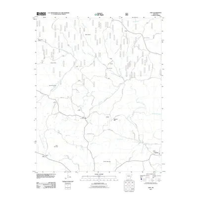
2011 Map of Onia
USGS Topo · Published 2011About this map
Onia and Alco serve as the primary hubs in this corner of the Ozarks, each supporting a local post office to anchor its respective community. The landscape is defined by a dense network of hollows and ridges, with Roasting Ear Creek and Mill Creek carving through the terrain. The distribution of small family burial grounds, including Purdue Cemetery, Smithee Cemetery, and Stevens Cemetery, reflects a long-standing pattern of rural settlement where families remained closely tied to their land over generations.
Find a feature on this map
64 named features on this map. Tap any name to fly to it.
Don’t see what you’re looking for? This feature index may not catch every label — zoom into the map to look around manually.
Map Details
Editions of this 2011 Onia Map
This is the sole edition of this map. No revisions or reprints were ever made.
Other maps of this area

1890 · Mountain Home
USGS Topo · 1:125,000

1891 · Mountain Home
USGS Topo · 1:125,000

1892 · Mountain View
USGS Topo · 1:125,000

1894 · Mountain View
USGS Topo · 1:125,000

1894 · Mountain Home
USGS Topo · 1:125,000

1945 · Harrison
USGS Topo · 1:250,000

1949 · Harrison
USGS Topo · 1:250,000

1954 · Harrison
USGS Topo · 1:250,000

1956 · Russellville
USGS Topo · 1:250,000

1958 · Harrison
USGS Topo · 1:250,000