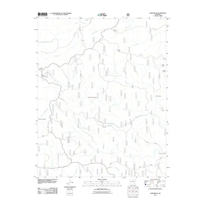
2011 Map of Norfork SE
USGS Topo · Published 2011About this map
Acklin Cemetery and the Push Mountain Lookout Tower define the high ridges and deep drainage basins of this Baxter County landscape. The area is dominated by the intricate branching of Cole Fork, Cap Fork, and Stewart Fork, which carve through the Ozark terrain into named depressions like Birmingham Hollow and Sycamore Hollow.
Find a feature on this map
38 named features on this map. Tap any name to fly to it.
Don’t see what you’re looking for? This feature index may not catch every label — zoom into the map to look around manually.
Map Details
Editions of this 2011 Norfork SE Map
This is the sole edition of this map. No revisions or reprints were ever made.
Other maps of this area

1890 · Mountain Home
USGS Topo · 1:125,000

1891 · Mountain Home
USGS Topo · 1:125,000

1892 · Mountain View
USGS Topo · 1:125,000

1894 · Mountain View
USGS Topo · 1:125,000

1894 · Mountain Home
USGS Topo · 1:125,000

1945 · Harrison
USGS Topo · 1:250,000

1949 · Harrison
USGS Topo · 1:250,000

1954 · Harrison
USGS Topo · 1:250,000

1956 · Russellville
USGS Topo · 1:250,000

1958 · Harrison
USGS Topo · 1:250,000