2010s Maps of Benton County, Arkansas
Explore 70 historic maps of Benton County from the 2010s. These maps offer a rare glimpse into what life looked like during the 2010s — showing old roads, neighborhoods, homes, and landmarks that have changed or disappeared over time.
Whether you're researching your family's past, planning a metal detecting trip, or studying how Benton County's landscape evolved across the 2010s, these high-resolution maps are a powerful tool for exploring the history of this region.
- Focus on a specific era: All maps on this page are from the 2010s, giving you a focused view of this time period.
- See what’s changed: Compare century-old streets, trails, and buildings to today's modern landscape using overlays and satellite layers.
- Research with precision: Use these maps for genealogy, historical research, land use analysis, or educational projects.
- View, download, or print: Maps are fully viewable online in high resolution, and can be downloaded or printed for your own records.
Start exploring Benton County's history through authentic maps from the 2010s. This is your window into the past.
Benton County, AR maps
(70)- 2011 Map of Sonora, 2011 Print
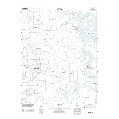 2011 Sonora2011 Print · USGSThe eastern edges of Springdale and the White River valley meet in this early 21st-century survey of Northwest Arkansas. Researchers can trace family history through several local burial grounds like Phillips and Davis Cemetery, or locate old landmarks like Mountain Home School.
 - 2011 Map of Bentonville South, 2011 Print
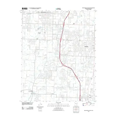 2011 Bentonville South2011 Print · USGSBentonville and Rogers are shown during a period of rapid suburban expansion in the early twenty-first century. Researchers can trace local history through numerous burial sites like Bland Cemetery and landmarks such as the Bentonville Municipal Airport.
 - 2011 Map of Gallatin, 2011 Print
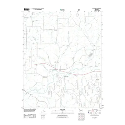 2011 Gallatin2011 Print · USGSBenton County’s rural landscape is preserved here during the early twenty-first century, showing the transition from open prairie to river valleys. Researchers can locate many ancestral sites, from Fairmount Community Hall to the Fisher Ford Bridge and Logan Cemetery.
 - 2011 Map of Springdale, 2011 Print
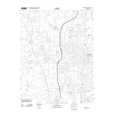 2011 Springdale2011 Print · USGSNorthwest Arkansas experiences rapid growth in this early 21st-century record of the Springfield Plateau. Researchers can trace family history through numerous local burial sites like Goad Springs Cemetery and Spring Creek Cemetery, or locate landmarks such as the Springdale Post Office.
 - 2011 Map of Rogers, 2011 Print
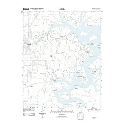 2011 Rogers2011 Print · USGSBenton County experiences rapid growth at the turn of the decade as the city of ROGERS expands toward the intricate shorelines of Beaver Lake. Researchers can trace local history through family burial grounds like McReynolds Cemetery or explore the resort heritage of Monte Ne.
 - 2011 Map of Centerton, 2011 Print
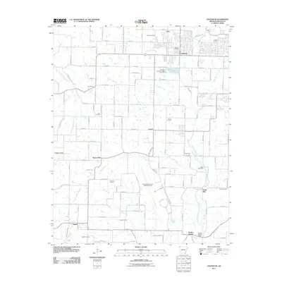 2011 Centerton2011 Print · USGSBenton County undergoes a modern transformation in the early 2010s while holding onto its deep rural heritage. Genealogists and local historians can trace family roots at Coffelt Cemetery or explore the historic industrial sites of Osage Mills and Healing Springs.
 - 2011 Map of Gentry, 2011 Print
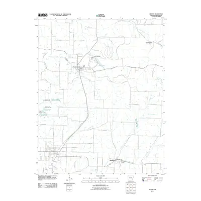 2011 Gentry2011 Print · USGSBenton County at the start of the 2010s shows a landscape of established poultry-country towns and upland creeks. Researchers can trace family history at Decatur Cemetery or locate old community hubs like the Springtown Post Office and Crystal Lake Airport.
 - 2011 Map of Watts, 2011 Print
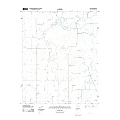 2011 Watts2011 Print · USGSThe Oklahoma-Arkansas borderlands come into focus here as they appeared in the early 2000s, centered on the river-cut landscape between Watts and Cincinnati. You can trace old river crossings and family burial grounds like Goforth Ford, Sixkiller Cemetery, and Spring Harbor Landing.
 - 2011 Map of Cherokee City, 2011 Print
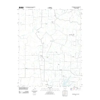 2011 Cherokee City2011 Print · USGSBenton County and the Oklahoma borderlands are captured here in the early 2000s, showing a landscape of upland prairies and deep hollows. Trace local family history at Cherokee City Cemetery and Bloomfield Cemetery, or locate the historic crossing at Keiths Ford.
 - 2011 Map of Siloam Springs, 2011 Print
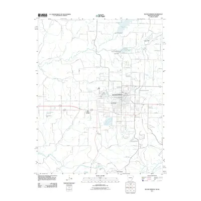 2011 Siloam Springs2011 Print · USGSSiloam Springs and its borderlands with Oklahoma are captured here in the early twenty-first century, showing the established town site and academic landscape. Family historians can trace local roots through the Oak Hill Cemetery, Bell Cemetery, and the historic grounds of John Brown University.
 - 2011 Map of Rhea, 2011 Print
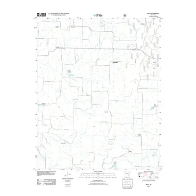 2011 Rhea2011 Print · USGSWashington County at the start of the 2010s shows a landscape of upland prairies and mountain gaps. Genealogists can trace family footprints through sites like Beatty Cemetery and Norwood Cemetery or explore the settlements of Weddington and Trident.
 - 2011 Map of Robinson, 2011 Print
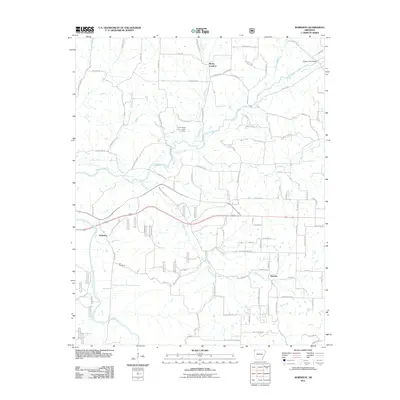 2011 Robinson2011 Print · USGSNorthwest Arkansas at the turn of the decade shows a landscape of growing rural communities and branching waterways. Researchers can trace family roots at Yell Cemetery or explore the early 2000s layout of Robinson, Harmon, and Rocky Comfort.
 - 2011 Map of Pea Ridge, 2011 Print
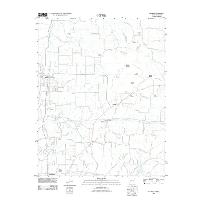 2011 Pea Ridge2011 Print · USGSPea Ridge and the northern Arkansas highlands are captured here in the early twenty-first century. Researchers can trace family history through a wealth of landmarks like Elkhorn Tavern, Twelve Corners Cemetery, and the Pea Ridge Battlefield.
 - 2011 Map of Bentonville North, 2011 Print
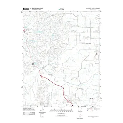 2011 Bentonville North2011 Print · USGSBentonville and Bella Vista were evolving into a region of master-planned communities and recreational lakes in the early 2000s. Genealogists and local historians can trace rural roots at Dug Hill Cemetery, Blackjack Corner, and the Shady Grove Community Hall.
 - 2011 Map of Hiwasse, 2011 Print
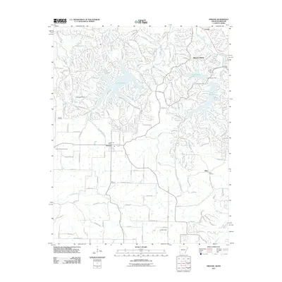 2011 Hiwasse2011 Print · USGSBenton County undergoes a significant transformation into a residential and recreational hub by 2011. Genealogists and local historians can locate family burial sites at Keith Cemetery and Miller Cemetery or trace the early settlement of Hiwasse.
 - 2011 Map of Gravette, 2011 Print
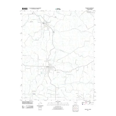 2011 Gravette2011 Print · USGSBenton County and the Arkansas-Missouri border appear in this contemporary survey of the Ozark highlands. Researchers can trace local lineage through numerous sites like Hillcrest Cemetery, Sulphur Springs, and the rural community of Nebo.
 - 2011 Map of Colcord NE, 2011 Print
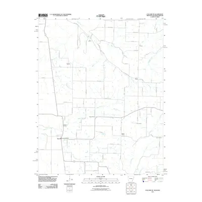 2011 Colcord NE2011 Print · USGSBenton County at the start of the 2010s reveals a structured agricultural landscape defined by the borders of Arkansas and Oklahoma. Researchers can trace family history through numerous rural sites like Wann Cemetery, Beatie Prairie, and the Maysville Post Office.
 - 2011 Map of Sandstone Mountain, 2011 Print
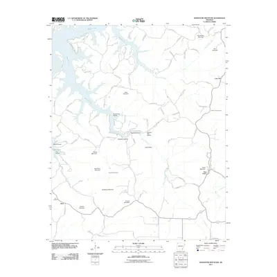 2011 Sandstone Mountain2011 Print · USGSCarroll County's high ridges and deep hollows are shown in this 2011 survey, where the waters of Beaver Lake meet the steep terrain. Genealogists can locate family sites at Pemberton Cemetery or Rambo Cemetery and trace the old roads through West Liberty.
 - 2011 Map of Spring Valley, 2011 Print
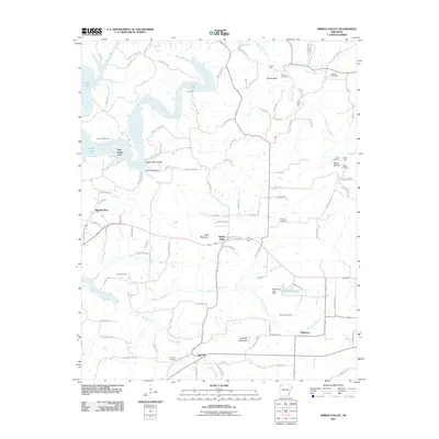 2011 Spring Valley2011 Print · USGSThe rural highlands of Washington County are captured here just after the first decade of the new millennium. Researchers can trace family history through numerous landmarks including Spring Valley, Johnson Cemetery, and the river crossings at Cook Ford.
 - 2011 Map of Hindsville, 2011 Print
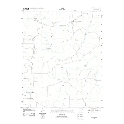 2011 Hindsville2011 Print · USGSMadison County at the start of the 2010s shows a landscape of deep hollows and rural creek crossings. Genealogists can locate family burial sites like Bohannan Cemetery and Scissom Cemetery or trace old routes near Parker Ford.
 - 2011 Map of War Eagle, 2011 Print
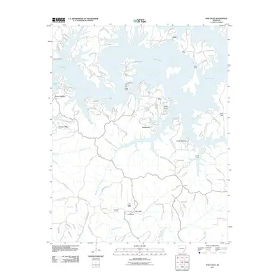 2011 War Eagle2011 Print · USGSBenton County is shown at a time of lakeside growth and rural preservation in the early twenty-first century. Researchers can trace historic family burial sites like Martin Cemetery or find local landmarks including the War Eagle Bridge and Larue Post Office.
 - 2012 Map of Beaver, 2012 Print
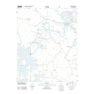 2012 Beaver2012 Print · USGSThe White River valley at the Arkansas-Missouri border is shown here as a landscape shaped by massive water projects and Ozark topography. Researchers can trace local genealogy and landmarks through Walden Cemetery, the Busch Post Office, and the historic Beaver Bridge.
 - 2012 Map of Garfield, 2012 Print
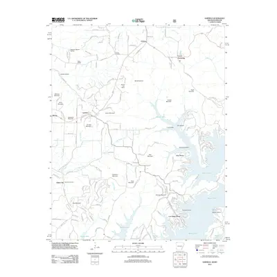 2012 Garfield2012 Print · USGSBenton County, Arkansas, is captured here in the early twenty-first century, showcasing the deep integration of residential life with the waters of Beaver Lake. Researchers can locate family heritage sites like Clantonville Cemetery and trace the geography of the highlands from Devils Eye Brow to Walnut Hill.
 - 2012 Map of Watts, 2012 Print
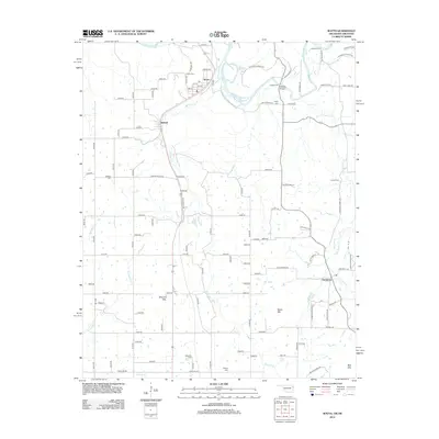 2012 Watts2012 Print · USGSThe Oklahoma-Arkansas borderlands are detailed here in the early twenty-first century, showing a landscape defined by the Illinois River and its many tributaries. Researchers can locate several family cemeteries and river crossings like Fishers Ford, Watts Cem, and Goforth Bridge.
 - 2014 Map of Springdale, 2014 Print
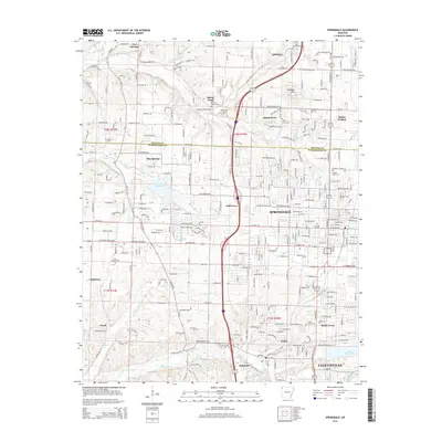 2014 Springdale2014 Print · USGSNorthwest Arkansas was undergoing significant suburban growth during this era, bridging the gap between Springdale and Fayetteville. Genealogists and local historians can trace family plots at Silent Grove Cem and Shady Grove Cem or locate the site of Ecclesia College.
Showing maps 1-25 of 70
Top cities of Benton County
- Rogers historical maps
- Bentonville historical maps
- Bella Vista historical maps
- Centerton historical maps
- Siloam Springs historical maps
- Lowell historical maps
See more
Frequently asked questions
- What are the different types of historical maps available for Benton County?
- What is the oldest map of Benton County?
- Where can I purchase historical maps of Benton County for my home or office?
- Where can I download high-res historical maps of Benton County?
- Are there historical topographic maps available for Benton County?
- Is there historical aerial imagery available for Benton County?
- Where are historical maps of Benton County sourced from?