2000s (21st Century) Maps of Chicot County, Arkansas
Explore 100 historic maps of Chicot County from the 2000s (21st Century). These maps offer a rare glimpse into what life looked like during the 2000s — showing old roads, neighborhoods, homes, and landmarks that have changed or disappeared over time.
Whether you're researching your family's past, planning a metal detecting trip, or studying how Chicot County's landscape evolved across the 2000s, these high-resolution maps are a powerful tool for exploring the history of this region.
- Focus on a specific era: All maps on this page are from the 2000s, giving you a focused view of this time period.
- See what’s changed: Compare century-old streets, trails, and buildings to today's modern landscape using overlays and satellite layers.
- Research with precision: Use these maps for genealogy, historical research, land use analysis, or educational projects.
- View, download, or print: Maps are fully viewable online in high resolution, and can be downloaded or printed for your own records.
Start exploring Chicot County's history through authentic maps from the 2000s. This is your window into the past.
Chicot County, AR maps
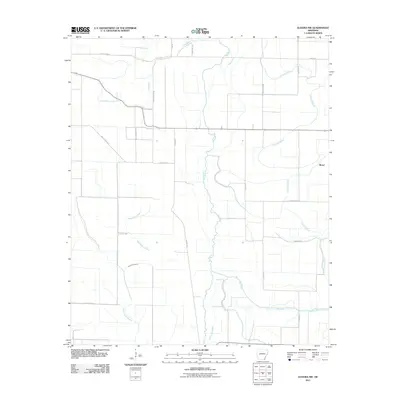
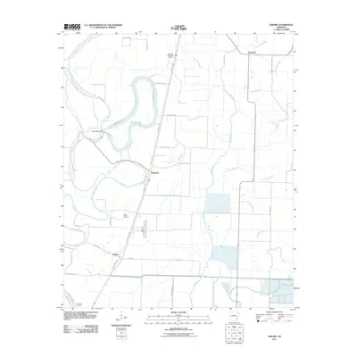
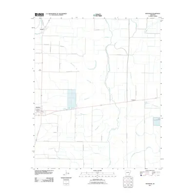
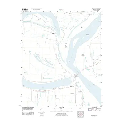
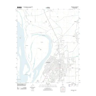
(100)- 2011 Map of Luna, 2011 Print
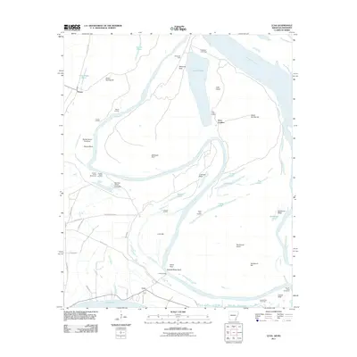 2011 Luna2011 Print · USGSCovers Chicot County, including Point Comfort, Dewey, and other nearby areas
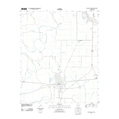
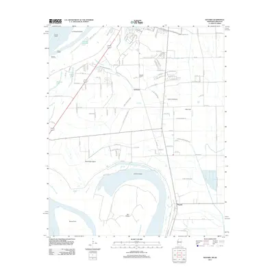
 - 2011 Map of Halley, 2011 Print
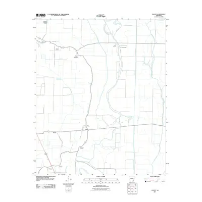 2011 Halley2011 Print · USGSCovers Chicot County, including McGehee, Bellaire, and other nearby areas
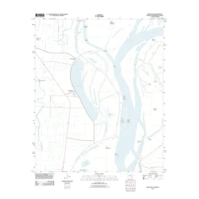
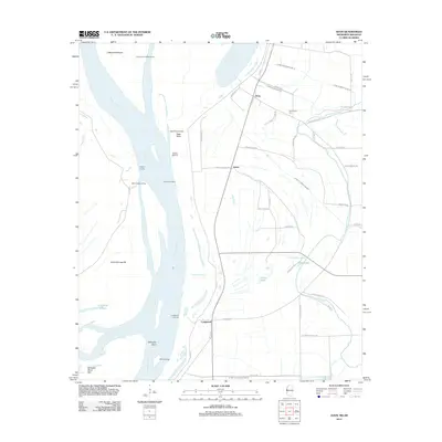
 - 2011 Map of Eminence, 2011 Print
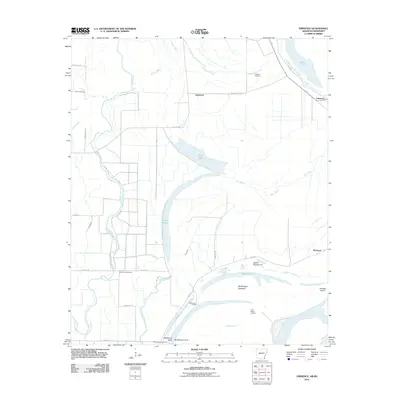 2011 Eminence2011 Print · USGSCovers Chicot County, including Lakeport, Eminence, and other nearby areas
 - 2011 Map of Eudora North, 2011 Print
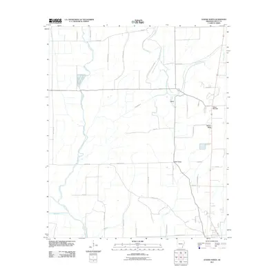 2011 Eudora North2011 Print · USGSCovers Chicot County, including Eudora, Chicot, and other nearby areas
 - 2011 Map of Eudora NW, 2011 Print
 2011 Eudora NW2011 Print · USGSCovers Chicot County, including Portland, Boeuf, and other nearby areas
 - 2011 Map of Greenville, 2011 Print
 2011 Greenville2011 Print · USGSCovers Chicot County, including Greenville, Metcalfe, and other nearby areas
 - 2011 Map of Eudora South, 2011 Print
 2011 Eudora South2011 Print · USGSCovers Chicot County, including Eudora, Kilbourne, and other nearby areas
 - 2011 Map of Macon Lake, 2011 Print
 2011 Macon Lake2011 Print · USGSCovers Chicot County, including Yellow Bayou, Elmwood, and other nearby areas
 - 2011 Map of Jerome, 2011 Print
 2011 Jerome2011 Print · USGSCovers Chicot County, including Jerome, Deep Elm, and other nearby areas
 - 2011 Map of McGehee South, 2011 Print
 2011 McGehee South2011 Print · USGSCovers Chicot County, including McGehee, Dermott, and other nearby areas
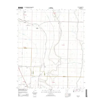
 - 2011 Map of Readland, 2011 Print
 2011 Readland2011 Print · USGSCovers Chicot County, including Grand Lake, Readland, and other nearby areas
 - 2011 Map of Avon, 2011 Print
 2011 Avon2011 Print · USGSCovers Chicot County, including Avon, Longwood, and other nearby areas
 - 2011 Map of Montrose, 2011 Print
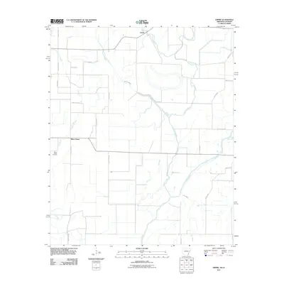
 2011 Montrose2011 Print · USGSCovers Chicot County, including Montrose, Cosgrove, and other nearby areas
 - 2011 Map of Empire, 2011 Print
 2011 Empire2011 Print · USGSCovers Chicot County, including Millers Chapel, Empire, and other nearby areas
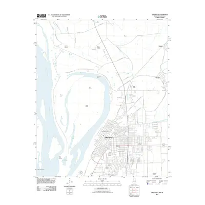
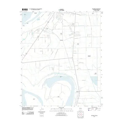
 - 2011 Map of Lake Village, 2011 Print
 2011 Lake Village2011 Print · USGSCovers Chicot County, including Lake Village, Fairview, and other nearby areas
 - 2011 Map of Wayside, 2011 Print
 2011 Wayside2011 Print · USGSCovers Chicot County, including Greenville, Wayside, and other nearby areas
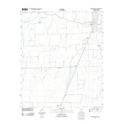
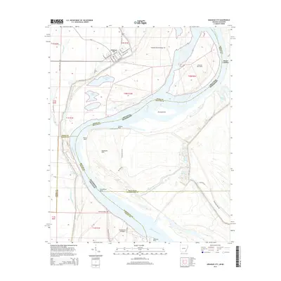
 - 2011 Map of Arkansas City, 2011 Print
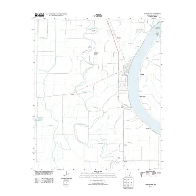
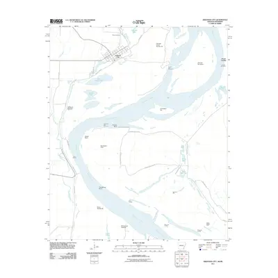 2011 Arkansas City2011 Print · USGSCovers Chicot County, including Arkansas City, Mound Landing, and other nearby areas
 - 2011 Map of Glen Allan, 2011 Print
 2011 Glen Allan2011 Print · USGSCovers Chicot County, including Chatham, Valewood, and other nearby areas
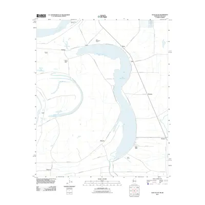
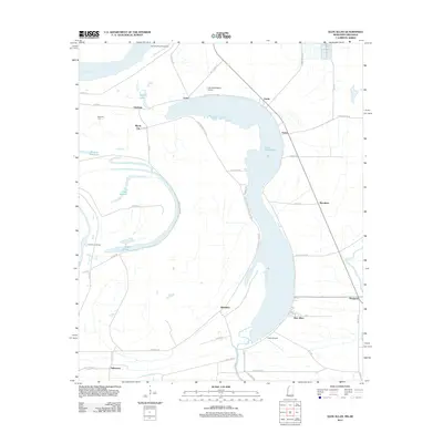
 - 2011 Map of Red Leaf, 2011 Print
 2011 Red Leaf2011 Print · USGSCovers Chicot County, including Greenville, Shives, and other nearby areas
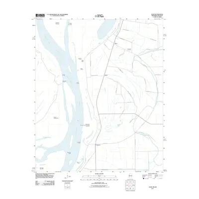
 - 2012 Map of Glen Allan, 2012 Print
 2012 Glen Allan2012 Print · USGSCovers Chicot County, including Chatham, Valewood, and other nearby areas
 - 2012 Map of Greenville, 2012 Print
 2012 Greenville2012 Print · USGSCovers Chicot County, including Greenville, Metcalfe, and other nearby areas
 - 2012 Map of Wayside, 2012 Print
 2012 Wayside2012 Print · USGSCovers Chicot County, including Greenville, Wayside, and other nearby areas
 - 2012 Map of Avon, 2012 Print
 2012 Avon2012 Print · USGSCovers Chicot County, including Avon, Longwood, and other nearby areas
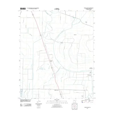
 - 2014 Map of Halley, 2014 Print
 2014 Halley2014 Print · USGSCovers Chicot County, including McGehee, Bellaire, and other nearby areas
 - 2014 Map of Arkansas City, 2014 Print
 2014 Arkansas City2014 Print · USGSCovers Chicot County, including Arkansas City, Mound Landing, and other nearby areas
Showing maps 1-25 of 100
Top cities of Chicot County
Frequently asked questions
- What are the different types of historical maps available for Chicot County?
- What is the oldest map of Chicot County?
- Where can I purchase historical maps of Chicot County for my home or office?
- Where can I download high-res historical maps of Chicot County?
- Are there historical topographic maps available for Chicot County?
- Is there historical aerial imagery available for Chicot County?
- Where are historical maps of Chicot County sourced from?