2000s (21st Century) Maps of Clark County, Arkansas
Explore 120 historic maps of Clark County from the 2000s (21st Century). These maps offer a rare glimpse into what life looked like during the 2000s — showing old roads, neighborhoods, homes, and landmarks that have changed or disappeared over time.
Whether you're researching your family's past, planning a metal detecting trip, or studying how Clark County's landscape evolved across the 2000s, these high-resolution maps are a powerful tool for exploring the history of this region.
- Focus on a specific era: All maps on this page are from the 2000s, giving you a focused view of this time period.
- See what’s changed: Compare century-old streets, trails, and buildings to today's modern landscape using overlays and satellite layers.
- Research with precision: Use these maps for genealogy, historical research, land use analysis, or educational projects.
- View, download, or print: Maps are fully viewable online in high resolution, and can be downloaded or printed for your own records.
Start exploring Clark County's history through authentic maps from the 2000s. This is your window into the past.
Clark County, AR maps
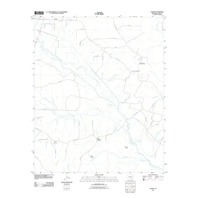
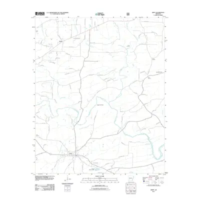
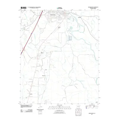
(120)- 2011 Map of Sparkman NW, 2011 Print
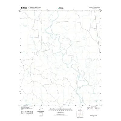 2011 Sparkman NW2011 Print · USGSCovers Clark County, including Fairview, Shakertown, and other nearby areas
 - 2011 Map of Prescott East, 2011 Print
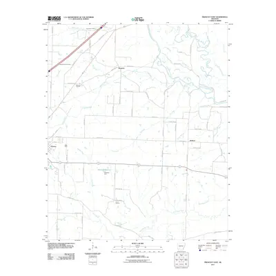 2011 Prescott East2011 Print · USGSCovers Clark County, including Prescott, Redland, and other nearby areas
 - 2011 Map of Whelen Springs, 2011 Print
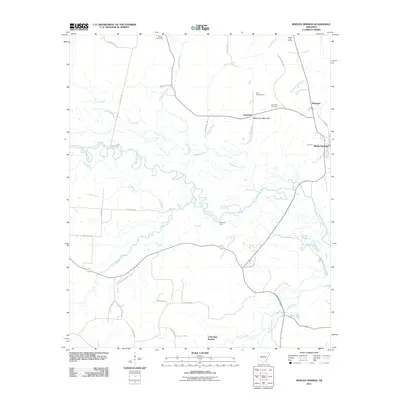 2011 Whelen Springs2011 Print · USGSCovers Clark County, including Whelen Springs, Barringer, and other nearby areas
 - 2011 Map of Piney Grove, 2011 Print
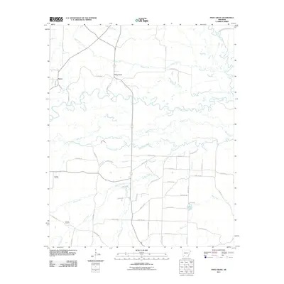 2011 Piney Grove2011 Print · USGSCovers Clark County, including Piney Grove, Bowen, and other nearby areas
 - 2011 Map of Curtis, 2011 Print
 2011 Curtis2011 Print · USGSCovers Clark County, including Curtis, Red Springs, and other nearby areas
 - 2011 Map of Tates Bluff, 2011 Print
 2011 Tates Bluff2011 Print · USGSCovers Clark County, including Tates Bluff, Kansas, and other nearby areas
 - 2011 Map of Gurdon, 2011 Print
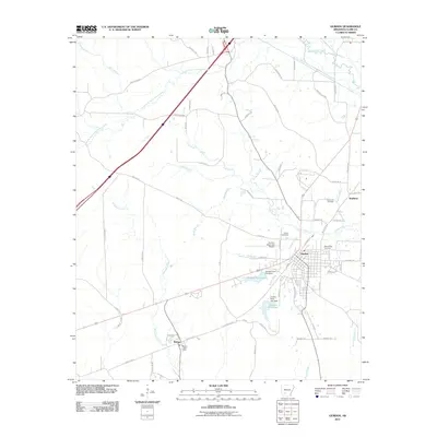 2011 Gurdon2011 Print · USGSCovers Clark County, including Gurdon, Smithton, and other nearby areas
 - 2011 Map of Okolona South, 2011 Print
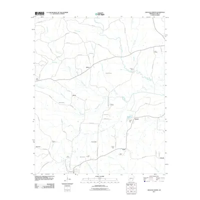
 2011 Okolona South2011 Print · USGSCovers Clark County, including Okolona, Burtsell, and other nearby areas
 - 2011 Map of Amity, 2011 Print
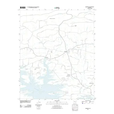
 2011 Amity2011 Print · USGSCovers Clark County, including Amity, Welsh, and other nearby areas
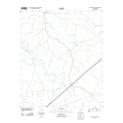
 - 2011 Map of Murfreesboro NE, 2011 Print
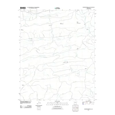 2011 Murfreesboro NE2011 Print · USGSCovers Clark County, including Pike County, United States, and other nearby areas
 - 2011 Map of Chalybeate Mountain East, 2011 Print
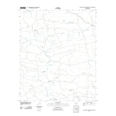
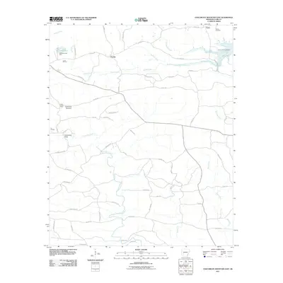 2011 Chalybeate Mountain East2011 Print · USGSCovers Clark County, including Lenox, Fendley, and other nearby areas
 - 2011 Map of Point Cedar, 2011 Print
 2011 Point Cedar2011 Print · USGSCovers Clark County, including Beaton, Point Cedar, and other nearby areas
 - 2011 Map of Bismarck, 2011 Print
 2011 Bismarck2011 Print · USGSCovers Clark County, including Old De Roche, Oak Bower, and other nearby areas
 - 2011 Map of Arkadelphia, 2011 Print
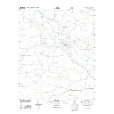
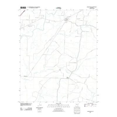
 2011 Arkadelphia2011 Print · USGSCovers Clark County, including Arkadelphia, Arkadelphia, and other nearby areas
 - 2011 Map of Glenwood, 2011 Print
 2011 Glenwood2011 Print · USGSCovers Clark County, including Segur, Rosboro, and other nearby areas
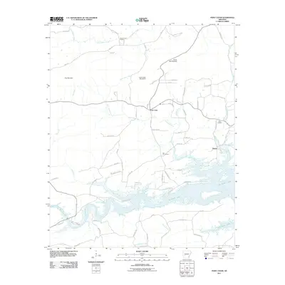
 - 2011 Map of De Gray, 2011 Print
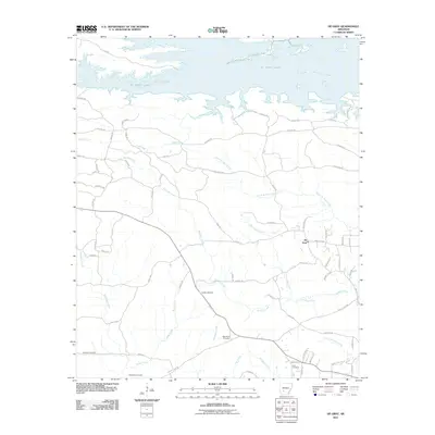 2011 De Gray2011 Print · USGSCovers Clark County, including De Gray, Hot Spring County, and other nearby areas
 - 2011 Map of Chalybeate Mountain West, 2011 Print
 2011 Chalybeate Mountain West2011 Print · USGSCovers Clark County, including Graysonia, Nutts, and other nearby areas
 - 2011 Map of Antoine, 2011 Print
 2011 Antoine2011 Print · USGSCovers Clark County, including Delight, Antoine, and other nearby areas
 - 2011 Map of Okolona North, 2011 Print
 2011 Okolona North2011 Print · USGSCovers Clark County, including Okolona, Bethel, and other nearby areas
 - 2011 Map of Hollywood, 2011 Print
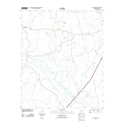 2011 Hollywood2011 Print · USGSCovers Clark County, including Hollywood, United States, and other nearby areas
 - 2011 Map of Dalark, 2011 Print
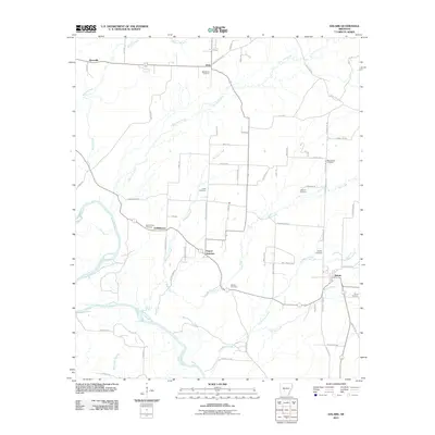 2011 Dalark2011 Print · USGSCovers Clark County, including Gravel Junction, Dalark, and other nearby areas
 - 2011 Map of Donaldson, 2011 Print
 2011 Donaldson2011 Print · USGSCovers Clark County, including Midway, Donaldson, and other nearby areas
 - 2011 Map of Caddo Valley, 2011 Print
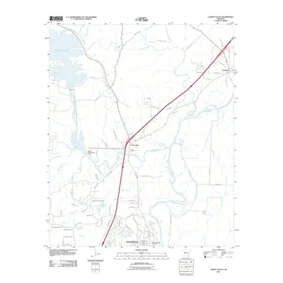 2011 Caddo Valley2011 Print · USGSCovers Clark County, including Arkadelphia, Arkadelphia, and other nearby areas
 - 2011 Map of Reader, 2011 Print
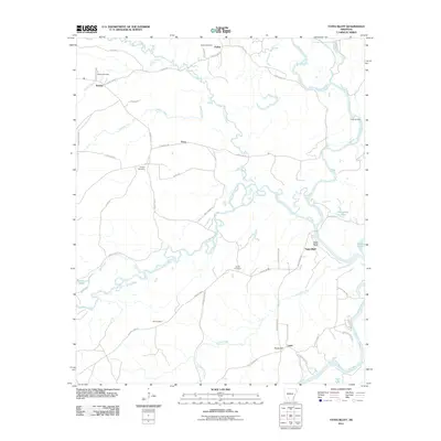
 2011 Reader2011 Print · USGSCovers Clark County, including Whelen Springs, Sayre, and other nearby areas
 - 2014 Map of Okolona North, 2014 Print
 2014 Okolona North2014 Print · USGSCovers Clark County, including Okolona, Bethel, and other nearby areas
Showing maps 1-25 of 120
Top cities of Clark County
- Arkadelphia historical maps
- Gurdon historical maps
- Amity historical maps
- Caddo Valley historical maps
- Gum Springs historical maps
- Okolona historical maps
See more
Frequently asked questions
- What are the different types of historical maps available for Clark County?
- What is the oldest map of Clark County?
- Where can I purchase historical maps of Clark County for my home or office?
- Where can I download high-res historical maps of Clark County?
- Are there historical topographic maps available for Clark County?
- Is there historical aerial imagery available for Clark County?
- Where are historical maps of Clark County sourced from?