2020s Maps of Clark County, Arkansas
Explore 48 historic maps of Clark County from the 2020s. These maps offer a rare glimpse into what life looked like during the 2020s — showing old roads, neighborhoods, homes, and landmarks that have changed or disappeared over time.
Whether you're researching your family's past, planning a metal detecting trip, or studying how Clark County's landscape evolved across the 2020s, these high-resolution maps are a powerful tool for exploring the history of this region.
- Focus on a specific era: All maps on this page are from the 2020s, giving you a focused view of this time period.
- See what’s changed: Compare century-old streets, trails, and buildings to today's modern landscape using overlays and satellite layers.
- Research with precision: Use these maps for genealogy, historical research, land use analysis, or educational projects.
- View, download, or print: Maps are fully viewable online in high resolution, and can be downloaded or printed for your own records.
Start exploring Clark County's history through authentic maps from the 2020s. This is your window into the past.
Clark County, AR maps
(48)- 2020 Map of Gurdon, 2020 Print
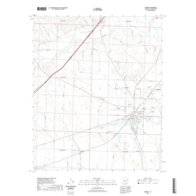 2020 Gurdon2020 Print · USGSThe timber and rail town of Gurdon is captured in this modern survey of Clark County, Arkansas. Local historians can trace the community layout near Gurdon Lowe Field and locate heritage sites like Greenville Cemetery and the settlement of Beirne.
 - 2020 Map of Prescott East, 2020 Print
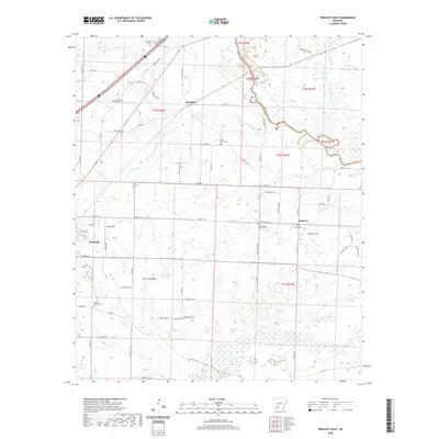 2020 Prescott East2020 Print · USGSNevada County's rural landscape comes into focus in this recent survey of the area surrounding Prescott. Researchers can locate several burial sites including Moscow Church Cem and Washington Hill Cem, alongside the waters of the Little Missouri River.
 - 2020 Map of Reader, 2020 Print
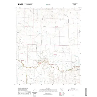 2020 Reader2020 Print · USGSThe Little Missouri River bottomlands in the late twenty-teens reveal a landscape shaped by water and wood at the intersection of three counties. Local historians can trace the rural communities of Reader and Sayre, alongside family landmarks like Jenkins Cem and Polk Stinnett Hill.
 - 2020 Map of Whelen Springs, 2020 Print
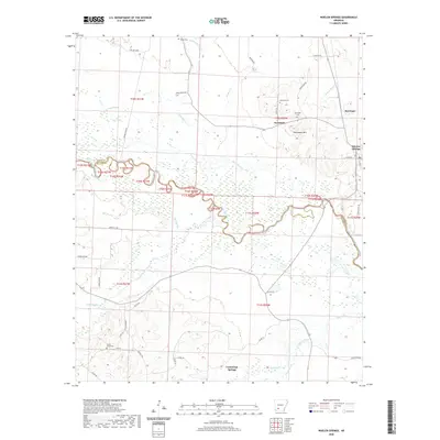 2020 Whelen Springs2020 Print · USGSWhelen Springs and the southern Arkansas timberlands are documented here in the early twenty-first century. Researchers can trace rural lineages at Rose Hill Cem or locate old homesteads near Sycamore and the winding Little Missouri River.
 - 2020 Map of Curtis, 2020 Print
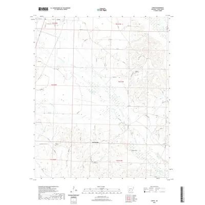 2020 Curtis2020 Print · USGSClark County settlement and rural life are documented here in the early twenty-first century, centered on the communities of Curtis and Red Springs. Researchers can locate family landmarks like Copeland Ridge Cem and the waters of Terre Noire Creek.
 - 2020 Map of Piney Grove, 2020 Print
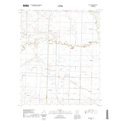 2020 Piney Grove2020 Print · USGSSouthwest Arkansas river country is captured here in the 2020s, centered on the winding Little Missouri River. Genealogists and historians can trace the rural communities of Piney Grove and Bowen, alongside local burial sites like Elizabeth Cem.
 - 2020 Map of Okolona South, 2020 Print
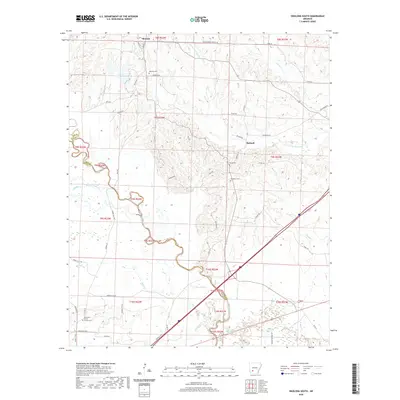 2020 Okolona South2020 Print · USGSSouthern Clark County and northern Nevada County come into focus in this recent survey, showing the rural lands surrounding Okolona and Burtsell. Researchers can trace family history through landmarks like Missionary Grove Church and the isolated Old Rome Cem.
 - 2020 Map of Arkadelphia, 2020 Print
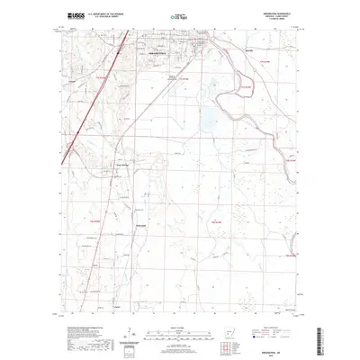 2020 Arkadelphia2020 Print · USGSArkadelphia and its surrounding Clark County riverlands are documented here in recent years, showing the area's continued growth as a university and county seat. Genealogists and local researchers can trace family sites at Rose Hill Cem, Richwoods Cem, and the community of Gum Springs.
 - 2020 Map of Amity, 2020 Print
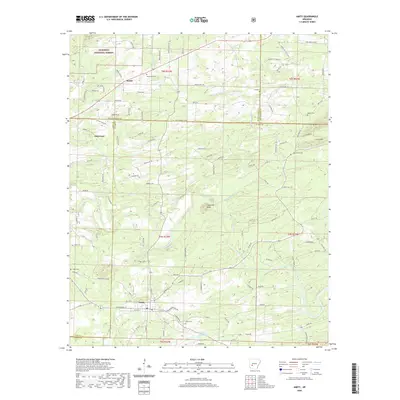 2020 Amity2020 Print · USGSThe river valleys of Clark and Pike counties are captured here in the contemporary era. Researchers can locate family landmarks like Coker Cem and Dillard Cem or trace the winding course of the Caddo River near Amity.
 - 2020 Map of Bismarck, 2020 Print
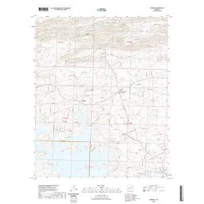 2020 Bismarck2020 Print · USGSBismarck and the surrounding Hot Spring County countryside are shown here in the 2020s, showing the intersection of lake life and rural agriculture. Genealogists can trace local roots at Pleasant Hill Cem, Oak Bower Cem, and the old community at Lambert.
 - 2020 Map of Murfreesboro NE, 2020 Print
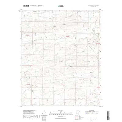 2020 Murfreesboro NE2020 Print · USGSThe border of Pike and Clark counties follows the winding Antoine River in this recent Arkansas survey. Local historians can trace family roots at Macedonia Cem or find landmarks like Wall Rock and Lassie Gap.
 - 2020 Map of Hollywood, 2020 Print
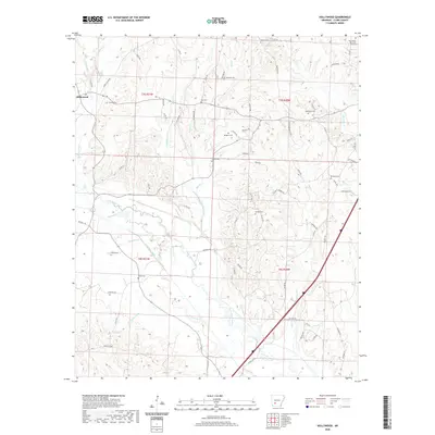 2020 Hollywood2020 Print · USGSHollywood and its surrounding Clark County countryside appear in great detail during this twenty-first-century survey. Genealogists can trace family connections through numerous local burial sites like Stroud Cem, Lee Cem, and the Bozeman Cem.
 - 2020 Map of Glenwood, 2020 Print
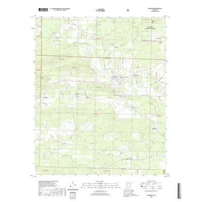 2020 Glenwood2020 Print · USGSThe Ouachita foothills and Caddo River valley define this rural landscape during the early twenty-first century. Researchers can trace family history through numerous remote burial sites like Old Ebenezer Cem or explore the settlements of Rosboro and Salem.
 - 2020 Map of Caddo Valley, 2020 Print
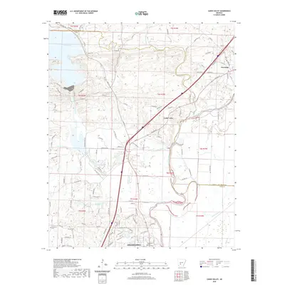 2020 Caddo Valley2020 Print · USGSArkadelphia and the Caddo River valley are detailed in this 2020 survey, showing the modern layout of the region. Researchers can trace local history through the many cemeteries and schools, including Henderson State University, Davis Cem, and the path of Old Military Rd.
 - 2020 Map of De Gray, 2020 Print
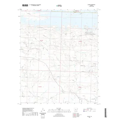 2020 De Gray2020 Print · USGSThe rural landscapes of Clark County are captured here in the years following the turn of the millennium. Genealogists and local historians can trace family roots through numerous burial sites like Golden Cem, Callaway Cem, and the quiet community of De Gray.
 - 2020 Map of Point Cedar, 2020 Print
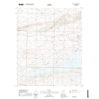 2020 Point Cedar2020 Print · USGSThe northern shores of De Gray Lake and the rising peaks of the Ouachita foothills are captured here in the contemporary era. Researchers can trace local heritage at Mazarn Chapel Cem, Free Hill Cem, and the communities of Point Cedar and Beaton.
 - 2020 Map of Okolona North, 2020 Print
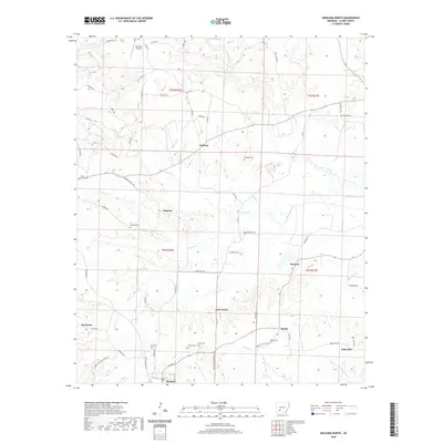 2020 Okolona North2020 Print · USGSClark County in the early twenty-first century reveals a deeply rooted rural landscape of family-named settlements and cemeteries. Researchers can trace ancestral lines through sites like Wier Cem and Ross Cem near the town of Okolona.
 - 2020 Map of Chalybeate Mountain West, 2020 Print
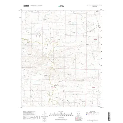 2020 Chalybeate Mountain West2020 Print · USGSIn this modern survey of Clark and Pike counties, the rural settlements along the Antoine River remain preserved in high detail. Researchers can trace family history through a concentration of sites like Alpine Cem, Humphrey Cem, and the historic crossroads of Graysonia and Shawmut.
 - 2020 Map of Chalybeate Mountain East, 2020 Print
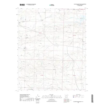 2020 Chalybeate Mountain East2020 Print · USGSClark County, Arkansas, is shown here in the contemporary era as a landscape of timbered ridges and quiet creek valleys. Genealogists can locate family sites like Jordan Cem and Hill Cem or trace the early path of Military Rd.
 - 2020 Map of Antoine, 2020 Print
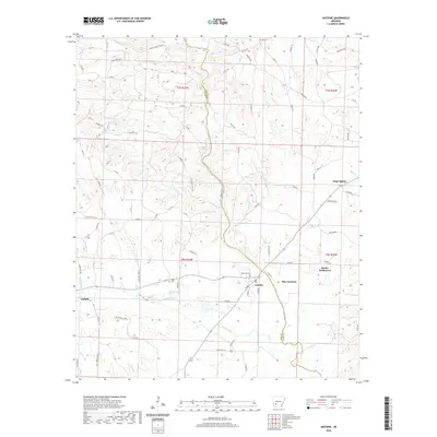 2020 Antoine2020 Print · USGSSouthwest Arkansas river country comes into focus in the 2020s, centered on the boundary between Pike and Clark counties. Researchers can locate local landmarks like Antoine Cem, Meeks Settlement, and the rural crossroads of Pike Junction.
 - 2020 Map of Sparkman NW, 2020 Print
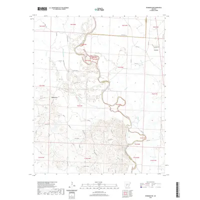 2020 Sparkman NW2020 Print · USGSThe Ouachita River valley on the Clark and Dallas County line shows a landscape defined by meandering waterways and rural settlements. Trace local history through family-named routes and landmarks like Nixs Ferry Rd, Shakertown, and the Centerpoint Cem.
 - 2020 Map of Tates Bluff, 2020 Print
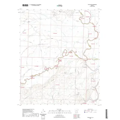 2020 Tates Bluff2020 Print · USGSThe river junction at Tates Bluff and its surrounding rural communities are captured here in the early twenty-first century. Genealogists can trace family roots through numerous burial sites like Vaden Cem and McGill Cem or the settlements of Kansas and Lunet.
 - 2020 Map of Donaldson, 2020 Print
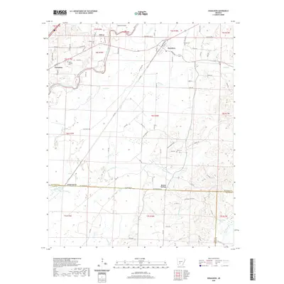 2020 Donaldson2020 Print · USGSThe Ouachita River valley in south-central Arkansas is captured here in recent years, showing the rural settlements of Donaldson and Friendship. Researchers can locate several community burial sites like Mount Pleasant Cem and landmarks such as Dutherage Spring.
 - 2020 Map of Dalark, 2020 Print
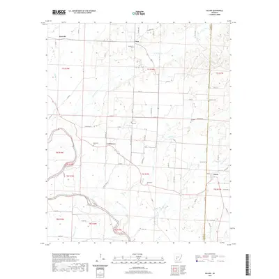 2020 Dalark2020 Print · USGSThe timberlands along the Clark and Dallas county line come into focus in this study of the rural Ouachita River valley. Genealogists can trace family roots through numerous burial sites like Macedonia Cem and Strong Cem or locate the historic centers of Dalark and Griffithtown.
 - 2024 Map of Tates Bluff, 2024 Print
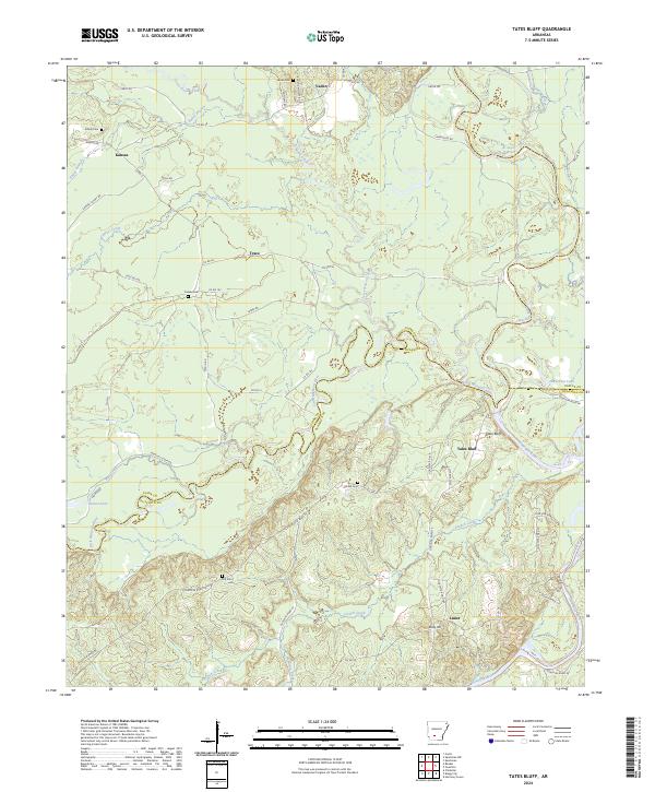 2024 Tates Bluff2024 Print · USGSThe confluence of the Ouachita and Little Missouri rivers defines this southern Arkansas landscape. Genealogists can trace family roots through rural communities like Vaden and Lunet, or locate family burial sites at Easley Cem and Hill Cem.
Showing maps 1-25 of 48
Top cities of Clark County
- Arkadelphia historical maps
- Gurdon historical maps
- Amity historical maps
- Caddo Valley historical maps
- Gum Springs historical maps
- Okolona historical maps
See more
Frequently asked questions
- What are the different types of historical maps available for Clark County?
- What is the oldest map of Clark County?
- Where can I purchase historical maps of Clark County for my home or office?
- Where can I download high-res historical maps of Clark County?
- Are there historical topographic maps available for Clark County?
- Is there historical aerial imagery available for Clark County?
- Where are historical maps of Clark County sourced from?