2020s Maps of Cleveland County, Arkansas
Explore 38 historic maps of Cleveland County from the 2020s. These maps offer a rare glimpse into what life looked like during the 2020s — showing old roads, neighborhoods, homes, and landmarks that have changed or disappeared over time.
Whether you're researching your family's past, planning a metal detecting trip, or studying how Cleveland County's landscape evolved across the 2020s, these high-resolution maps are a powerful tool for exploring the history of this region.
- Focus on a specific era: All maps on this page are from the 2020s, giving you a focused view of this time period.
- See what’s changed: Compare century-old streets, trails, and buildings to today's modern landscape using overlays and satellite layers.
- Research with precision: Use these maps for genealogy, historical research, land use analysis, or educational projects.
- View, download, or print: Maps are fully viewable online in high resolution, and can be downloaded or printed for your own records.
Start exploring Cleveland County's history through authentic maps from the 2020s. This is your window into the past.
Cleveland County, AR maps
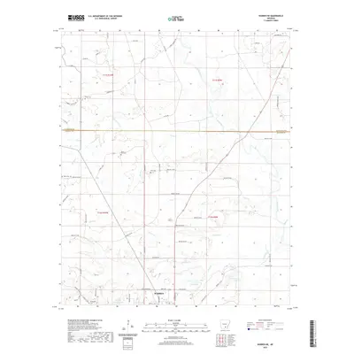
(38)- 2020 Map of Kedron, 2020 Print
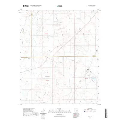 2020 Kedron2020 Print · USGSCovers Cleveland County, including Rone, Kedron, and other nearby areas
 - 2020 Map of Bunn, 2020 Print
 2020 Bunn2020 Print · USGSCovers Cleveland County, including Bunn, Farindale, and other nearby areas
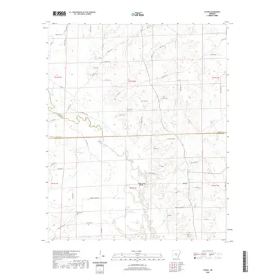
 - 2020 Map of Faith, 2020 Print
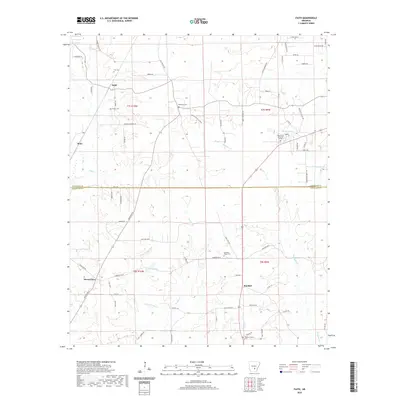 2020 Faith2020 Print · USGSCovers Cleveland County, including Mount Zion, Randall, and other nearby areas
 - 2020 Map of Pinebergen, 2020 Print
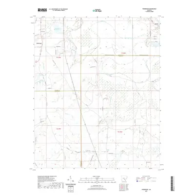 2020 Pinebergen2020 Print · USGSCovers Cleveland County, including Pinebergen, Hooker, and other nearby areas
 - 2020 Map of Wilmar North, 2020 Print
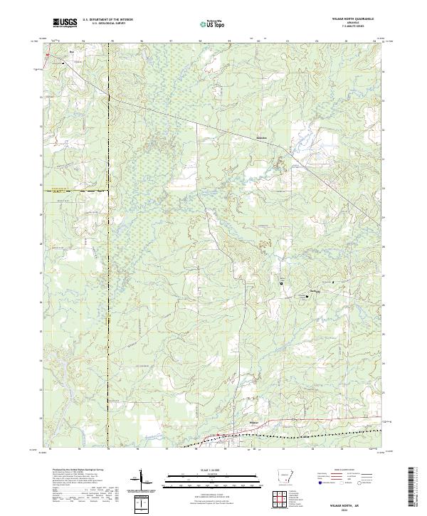
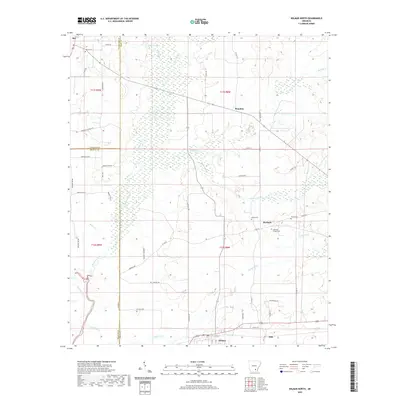 2020 Wilmar North2020 Print · USGSCovers Cleveland County, including Wilmar, Barkada, and other nearby areas
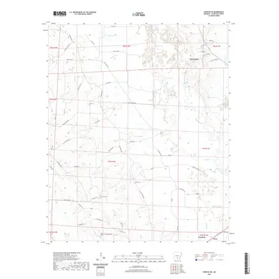
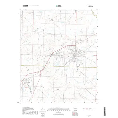
 - 2020 Map of Cornerville, 2020 Print
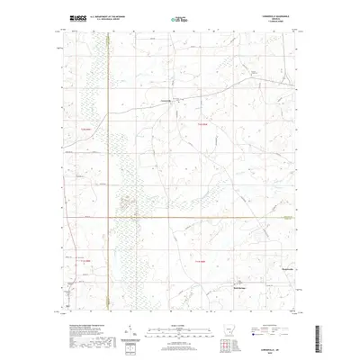 2020 Cornerville2020 Print · USGSCovers Cleveland County, including Rock Springs, Bethel, and other nearby areas
 - 2020 Map of Glendale, 2020 Print
 2020 Glendale2020 Print · USGSCovers Cleveland County, including Branchville, Palmyra, and other nearby areas
 - 2020 Map of Calmer, 2020 Print
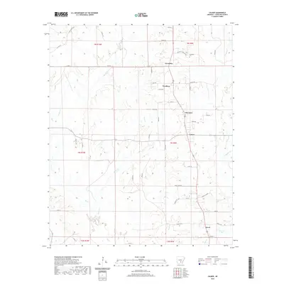 2020 Calmer2020 Print · USGSCovers Cleveland County, including Oak Grove, Calmer, and other nearby areas
 - 2020 Map of Fordyce NE, 2020 Print
 2020 Fordyce NE2020 Print · USGSCovers Cleveland County, including Kingsland, Canoe Landing, and other nearby areas
 - 2020 Map of Rison, 2020 Print
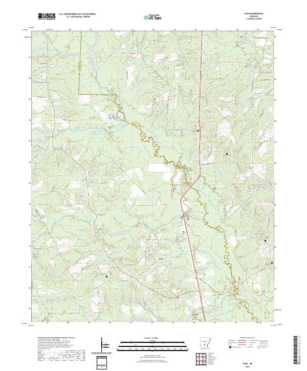
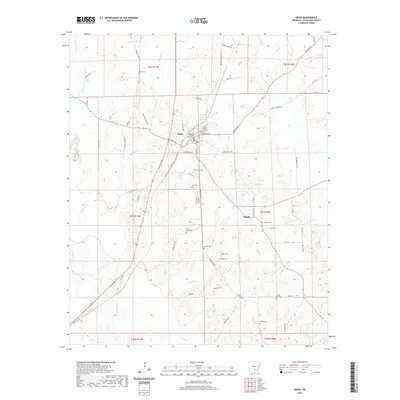 2020 Rison2020 Print · USGSCovers Cleveland County, including Rison, Toledo, and other nearby areas
 - 2020 Map of Ivan, 2020 Print
 2020 Ivan2020 Print · USGSCovers Cleveland County, including Oak Grove, Ivan, and other nearby areas
 - 2020 Map of Tinsman, 2020 Print
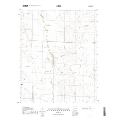 2020 Tinsman2020 Print · USGSCovers Cleveland County, including Tinsman, Ellisville, and other nearby areas
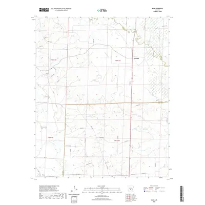
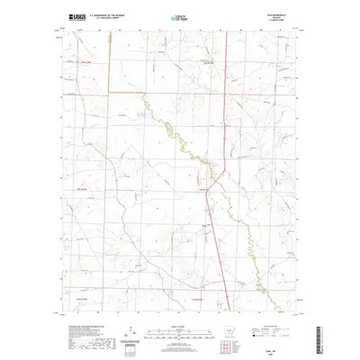
 - 2020 Map of Warren NE, 2020 Print
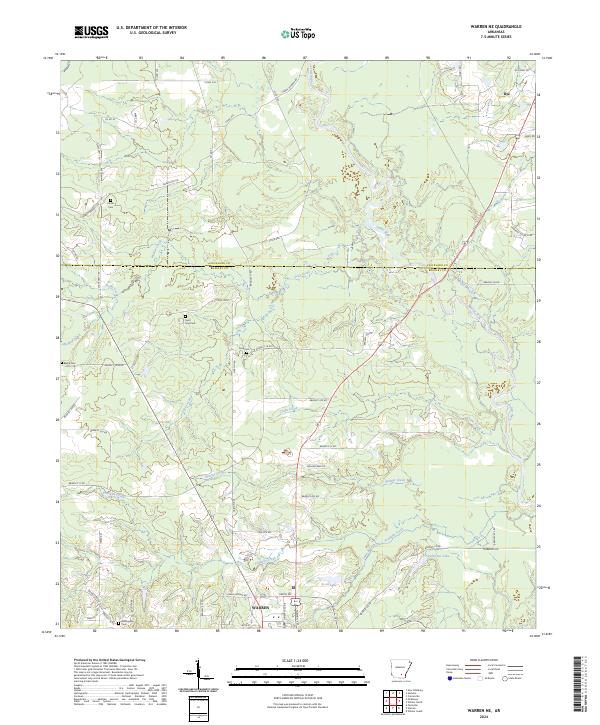
 2020 Warren NE2020 Print · USGSCovers Cleveland County, including Warren, Bradley County, and other nearby areas
 - 2020 Map of Fordyce, 2020 Print
 2020 Fordyce2020 Print · USGSCovers Cleveland County, including Fordyce, Thornton, and other nearby areas
 - 2020 Map of Staves, 2020 Print
 2020 Staves2020 Print · USGSCovers Cleveland County, including Staves, White Oak Bluff, and other nearby areas
 - 2020 Map of New Edinburg, 2020 Print
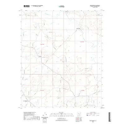 2020 New Edinburg2020 Print · USGSCovers Cleveland County, including New Edinburg, Hebron, and other nearby areas
 - 2020 Map of Herbine, 2020 Print
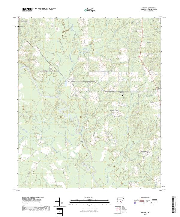
 2020 Herbine2020 Print · USGSCovers Cleveland County, including Pansy, Herbine, and other nearby areas
 - 2020 Map of Kingsland, 2020 Print
 2020 Kingsland2020 Print · USGSCovers Cleveland County, including Kingsland, Saline, and other nearby areas
 - 2020 Map of McKinney, 2020 Print
 2020 McKinney2020 Print · USGSCovers Cleveland County, including Orlando, Weeks, and other nearby areas
 - 2024 Map of Cornerville, 2024 Print
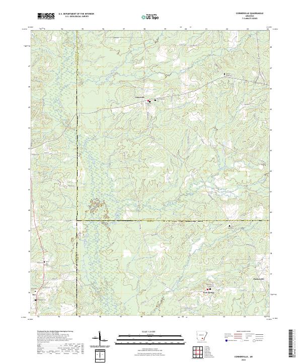 2024 Cornerville2024 Print · USGSThe rural intersection of Cleveland, Lincoln, and Drew counties comes into focus in this contemporary survey of South Arkansas. Researchers can trace local lineage through several burial sites including Newton Chapel Cem, Searcy Cem, and Strangers Rest Cem.
 - 2024 Map of Wilmar North, 2024 Print
 2024 Wilmar North2024 Print · USGSSoutheast Arkansas timberlands and creek bottoms come to life in this survey of the tri-county area of Cleveland, Bradley, and Drew. Genealogists can trace family footprints at Union Cem, Torian Cem, and the historic crossroads of Barkada and Wilmar.
 - 2024 Map of Warren NE, 2024 Print
 2024 Warren NE2024 Print · USGSThe northern edge of Bradley County comes into focus in this recent survey of the rural landscape near Rye. Genealogists and local historians can locate several family burial grounds, including Beard Cem and Seay Cem, alongside the winding Saline River.
 - 2024 Map of Ivan, 2024 Print
 2024 Ivan2024 Print · USGSThe timberlands of Dallas County and Cleveland County come into focus in the 2020s, centering on the rural community of Ivan. Local historians and genealogists can trace family footprints through several burial sites including Dixon Cem, Broach Cem, and Johnson Cem.
 - 2024 Map of Herbine, 2024 Print
 2024 Herbine2024 Print · USGSCleveland County rural life is centered on the winding Saline River in this modern survey. Genealogists can trace family connections through local landmarks like Macedonia Cem, the settlement of Herbine, and the riverside terrain of Vince Bluff.
 - 2024 Map of Fordyce NE, 2024 Print
 2024 Fordyce NE2024 Print · USGSCleveland County and the town of Kingsland are documented here in the early twenty-first century as the landscape shifts between timber tracts and river bottoms. Researchers can locate numerous family burial sites like Harrison Tanyard Cem and trace old river routes near Chownings Ferry Rd.
Showing maps 1-25 of 38
Top cities of Cleveland County
Frequently asked questions
- What are the different types of historical maps available for Cleveland County?
- What is the oldest map of Cleveland County?
- Where can I purchase historical maps of Cleveland County for my home or office?
- Where can I download high-res historical maps of Cleveland County?
- Are there historical topographic maps available for Cleveland County?
- Is there historical aerial imagery available for Cleveland County?
- Where are historical maps of Cleveland County sourced from?