2020s Maps of Conway County, Arkansas
Explore 36 historic maps of Conway County from the 2020s. These maps offer a rare glimpse into what life looked like during the 2020s — showing old roads, neighborhoods, homes, and landmarks that have changed or disappeared over time.
Whether you're researching your family's past, planning a metal detecting trip, or studying how Conway County's landscape evolved across the 2020s, these high-resolution maps are a powerful tool for exploring the history of this region.
- Focus on a specific era: All maps on this page are from the 2020s, giving you a focused view of this time period.
- See what’s changed: Compare century-old streets, trails, and buildings to today's modern landscape using overlays and satellite layers.
- Research with precision: Use these maps for genealogy, historical research, land use analysis, or educational projects.
- View, download, or print: Maps are fully viewable online in high resolution, and can be downloaded or printed for your own records.
Start exploring Conway County's history through authentic maps from the 2020s. This is your window into the past.
Conway County, AR maps
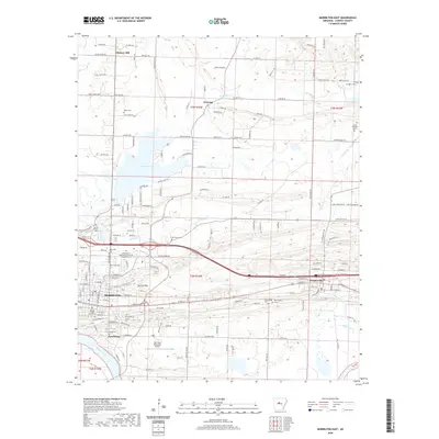
(36)- 2020 Map of Springfield, 2020 Print
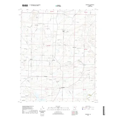 2020 Springfield2020 Print · USGSCovers Conway County, including Bethlehem, Birdtown, and other nearby areas
 - 2020 Map of Hattieville, 2020 Print
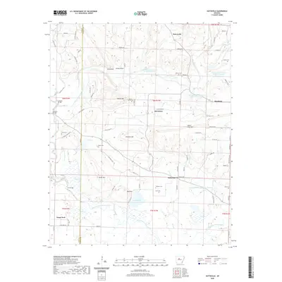 2020 Hattieville2020 Print · USGSCovers Conway County, including Macedonia, Happy Bend, and other nearby areas
 - 2020 Map of Perryville, 2020 Print
 2020 Perryville2020 Print · USGSCovers Conway County, including Perryville, Oppelo, and other nearby areas
 - 2020 Map of Atkins, 2020 Print
 2020 Atkins2020 Print · USGSCovers Conway County, including Atkins, Galla Rock, and other nearby areas
 - 2020 Map of Gleason, 2020 Print
 2020 Gleason2020 Print · USGSCovers Conway County, including Conway, Bigelow, and other nearby areas
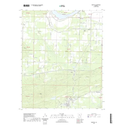
 - 2020 Map of Morrilton West, 2020 Print
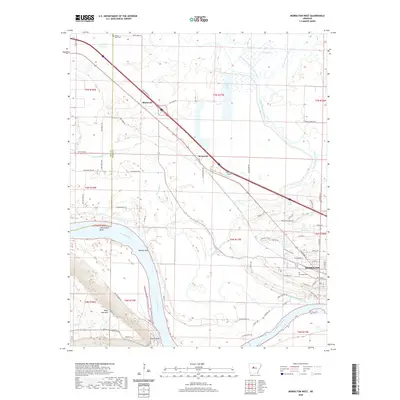 2020 Morrilton West2020 Print · USGSCovers Conway County, including Morrilton, Blackwell, and other nearby areas
 - 2020 Map of Formosa, 2020 Print
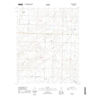 2020 Formosa2020 Print · USGSCovers Conway County, including Pleasant Grove, Pleasant Hill, and other nearby areas
 - 2020 Map of Adona, 2020 Print
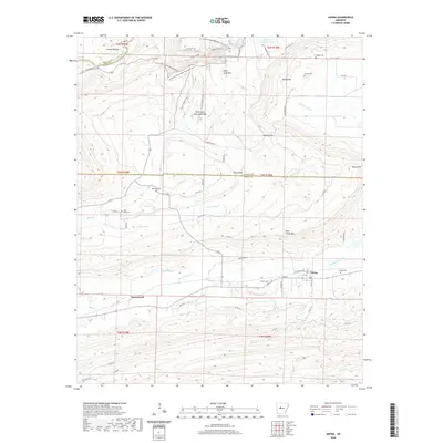 2020 Adona2020 Print · USGSCovers Conway County, including Adona, Homewood, and other nearby areas
 - 2020 Map of Houston, 2020 Print
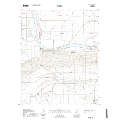 2020 Houston2020 Print · USGSCovers Conway County, including Oppelo, Bigelow, and other nearby areas
 - 2020 Map of Morrilton East, 2020 Print
 2020 Morrilton East2020 Print · USGSCovers Conway County, including Morrilton, Plumerville, and other nearby areas
 - 2020 Map of Menifee, 2020 Print
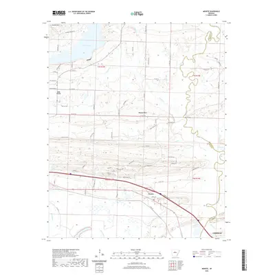 2020 Menifee2020 Print · USGSCovers Conway County, including Conway, Menifee, and other nearby areas
 - 2020 Map of Bee Branch, 2020 Print
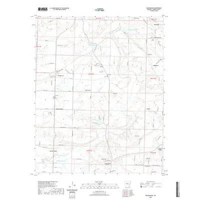
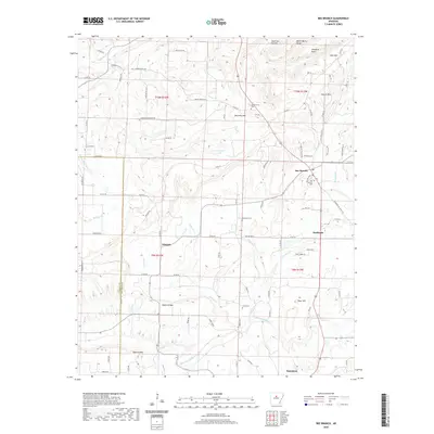 2020 Bee Branch2020 Print · USGSCovers Conway County, including Bee Branch, Southside, and other nearby areas
 - 2020 Map of Jerusalem, 2020 Print
 2020 Jerusalem2020 Print · USGSCovers Conway County, including Gobblers Point, Jerusalem, and other nearby areas
 - 2020 Map of Greenbrier, 2020 Print
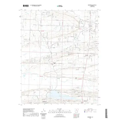 2020 Greenbrier2020 Print · USGSCovers Conway County, including Conway, Greenbrier, and other nearby areas
 - 2020 Map of Solgohachia, 2020 Print
 2020 Solgohachia2020 Print · USGSCovers Conway County, including Lanty, Lone Grove, and other nearby areas
 - 2020 Map of Cleveland, 2020 Print
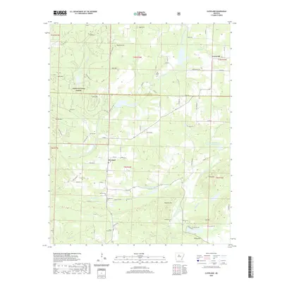 2020 Cleveland2020 Print · USGSCovers Conway County, including Gravel Hill, Lost Corner, and other nearby areas
 - 2020 Map of Casa, 2020 Print
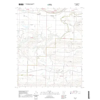 2020 Casa2020 Print · USGSCovers Conway County, including Casa, Pontoon, and other nearby areas
 - 2020 Map of Damascus, 2020 Print
 2020 Damascus2020 Print · USGSCovers Conway County, including Greenbrier, Twin Groves, and other nearby areas
 - 2024 Map of Formosa, 2024 Print
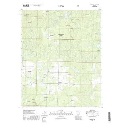
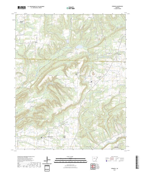 2024 Formosa2024 Print · USGSThe Van Buren and Conway county line defines this corner of Arkansas in the early twenty-first century. Genealogists can trace family roots at Woolverton Mountain Cem, Halbrook Cem, and through the small communities of Center Ridge and Formosa.
 - 2024 Map of Bee Branch, 2024 Print
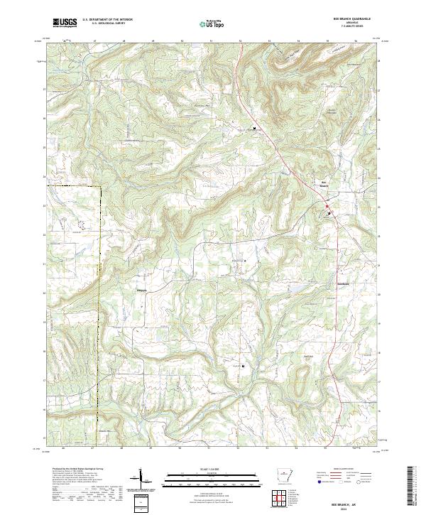 2024 Bee Branch2024 Print · USGSNorth-central Arkansas at the dawn of the twenty-first century reveals a network of high-ridge settlements and family cemeteries. Trace the rural routes connecting Bee Branch and Whipple or locate landmarks like Rabbit Ridge and the Quattlebaum Cem.
 - 2024 Map of Perryville, 2024 Print
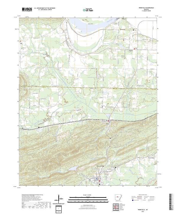 2024 Perryville2024 Print · USGSModern-day Perryville and its river-valley neighbors appear in detail on this contemporary survey of central Arkansas. Researchers can trace family roots at numerous burial sites like Ada Valley Cem and Wolf Cem or locate the Perry County Courthouse near the Fourche LaFave River.
 - 2024 Map of Solgohachia, 2024 Print
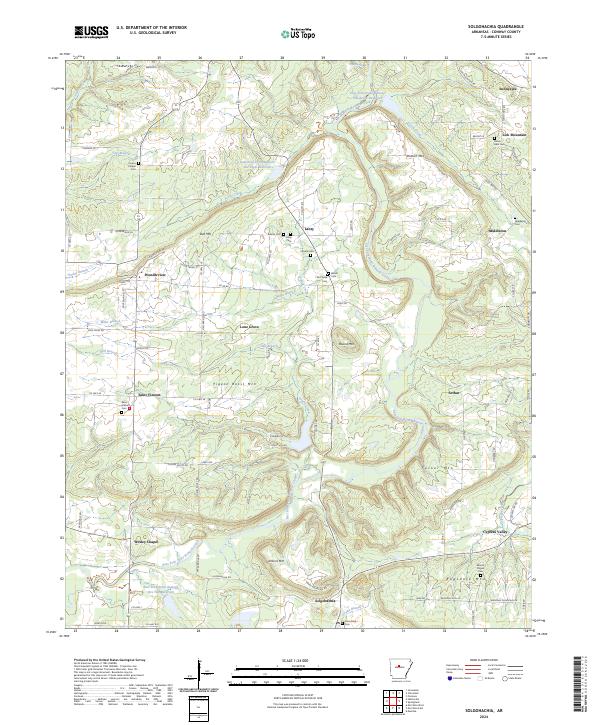 2024 Solgohachia2024 Print · USGSConway County's upland farms and creek valleys are documented here during a period of modern rural stability. Researchers can locate numerous family burial grounds and community landmarks, including Vinson Chapel Cem, the Saint Vincent community, and Jenkins Mtn.
 - 2024 Map of Houston, 2024 Print
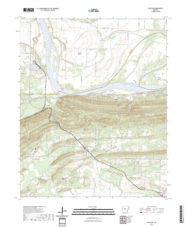 2024 Houston2024 Print · USGSThe riverbottoms and ridges of Perry County come to life in this recent survey of the Arkansas River corridor. Researchers can locate family burial sites at Houston Cem and Leach Cem while tracing the winding path of the Fourche LaFave River.
 - 2024 Map of Cleveland, 2024 Print
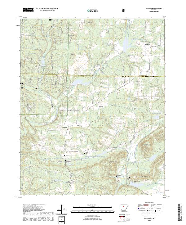 2024 Cleveland2024 Print · USGSThe community of Cleveland is documented here as it appeared in recent years, situated where the Ozark National Forest meets the Conway County line. Genealogists can locate several family landmarks and burial grounds, including Old Liberty Cem, Prospect Cem, and Nichols Cem.
 - 2024 Map of Adona, 2024 Print
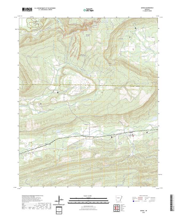 2024 Adona2024 Print · USGSThe valleys and heights of Perry and Conway Counties come to life in this contemporary survey of the area around Adona. Researchers can locate several ancestral burial sites including Higgins Cem and Hamilton Cem or trace the winding course of the Petit Jean River.
Showing maps 1-25 of 36
Top cities of Conway County
Frequently asked questions
- What are the different types of historical maps available for Conway County?
- What is the oldest map of Conway County?
- Where can I purchase historical maps of Conway County for my home or office?
- Where can I download high-res historical maps of Conway County?
- Are there historical topographic maps available for Conway County?
- Is there historical aerial imagery available for Conway County?
- Where are historical maps of Conway County sourced from?