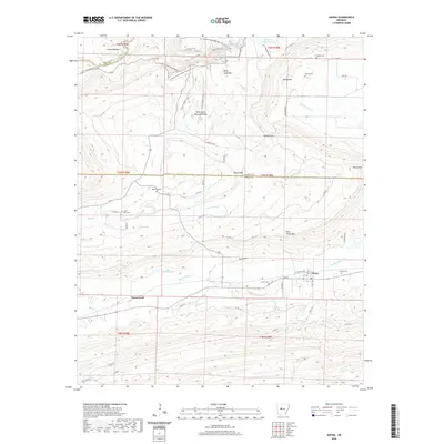
2020 Map of Adona
USGS Topo · Published 2020About this map
Adona anchors the southeastern corner of this region where the plains meet the rising elevations of Rose Creek Mtn and Round Mtn. The landscape is defined by the winding course of the Petit Jean River and a network of creeks including Little Rose Cr and Rocky Cypress Cr. In the northern section, the terrain climbs toward Petit Jean Mtn, a notable plateau hosting the Winthrop P. Rockefeller Boy Scout Trail and the unique Petit Jean Natural Bridge.
Find a feature on this map
63 named features on this map. Tap any name to fly to it.
Don’t see what you’re looking for? This feature index may not catch every label — zoom into the map to look around manually.
Map Details
Editions of this 2020 Adona Map
This is the sole edition of this map. No revisions or reprints were ever made.
Other maps of this area

1888 · Dardanelle #4
USGS Topo · 1:62,500

1889 · Morrilton No. 3
USGS Topo · 1:62,500

1890 · Benton
USGS Topo · 1:125,000

1890 · Hot Springs
USGS Topo · 1:125,000

1890 · Dardanelle
USGS Topo · 1:125,000

1892 · Morrillton
USGS Topo · 1:125,000

1894 · Morrillton
USGS Topo · 1:125,000

1894 · Hot Springs
USGS Topo · 1:125,000

1894 · Benton
USGS Topo · 1:125,000

1955 · Little Rock
USGS Topo · 1:250,000