2000s (21st Century) Maps of Conway County, Arkansas
Explore 90 historic maps of Conway County from the 2000s (21st Century). These maps offer a rare glimpse into what life looked like during the 2000s — showing old roads, neighborhoods, homes, and landmarks that have changed or disappeared over time.
Whether you're researching your family's past, planning a metal detecting trip, or studying how Conway County's landscape evolved across the 2000s, these high-resolution maps are a powerful tool for exploring the history of this region.
- Focus on a specific era: All maps on this page are from the 2000s, giving you a focused view of this time period.
- See what’s changed: Compare century-old streets, trails, and buildings to today's modern landscape using overlays and satellite layers.
- Research with precision: Use these maps for genealogy, historical research, land use analysis, or educational projects.
- View, download, or print: Maps are fully viewable online in high resolution, and can be downloaded or printed for your own records.
Start exploring Conway County's history through authentic maps from the 2000s. This is your window into the past.
Conway County, AR maps
(90)- 2011 Map of Cleveland, 2011 Print
 2011 Cleveland2011 Print · USGSThe rural communities of Van Buren County are documented here in the early 21st century, centered on the settlement of Cleveland. Researchers can trace local heritage through numerous burial sites like Liberty Springs Cemetery and McKay Cemetery near the heights of Egger Mountain.
 - 2011 Map of Springfield, 2011 Print
 2011 Springfield2011 Print · USGSConway County's rural communities and highland ridges are captured here during the early 21st century. Genealogists and researchers can trace family landmarks like Kilgore Cemetery, Saint Josephs Cemetery, and the old Springfield Post Office.
 - 2011 Map of Bee Branch, 2011 Print
 2011 Bee Branch2011 Print · USGSThe rural landscape of Van Buren County is documented here during a period of steady growth and local continuity. Genealogists and historians can locate family burial sites at Quattlebaum Cemetery or Lloyd Cemetery and trace the development of Bee Branch and Whipple.
 - 2011 Map of Formosa, 2011 Print
 2011 Formosa2011 Print · USGSVan Buren County is shown in the early twenty-first century, a landscape defined by the heights of Woolverton Mountain and scattered rural hamlets. Researchers can locate family landmarks such as the Woolverton Mountain Cemetery, Halbrooks Cemetery, and the community of Formosa.
 - 2011 Map of Greenbrier, 2011 Print
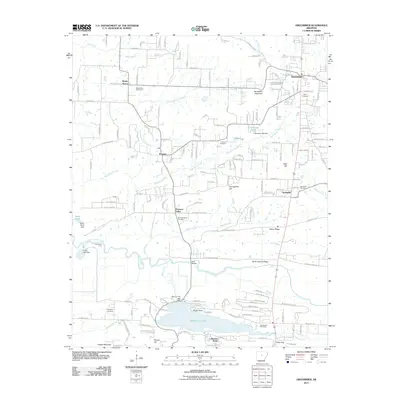 2011 Greenbrier2011 Print · USGSNorth of Conway in the early twenty-first century, this landscape shows the growth of residential communities alongside historic rural landmarks. Researchers can trace family roots through numerous sites like Bethlehem Cemetery, King Bridge, and Springhill.
 - 2011 Map of Jerusalem, 2011 Print
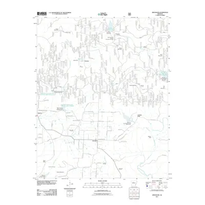 2011 Jerusalem2011 Print · USGSThe foothills of the Ozarks come into focus in the early twenty-first century, centering on the rural community of Jerusalem. Local historians can trace family roots through numerous sites like Rocky Valley Cemetery and locate the Jerusalem Post Office.
 - 2011 Map of Adona, 2011 Print
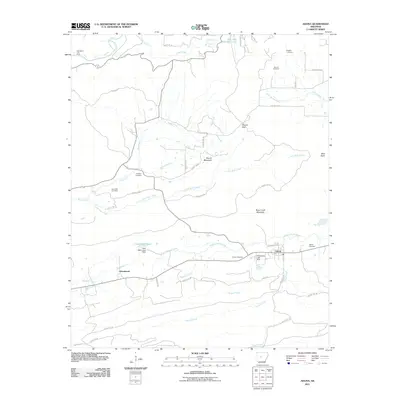 2011 Adona2011 Print · USGSIn the valley of the Petit Jean River, this 2011 map reveals a rural landscape shaped by rail transport and upland terrain. Researchers can locate numerous family burial grounds including Aunt Dilly and Fowler Cemetery, or trace the tracks of the RAILROAD through Adona.
 - 2011 Map of Houston, 2011 Print
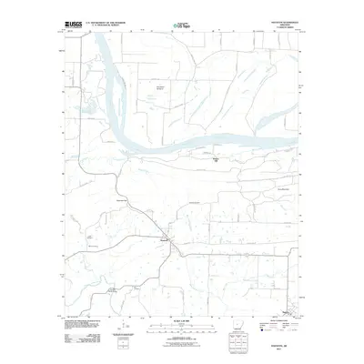 2011 Houston2011 Print · USGSThe rural landscape around Houston and Bigelow is captured here during the early twenty-first century, showing the intersection of river life and ridge-top settlements. Researchers can trace local genealogy and landmarks through Houston Cemetery, Council Bluffs Bridge, and Copperas Gap.
 - 2011 Map of Morrilton East, 2011 Print
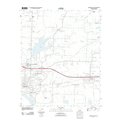 2011 Morrilton East2011 Print · USGSThe Arkansas River Valley near MORRILTON and Plumerville was a bustling transport corridor in the early twenty-first century. Researchers can trace family history through several sites like Salem Cemetery and Scroggin Cemetery or locate landmarks such as Lake Overcup.
 - 2011 Map of Morrilton West, 2011 Print
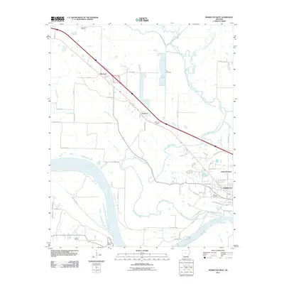 2011 Morrilton West2011 Print · USGSThe Arkansas River valley near Morrilton is captured here in the early twenty-first century, showing the region's balance of riverside industry and growing residential grids. Researchers can trace family sites from Morrilton out to Blackwell or locate rural landmarks like Happy Bend Cemetery and Stouts Point.
 - 2011 Map of Atkins, 2011 Print
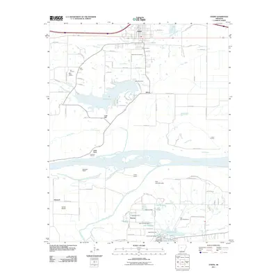 2011 Atkins2011 Print · USGSThe Arkansas River valley at the start of the 2010s shows a landscape of river-bottom agriculture and mountain recreation. Researchers can trace family history at Atkins Cemetery and Bells Chapel, or explore the development of Petit Jean State Park.
 - 2011 Map of Solgohachia, 2011 Print
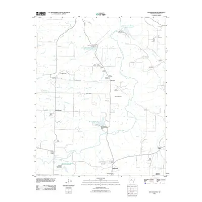 2011 Solgohachia2011 Print · USGSIn the hills of Conway County during the early 2010s, this landscape shows a complex network of reservoirs and rural settlements. Genealogists and local historians can locate many family burial sites, including Saint Marys Cemetery and Mount Abel Cemetery, alongside the Solgohachia Post Office.
 - 2011 Map of Gleason, 2011 Print
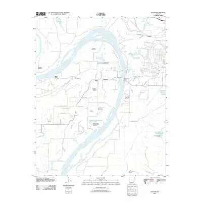 2011 Gleason2011 Print · USGSThe riverfront communities and ferry crossings west of Conway are captured here in the early twenty-first century. Researchers can locate family sites near Salem Cemetery, the historic Toad Suck Ferry, and the settlement of Stony Point.
 - 2011 Map of Hattieville, 2011 Print
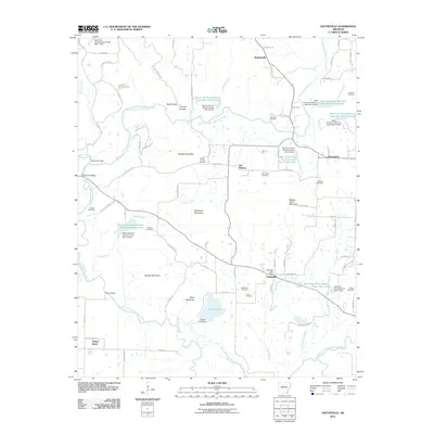 2011 Hattieville2011 Print · USGSThe rural landscape of Conway County comes into focus in this early twenty-first-century survey of the Hattieville area. Researchers can trace family history at numerous burial sites like Mount Vernon Cemetery or Beeson Cemetery and locate the historic Old Hickory Gas Field.
 - 2011 Map of Damascus, 2011 Print
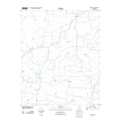 2011 Damascus2011 Print · USGSNorth of Greenbrier in the early twenty-first century, this landscape shows the rural communities of the Arkansas foothills. Genealogists can locate several family burial sites including Spires Cemetery and trace historical crossings like Quinn Ford and Fishtrap Bridge.
 - 2011 Map of Perryville, 2011 Print
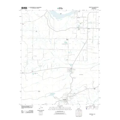 2011 Perryville2011 Print · USGSPerry County as it appeared in the early twenty-first century shows a landscape of river valleys and rural settlements centered around Perryville. Researchers can locate several historic family burial sites like Wolfe Cemetery and Harper Cemetery, or trace the winding course of the Fourche-LaFave River.
 - 2011 Map of Menifee, 2011 Print
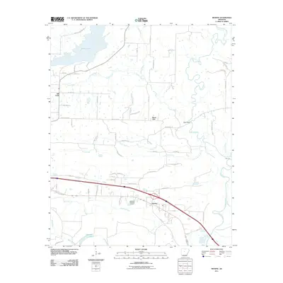 2011 Menifee2011 Print · USGSConway County at the start of the 2010s reveals a rural landscape defined by the winding Cadron Creek and the waters of Brewer Lake. Local historians can trace family land near Menifee or locate landmarks like Slaty Ford and the Arkansas Noname 24 Dam.
 - 2011 Map of Casa, 2011 Print
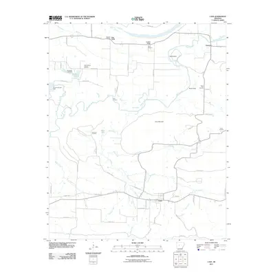 2011 Casa2011 Print · USGSThe rural Perry County landscape near Casa is meticulously detailed in this early 21st-century survey. Family historians can trace numerous burial sites and small settlements including Needmore Cemetery, Cotton Town, and the Slaty Crossing Catholic Cemetery.
 - 2014 Map of Perryville, 2014 Print
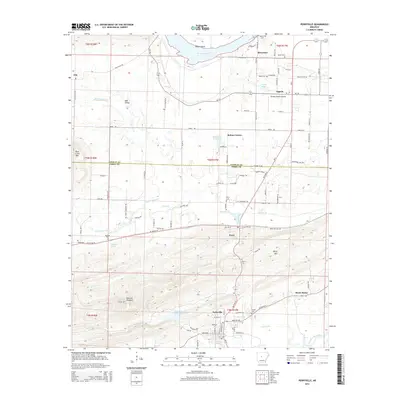 2014 Perryville2014 Print · USGSPerryville and the Arkansas River valley are shown in the early twenty-first century as established agricultural and transit corridors. Genealogists can trace family footprints at Wolfe Cem and McGhee Cem or locate old homesteads near Rehms Corner and Ada Valley.
 - 2014 Map of Damascus, 2014 Print
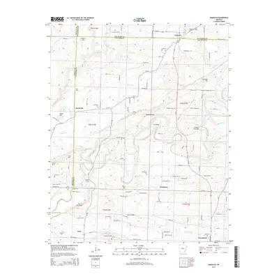 2014 Damascus2014 Print · USGSFaulkner and Van Buren Counties meet at the crossing of mountain ridges and creek bottoms in the 2010s. Genealogists can trace family names at Republican Cemetery and Spires Cem, or locate historic crossings like Fishtrap Bridge on the Cadron Creek.
 - 2014 Map of Solgohachia, 2014 Print
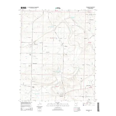 2014 Solgohachia2014 Print · USGSConway County communities like Solgohachia and Lanty are detailed in this recent survey of the Arkansas uplands. Trace family history through numerous rural burial sites like Saint Marys Cem or locate the Wesley Chapel near the East Fork Point Remove Creek.
 - 2014 Map of Jerusalem, 2014 Print
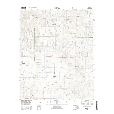 2014 Jerusalem2014 Print · USGSJerusalem and the southern Ozark foothills are captured here in 2014, showing a landscape of small settlements and energy production. Researchers can trace family roots at Cato Cem, locate the Mt Zion Church, or explore the Jerusalem Gas Field.
 - 2014 Map of Morrilton West, 2014 Print
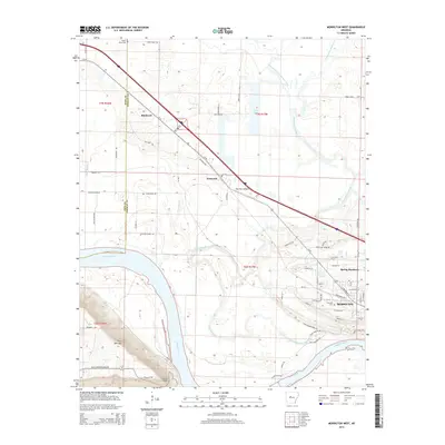 2014 Morrilton West2014 Print · USGSThe western edges of Morrilton and the northern bluff of Petit Jean Mountain are captured here in the early twenty-first century. Genealogists and local historians can trace family-named routes like Dixon Ellis Rd or locate rural burials at Happy Bend Cem and Elmwood Cem.
 - 2014 Map of Greenbrier, 2014 Print
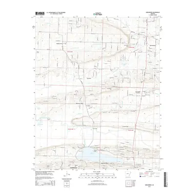 2014 Greenbrier2014 Print · USGSFaulkner County's rolling landscape north of Conway is documented here during the early twenty-first century. Researchers can locate many family-named landmarks and historic burial grounds such as Pearson Cem, Friendship Cem, and the notable King Bridge over the creek.
 - 2014 Map of Hattieville, 2014 Print
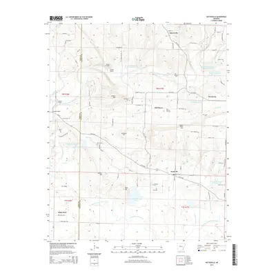 2014 Hattieville2014 Print · USGSConway County near the Pope County line is shown here in the 2010s, a landscape defined by mountain peaks and a complex series of creek reservoirs. Researchers can trace family sites like Dunham Cem, the rural hub of Old Hickory, and the Old Hickory Gas Field.
Showing maps 1-25 of 90
Top cities of Conway County
Frequently asked questions
- What are the different types of historical maps available for Conway County?
- What is the oldest map of Conway County?
- Where can I purchase historical maps of Conway County for my home or office?
- Where can I download high-res historical maps of Conway County?
- Are there historical topographic maps available for Conway County?
- Is there historical aerial imagery available for Conway County?
- Where are historical maps of Conway County sourced from?