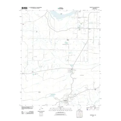
2011 Map of Perryville
USGS Topo · Published 2011About this map
Perryville serves as the focal point of this Central Arkansas landscape, situated where Cedar Creek meets the broader valley floor near the Fourche-LaFave River. The settlement pattern follows a network of rural roads connecting small communities like Ada, Oppelo, and Rehms Corner. Water management is a defining characteristic of the terrain, evidenced by several small reservoirs and dams including the Timberlake Reservoir and Womack Lake. To the north, the Arkansas River meanders through Willow Bend, while prominent elevations like Perry Mountain and the distinct Fourche Pinnacle provide topographic contrast to the river bottoms.
Find a feature on this map
88 named features on this map. Tap any name to fly to it.
Don’t see what you’re looking for? This feature index may not catch every label — zoom into the map to look around manually.
Map Details
Editions of this 2011 Perryville Map
This is the sole edition of this map. No revisions or reprints were ever made.
Other maps of this area

1889 · Morrilton No. 3
USGS Topo · 1:62,500

1890 · Benton
USGS Topo · 1:125,000

1892 · Morrillton
USGS Topo · 1:125,000

1894 · Morrillton
USGS Topo · 1:125,000

1894 · Benton
USGS Topo · 1:125,000

1955 · Little Rock
USGS Topo · 1:250,000

1956 · Little Rock
USGS Topo · 1:250,000

1956 · Russellville
USGS Topo · 1:250,000

1960 · Little Rock
USGS Topo · 1:250,000

1961 · Perryville
USGS Topo · 1:24,000