Old Maps of Cedarville, Arkansas for Hiking & Exploration
Hike through history with 20 historic maps of Cedarville. Explore old trails, ghost towns, and forgotten backroads — perfect for outdoor adventurers and local explorers.
- Rediscover forgotten places: Map out old mining camps, roads, and footpaths that no longer exist on modern maps.
- Layer with modern tools: Combine with LiDAR or satellite views to plan hikes through historical terrain.
- Made for exploration: Popular among hikers, overlanders, and local history lovers.
Use these maps to find adventure and explore the hidden past of Cedarville.
Cedarville, AR maps
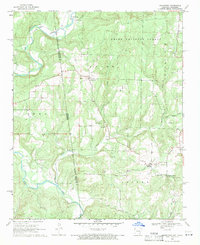
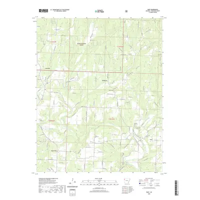
(20)- 1898 Map of Winslow #3
 1898 Winslow #31898 Print · USGSCrawford County's rugged upland terrain is captured in the late 1890s just as the railroad began to transform the local economy. Researchers can trace early rural settlements like Uniontown and Cedarville or follow the St. L. & S. F. R. R. along Frog Bayou.
 - 1898 Map of Winslow, 1954 Print
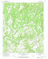
 1898 Winslow1954 Print · USGSNorthwest Arkansas and the adjacent Indian Territory are captured here in the late nineteenth century as the railroad began to transform the high Ozarks. Genealogists can trace early homesteads and transport routes like the Quesenbury Road, Rheas Mill, and the mountain town of Winslow.
 - 1901 Map of Winslow
 1901 Winslow1901 Print · USGSThe Boston Mountains and the Arkansas border are captured here at the close of the nineteenth century, documenting the critical rail passage through the Ozarks. Genealogists and historians can trace the Frisco Line, the historic Old Wire Road, and early settlements like Cove City and Cane Hill.5 unique versions available
 - 1946 Map of Fort Smith
 1946 Fort Smith1946 Print · USGSThe Arkansas-Oklahoma borderlands appear here in the mid-forties, as new reservoirs began to transform the river valleys. Genealogists and historians can trace rail-served towns from Muskogee to Fort Smith and locate landmarks like Camp Chaffee.
 - 1965 Map of Fort Smith
 1965 Fort Smith1965 Print · USGSEastern Oklahoma and Western Arkansas are captured here during a period of massive post-war change as new reservoirs reshaped the river valleys. Genealogists and historians can trace the rail networks of the Midland Valley RR and find established communities like Stilwell, Sallisaw, and Stigler.
 - 1967 Map of Fort Smith
 1967 Fort Smith1967 Print · USGSThe Arkansas River valley and the foothills of the Ozarks are captured here during a period of significant military and industrial activity. Researchers can trace the sprawling bounds of Camp Chaffee and Camp Gruber or locate vanished rail stops along the Midland Valley RR.
 - 1969 Map of Uniontown, 1971 Print
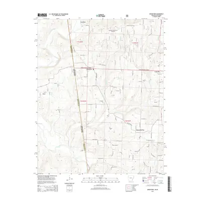
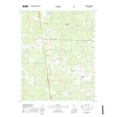
 1969 Uniontown1971 Print · USGSThe Arkansas-Oklahoma state line and the Old Indian Treaty Boundary intersect in this 1960s survey of the Ozark foothills. Researchers can trace historic family burial sites like Spears Cem and Woods Cem or locate rural landmarks such as Dripping Springs and Barcelona.3 unique versions available
 - 1969 Map of Rudy, 1971 Print
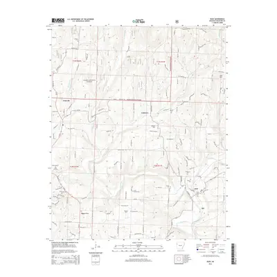
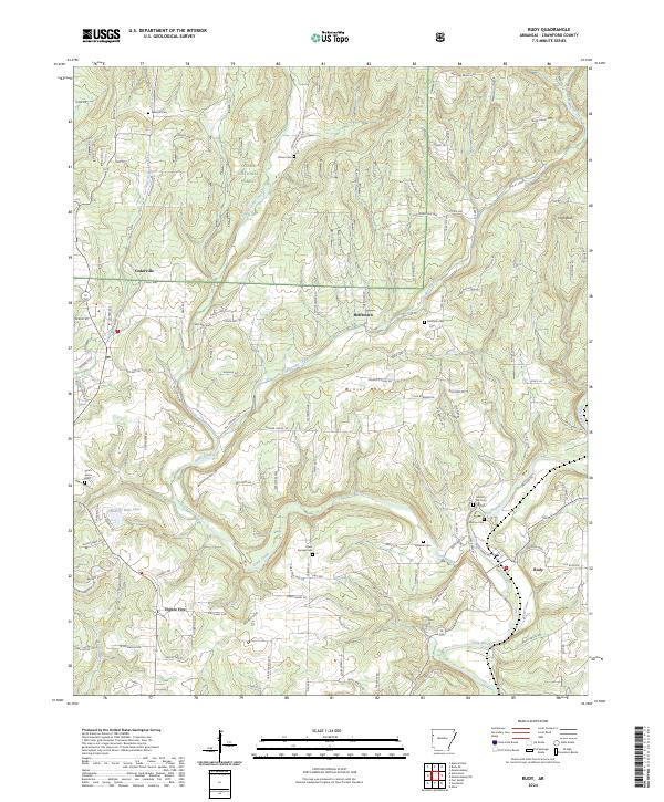
 1969 Rudy1971 Print · USGSCrawford County's rural landscape is captured here in the late sixties as the rail-and-river economy centered on Rudy remained firmly in place. Genealogists can trace family histories through a high density of rural burial sites and meeting houses, including Sarah Grove Cem, McCurry Cem, and Oliver Springs Ch.4 unique versions available
 - 1978 Map of Fort Smith, 1979 Print
 1978 Fort Smith1979 Print · USGSThe Arkansas-Oklahoma borderlands in the late seventies show a landscape shaped by massive river reservoirs and sprawling military reservations. Trace the historic rail lines of the Missouri Pacific RR and locate regional landmarks like Fort Gibson, Tenkiller Ferry Lake, and Barling.2 unique versions available
 - 1978 Map of Stilwell, 1979 Print
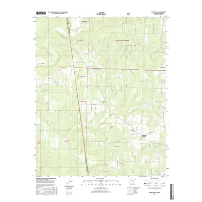
 1978 Stilwell1979 Print · USGSThe Oklahoma-Arkansas borderlands come alive in the late seventies, showing the transition from the Cherokee Nation hills to the Arkansas Ozarks. Researchers can trace the Kansas City Southern rail line through Stilwell, find Wrights Chapel, or locate the Northeastern State College campus in Tahlequah.
 - 2011 Map of Rudy, 2011 Print
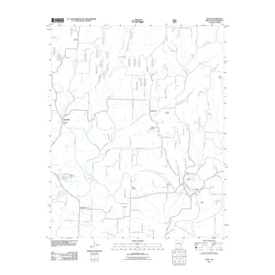 2011 Rudy2011 Print · USGSCovers Cedarville, including Alma, Rudy, and other nearby areas
 - 2011 Map of Uniontown, 2011 Print
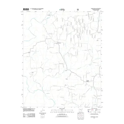 2011 Uniontown2011 Print · USGSCovers Cedarville, including Short, Dripping Springs, and other nearby areas
 - 2014 Map of Uniontown, 2014 Print
 2014 Uniontown2014 Print · USGSCovers Cedarville, including Short, Dripping Springs, and other nearby areas
 - 2014 Map of Rudy, 2014 Print
 2014 Rudy2014 Print · USGSCovers Cedarville, including Alma, Rudy, and other nearby areas
 - 2017 Map of Uniontown, 2017 Print
 2017 Uniontown2017 Print · USGSCovers Cedarville, including Short, Dripping Springs, and other nearby areas
 - 2017 Map of Rudy, 2017 Print
 2017 Rudy2017 Print · USGSCovers Cedarville, including Alma, Rudy, and other nearby areas
 - 2020 Map of Rudy, 2020 Print
 2020 Rudy2020 Print · USGSCovers Cedarville, including Alma, Rudy, and other nearby areas
 - 2020 Map of Uniontown, 2020 Print
 2020 Uniontown2020 Print · USGSCovers Cedarville, including Short, Dripping Springs, and other nearby areas
 - 2024 Map of Rudy, 2024 Print
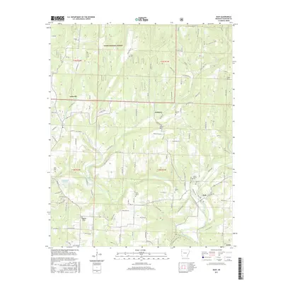
 2024 Rudy2024 Print · USGSCrawford County settlements and the Ozark foothills are captured here in the contemporary era. Researchers can locate numerous family burial grounds including Sarah Grove Cem and Oliver Springs Cem, or trace the winding waters of Frog Bayou.
 - 2024 Map of Uniontown, 2024 Print
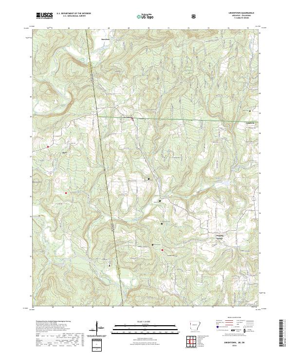 2024 Uniontown2024 Print · USGSThe Oklahoma-Arkansas state line cuts through this rural landscape as the modern era maintains its quiet, traditional settlement patterns. Researchers can trace family history through numerous burial sites like Macedonia Cem and Woods Cem or explore the drainage of Lee Creek.
End of results
Showing maps 1-20 of 20
Top cities near Cedarville
- Fort Smith historical maps
- Van Buren historical maps
- Alma historical maps
- Muldrow historical maps
- Roland historical maps
- Lavaca historical maps
See more
Frequently asked questions
- What are the different types of historical maps available for Cedarville?
- What is the oldest map of Cedarville?
- Where can I purchase historical maps of Cedarville for my home or office?
- Where can I download high-res historical maps of Cedarville?
- Are there historical topographic maps available for Cedarville?
- Is there historical aerial imagery available for Cedarville?
- Where are historical maps of Cedarville sourced from?