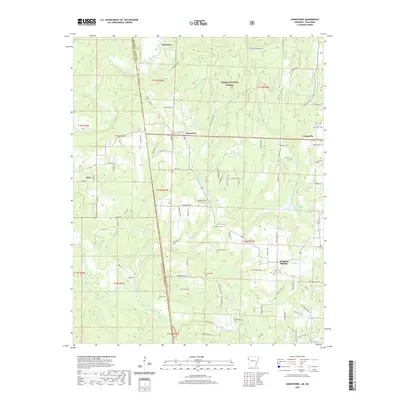
2020 Map of Uniontown
USGS Topo · Published 2020About this map
Uniontown and Cedarville anchor this western Arkansas landscape along the Oklahoma border, where the terrain transitions from the protected timberlands of the Ozark National Forest to the creek-carved valleys of the south. The interstate boundary separates Crawford County from Sequoyah County, cutting through a series of rural homesteads and winding roads like Barcelona Rd and Rustic Dr. The area is notably dense with small family or community burial grounds, including Thompson Cem, Woods Cem, and Macedonia Cem, which offer significant value for genealogical research in this borderland region.
Find a feature on this map
91 named features on this map. Tap any name to fly to it.
Don’t see what you’re looking for? This feature index may not catch every label — zoom into the map to look around manually.
Map Details
Editions of this 2020 Uniontown Map
This is the sole edition of this map. No revisions or reprints were ever made.
Other maps of this area

1879 · Fort Smith
USGS Topo · 1:62,500

1887 · Van Buren
USGS Topo · 1:62,500

1890 · Fort Smith
USGS Topo · 1:125,000

1898 · Winslow #3
USGS Topo · 1:62,500

1898 · Tahlequah
USGS Topo · 1:125,000

1898 · Winslow
USGS Topo · 1:125,000

1900 · Sallisaw
USGS Topo · 1:125,000

1901 · Winslow
USGS Topo · 1:125,000

1901 · Tahlequah
USGS Topo · 1:125,000

1905 · Tahlequah
USGS Topo · 1:125,000