2000s (21st Century) Maps of Parkin, Arkansas
Explore 10 historic maps of Parkin from the 2000s (21st Century). These maps offer a rare glimpse into what life looked like during the 2000s — showing old roads, neighborhoods, homes, and landmarks that have changed or disappeared over time.
Whether you're researching your family's past, planning a metal detecting trip, or studying how Parkin's landscape evolved across the 2000s, these high-resolution maps are a powerful tool for exploring the history of this region.
- Focus on a specific era: All maps on this page are from the 2000s, giving you a focused view of this time period.
- See what’s changed: Compare century-old streets, trails, and buildings to today's modern landscape using overlays and satellite layers.
- Research with precision: Use these maps for genealogy, historical research, land use analysis, or educational projects.
- View, download, or print: Maps are fully viewable online in high resolution, and can be downloaded or printed for your own records.
Start exploring Parkin's history through authentic maps from the 2000s. This is your window into the past.
Parkin, AR maps
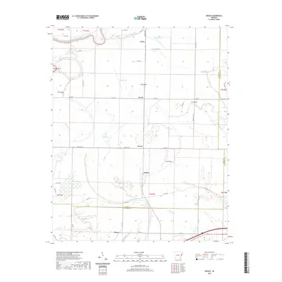
(10)- 2011 Map of Gieseck, 2011 Print
 2011 Gieseck2011 Print · USGSCovers Parkin, including Gladden, Duvall, and other nearby areas
 - 2011 Map of Parkin, 2011 Print
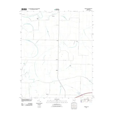
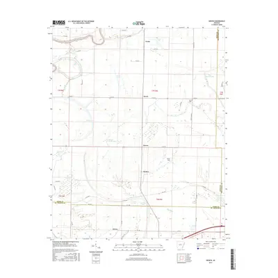
 2011 Parkin2011 Print · USGSCovers Parkin, including Yarbo Place, Smithdale, and other nearby areas
 - 2014 Map of Parkin, 2014 Print
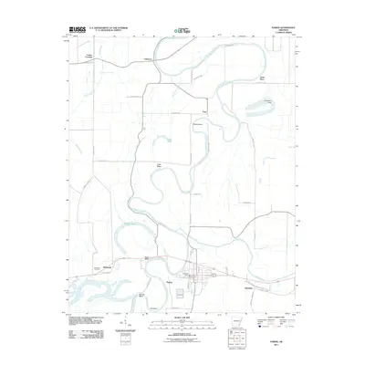
 2014 Parkin2014 Print · USGSCovers Parkin, including Yarbo Place, Smithdale, and other nearby areas
 - 2014 Map of Gieseck, 2014 Print
 2014 Gieseck2014 Print · USGSCovers Parkin, including Gladden, Duvall, and other nearby areas
 - 2017 Map of Gieseck, 2017 Print
 2017 Gieseck2017 Print · USGSCovers Parkin, including Gladden, Duvall, and other nearby areas
 - 2017 Map of Parkin, 2017 Print
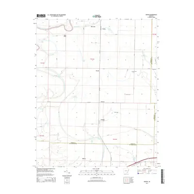
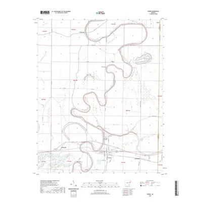
 2017 Parkin2017 Print · USGSCovers Parkin, including Yarbo Place, Smithdale, and other nearby areas
 - 2020 Map of Parkin, 2020 Print
 2020 Parkin2020 Print · USGSCovers Parkin, including Yarbo Place, Smithdale, and other nearby areas
 - 2020 Map of Gieseck, 2020 Print
 2020 Gieseck2020 Print · USGSCovers Parkin, including Gladden, Duvall, and other nearby areas
 - 2024 Map of Parkin, 2024 Print
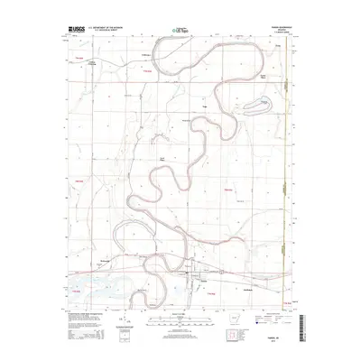
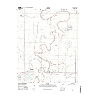
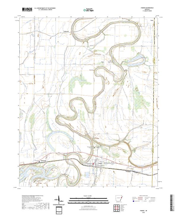 2024 Parkin2024 Print · USGSThe Arkansas Delta comes alive on this map, showing the winding river bends and historic settlements of Cross County in the early twenty-first century. Researchers can trace the oxbows of the Saint Francis River and locate Parkin Archeological State Park Cem or the site of Old Neelys Ferry.
 - 2024 Map of Gieseck, 2024 Print
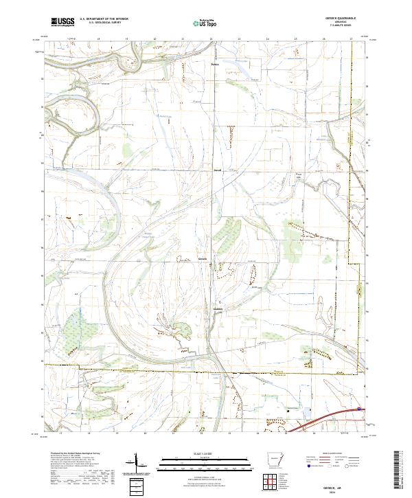 2024 Gieseck2024 Print · USGSCross County, Arkansas, is captured here in its modern agricultural character, defined by the winding Saint Francis River and its many bayous. Genealogists and local historians can trace the rural communities of Gieseck and Gladden or locate family roots near Jackson Cem.
End of results
Showing maps 1-10 of 10
Top cities near Parkin
- Forrest City historical maps
- Wynne historical maps
- Earle historical maps
- Tyronza historical maps
- Cherry Valley historical maps
- Crawfordsville historical maps
See more
Frequently asked questions
- What are the different types of historical maps available for Parkin?
- What is the oldest map of Parkin?
- Where can I purchase historical maps of Parkin for my home or office?
- Where can I download high-res historical maps of Parkin?
- Are there historical topographic maps available for Parkin?
- Is there historical aerial imagery available for Parkin?
- Where are historical maps of Parkin sourced from?