2020s Maps of Desha County, Arkansas
Explore 50 historic maps of Desha County from the 2020s. These maps offer a rare glimpse into what life looked like during the 2020s — showing old roads, neighborhoods, homes, and landmarks that have changed or disappeared over time.
Whether you're researching your family's past, planning a metal detecting trip, or studying how Desha County's landscape evolved across the 2020s, these high-resolution maps are a powerful tool for exploring the history of this region.
- Focus on a specific era: All maps on this page are from the 2020s, giving you a focused view of this time period.
- See what’s changed: Compare century-old streets, trails, and buildings to today's modern landscape using overlays and satellite layers.
- Research with precision: Use these maps for genealogy, historical research, land use analysis, or educational projects.
- View, download, or print: Maps are fully viewable online in high resolution, and can be downloaded or printed for your own records.
Start exploring Desha County's history through authentic maps from the 2020s. This is your window into the past.
Desha County, AR maps
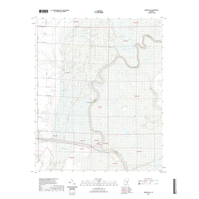
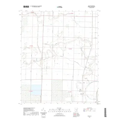
(50)- 2020 Map of McGehee North, 2020 Print
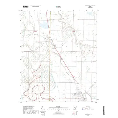 2020 McGehee North2020 Print · USGSCovers Desha County, including McGehee, Tillar, and other nearby areas
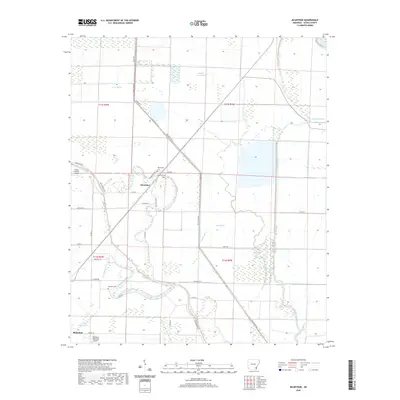
 - 2020 Map of Winchester, 2020 Print
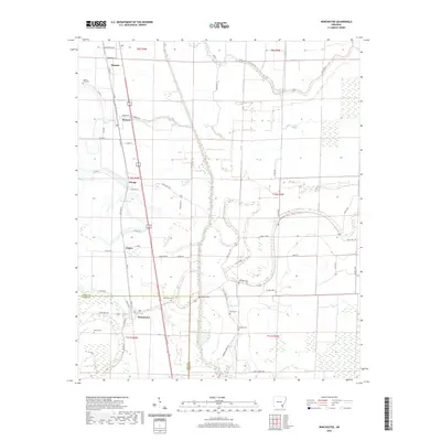 2020 Winchester2020 Print · USGSCovers Desha County, including Dumas, Winchester, and other nearby areas
 - 2020 Map of McGehee South, 2020 Print
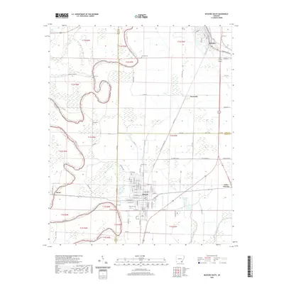 2020 McGehee South2020 Print · USGSCovers Desha County, including McGehee, Dermott, and other nearby areas
 - 2020 Map of Dumas, 2020 Print
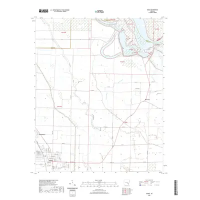 2020 Dumas2020 Print · USGSCovers Desha County, including Dumas, Mitchellville, and other nearby areas
 - 2020 Map of Gourd, 2020 Print
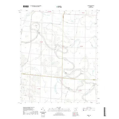 2020 Gourd2020 Print · USGSCovers Desha County, including Gourd, Drew County, and other nearby areas
 - 2020 Map of Gould, 2020 Print
 2020 Gould2020 Print · USGSCovers Desha County, including Dumas, Gould, and other nearby areas
 - 2020 Map of Gillett, 2020 Print
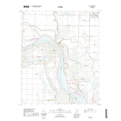 2020 Gillett2020 Print · USGSCovers Desha County, including Gillett, Jefferson County, and other nearby areas
 - 2020 Map of Arkansas Post, 2020 Print
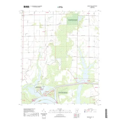 2020 Arkansas Post2020 Print · USGSCovers Desha County, including Gillett, Arkansas Post, and other nearby areas
 - 2020 Map of Henrico SW, 2020 Print
 2020 Henrico SW2020 Print · USGSCovers Desha County, including Prairie Landing, Jacks Bay Landing, and other nearby areas
 - 2020 Map of McArthur, 2020 Print
 2020 McArthur2020 Print · USGSCovers Desha County, including McGehee, McArthur, and other nearby areas
 - 2020 Map of Montgomery Island, 2020 Print
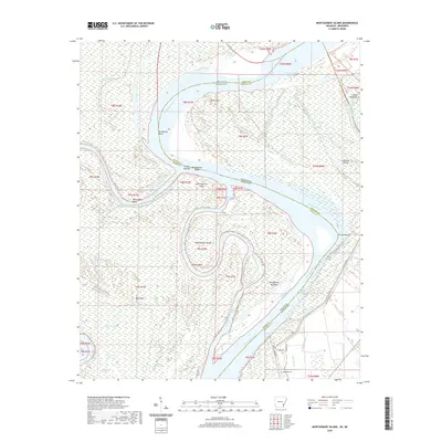 2020 Montgomery Island2020 Print · USGSCovers Desha County, including Terrene Landing, White River, and other nearby areas
 - 2020 Map of Lake Cheatham, 2020 Print
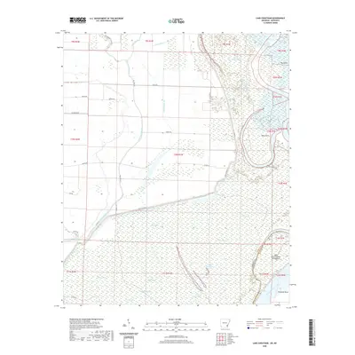 2020 Lake Cheatham2020 Print · USGSCovers Desha County, including Wargo Landing, Bolivar County, and other nearby areas
 - 2020 Map of Halley, 2020 Print
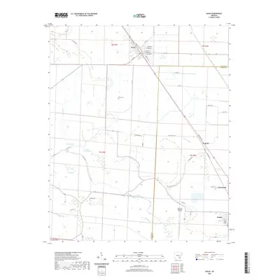
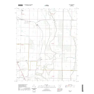 2020 Halley2020 Print · USGSCovers Desha County, including McGehee, Bellaire, and other nearby areas
 - 2020 Map of Watson, 2020 Print
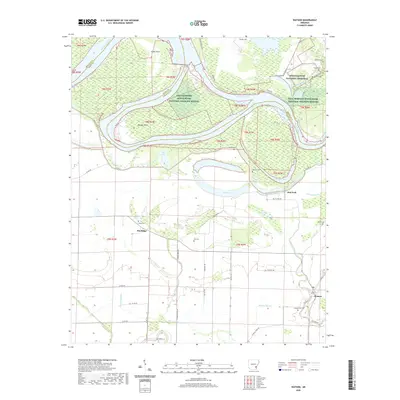 2020 Watson2020 Print · USGSCovers Desha County, including Watson, Pea Ridge, and other nearby areas
 - 2020 Map of Snow Lake, 2020 Print
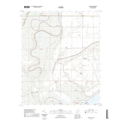 2020 Snow Lake2020 Print · USGSCovers Desha County, including Snow Lake, Mozart, and other nearby areas
 - 2020 Map of Yancopin, 2020 Print
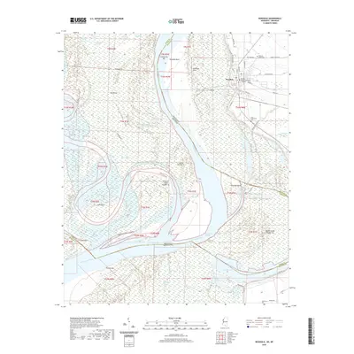
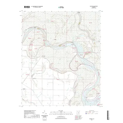 2020 Yancopin2020 Print · USGSCovers Desha County, including Watson, Yancopin, and other nearby areas
 - 2020 Map of Kelso, 2020 Print
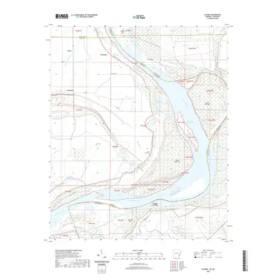
 2020 Kelso2020 Print · USGSCovers Desha County, including Duce, Kelso, and other nearby areas
 - 2020 Map of Arkansas City, 2020 Print
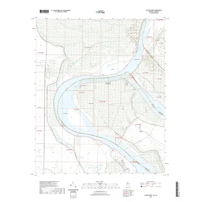
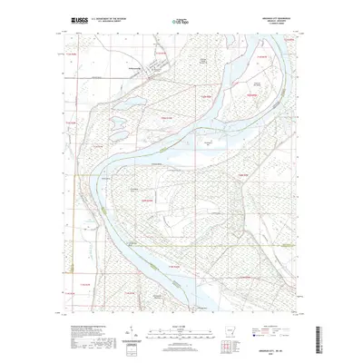 2020 Arkansas City2020 Print · USGSCovers Desha County, including Arkansas City, Mound Landing, and other nearby areas
 - 2020 Map of Laconia, 2020 Print
 2020 Laconia2020 Print · USGSCovers Desha County, including Dennis Landing, Mason Landing, and other nearby areas
 - 2020 Map of Rosedale, 2020 Print
 2020 Rosedale2020 Print · USGSCovers Desha County, including Rosedale, Riverton Landing, and other nearby areas
 - 2020 Map of Benoit, 2020 Print
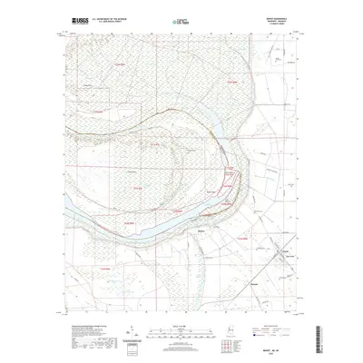 2020 Benoit2020 Print · USGSCovers Desha County, including Benoit, Niblett Landing, and other nearby areas
 - 2020 Map of Catfish Point, 2020 Print
 2020 Catfish Point2020 Print · USGSCovers Desha County, including Eutaw, Catfish Point Landing, and other nearby areas
 - 2020 Map of Round Lake, 2020 Print
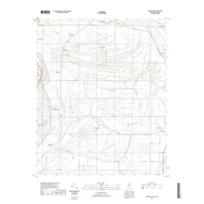 2020 Round Lake2020 Print · USGSCovers Desha County, including Duncan, Eldridge, and other nearby areas
 - 2020 Map of Gunnison, 2020 Print
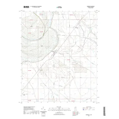 2020 Gunnison2020 Print · USGSCovers Desha County, including Gunnison, Waxhaw, and other nearby areas
 - 2020 Map of Beulah, 2020 Print
 2020 Beulah2020 Print · USGSCovers Desha County, including Beulah, Christmas, and other nearby areas
Showing maps 1-25 of 50
Top cities of Desha County
- McGehee historical maps
- Dumas historical maps
- Arkansas City historical maps
- Mitchellville historical maps
- Watson historical maps
- Reed historical maps
Frequently asked questions
- What are the different types of historical maps available for Desha County?
- What is the oldest map of Desha County?
- Where can I purchase historical maps of Desha County for my home or office?
- Where can I download high-res historical maps of Desha County?
- Are there historical topographic maps available for Desha County?
- Is there historical aerial imagery available for Desha County?
- Where are historical maps of Desha County sourced from?