2020s Maps of Fulton County, Arkansas
Explore 29 historic maps of Fulton County from the 2020s. These maps offer a rare glimpse into what life looked like during the 2020s — showing old roads, neighborhoods, homes, and landmarks that have changed or disappeared over time.
Whether you're researching your family's past, planning a metal detecting trip, or studying how Fulton County's landscape evolved across the 2020s, these high-resolution maps are a powerful tool for exploring the history of this region.
- Focus on a specific era: All maps on this page are from the 2020s, giving you a focused view of this time period.
- See what’s changed: Compare century-old streets, trails, and buildings to today's modern landscape using overlays and satellite layers.
- Research with precision: Use these maps for genealogy, historical research, land use analysis, or educational projects.
- View, download, or print: Maps are fully viewable online in high resolution, and can be downloaded or printed for your own records.
Start exploring Fulton County's history through authentic maps from the 2020s. This is your window into the past.
Fulton County, AR maps
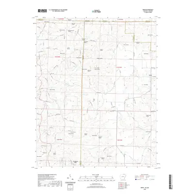
(29)- 2020 Map of Byron, 2020 Print
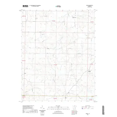 2020 Byron2020 Print · USGSCovers Fulton County, including Oxford, Bexar, and other nearby areas
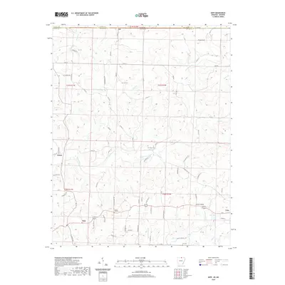
 - 2020 Map of Hardy, 2020 Print
 2020 Hardy2020 Print · USGSCovers Fulton County, including Highland, Hardy, and other nearby areas
 - 2020 Map of Salem, 2020 Print
 2020 Salem2020 Print · USGSCovers Fulton County, including Horseshoe Bend, Salem, and other nearby areas
 - 2020 Map of Mammoth Spring, 2020 Print
 2020 Mammoth Spring2020 Print · USGSCovers Fulton County, including Mammoth Spring, Baker Ford, and other nearby areas
 - 2020 Map of Viola, 2020 Print
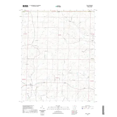 2020 Viola2020 Print · USGSCovers Fulton County, including Viola, Flint Springs, and other nearby areas
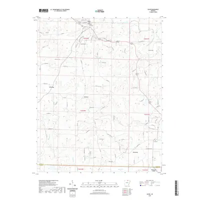
 - 2020 Map of Agnos, 2020 Print
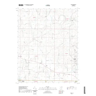 2020 Agnos2020 Print · USGSCovers Fulton County, including Cherokee Village, Horseshoe Bend, and other nearby areas
 - 2020 Map of Camp, 2020 Print
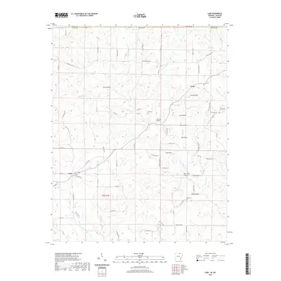 2020 Camp2020 Print · USGSCovers Fulton County, including Camp, Fryatt, and other nearby areas
 - 2020 Map of Salem Knob, 2020 Print
 2020 Salem Knob2020 Print · USGSCovers Fulton County, including Salem, Moko, and other nearby areas
 - 2020 Map of Wirth, 2020 Print
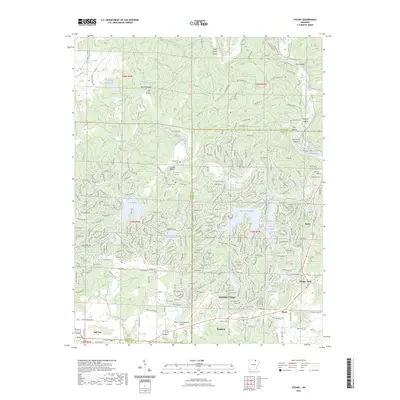
 2020 Wirth2020 Print · USGSCovers Fulton County, including Wirth, Woodland Hills, and other nearby areas
 - 2020 Map of Gepp, 2020 Print
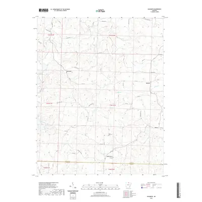
 2020 Gepp2020 Print · USGSCovers Fulton County, including Viola, Ott, and other nearby areas
 - 2020 Map of Norfork Dam North, 2020 Print
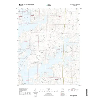 2020 Norfork Dam North2020 Print · USGSCovers Fulton County, including Diamond Bay, Sycamore Spring, and other nearby areas
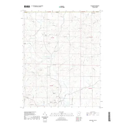
 - 2020 Map of Gamaliel, 2020 Print
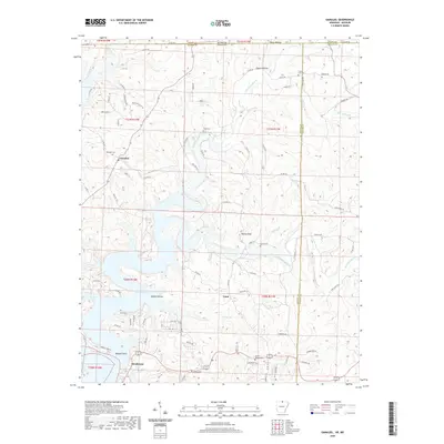 2020 Gamaliel2020 Print · USGSCovers Fulton County, including County Line, Cumi, and other nearby areas
 - 2020 Map of Stuart, 2020 Print
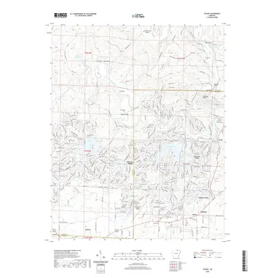 2020 Stuart2020 Print · USGSCovers Fulton County, including Cherokee Village, Ash Flat, and other nearby areas
 - 2020 Map of Elizabeth, 2020 Print
 2020 Elizabeth2020 Print · USGSCovers Fulton County, including Mitchell, Elizabeth, and other nearby areas
 - 2023 Map of Stuart, 2023 Print
 2023 Stuart2023 Print · USGSCovers Fulton County, including Cherokee Village, Ash Flat, and other nearby areas
 - 2024 Map of Elizabeth, 2024 Print
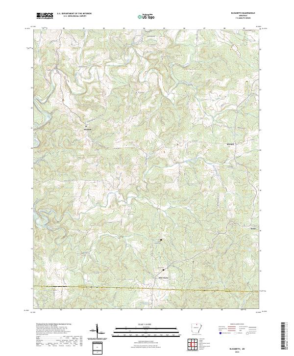 2024 Elizabeth2024 Print · USGSFulton and Izard Counties at the edge of the Ozarks are documented here in a modern survey of their rural landscapes. Genealogists and local historians can trace the roads connecting Wild Cherry, Elizabeth, and Bexar, or locate burial sites at Myse Cem.
 - 2024 Map of Gepp, 2024 Print
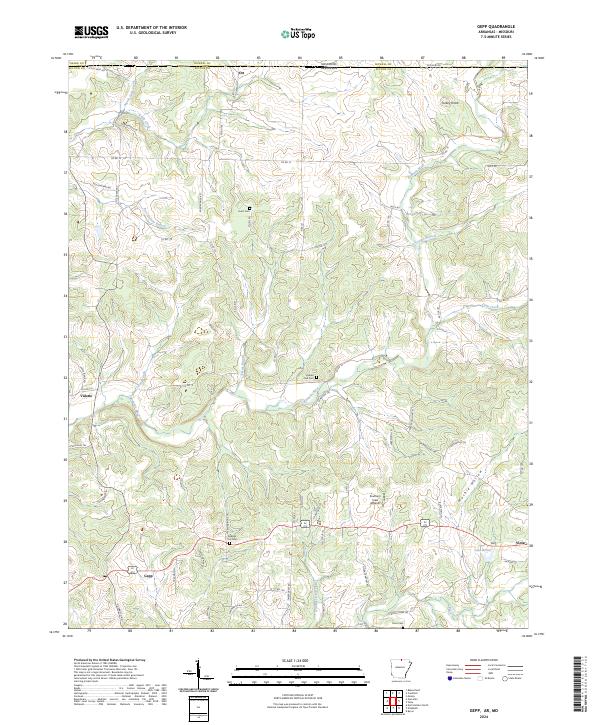 2024 Gepp2024 Print · USGSThe Missouri-Arkansas border region in the early twenty-first century is defined by its winding waterways and scattered hill communities. Researchers can trace local heritage through landmarks like Gobbler Trot Cem, the settlement at Gepp, and the course of Bennetts River.
 - 2024 Map of Byron, 2024 Print
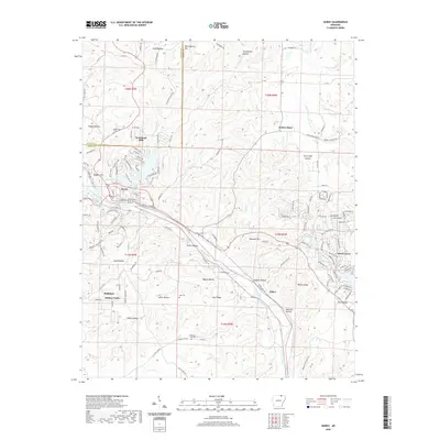
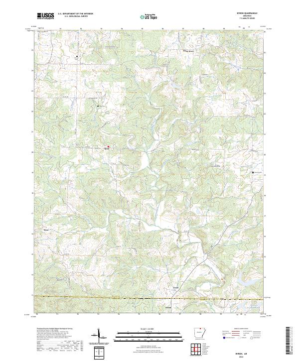 2024 Byron2024 Print · USGSFulton County and the northern edge of Izard County come into focus in this recent survey of the rural Arkansas hills. Genealogists and local historians can trace family roots through sites like Liberty Cem, Talley Cem, and the small crossroads of Bexar and Byron.
 - 2024 Map of Salem Knob, 2024 Print
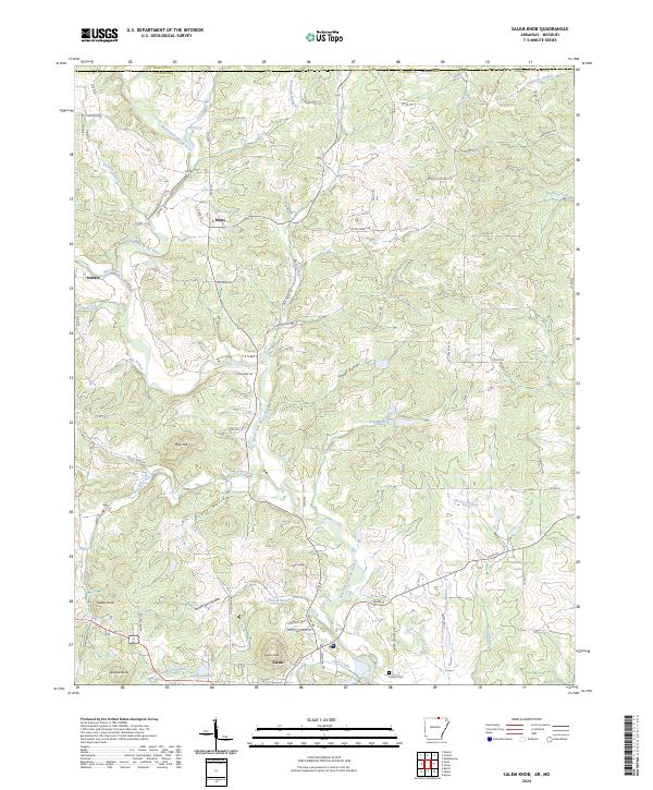 2024 Salem Knob2024 Print · USGSFulton County and the Arkansas-Missouri borderlands are captured here in the contemporary era. Researchers can trace the hollows and highlands that shaped local life, from the Hunter Cem to the waters of Langston Lake and Salem Knob.
 - 2024 Map of Wirth, 2024 Print
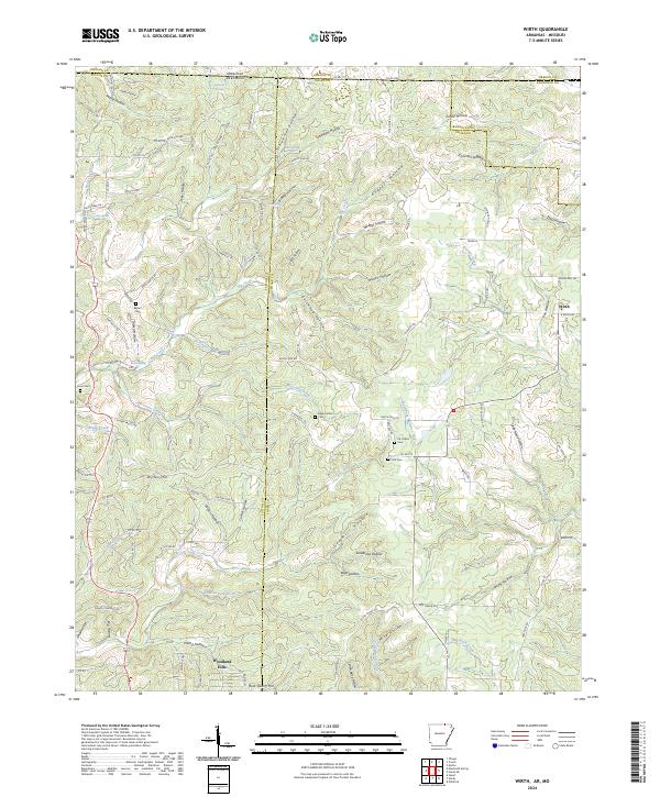 2024 Wirth2024 Print · USGSThe Arkansas-Missouri state line crosses these Ozark foothills near the community of Wirth in a landscape of deep hollows and cold springs. Genealogists can trace family names through Ed Collins Cem, Hurst Cem, and the quiet residential streets of Woodland Hills.
 - 2024 Map of Camp, 2024 Print
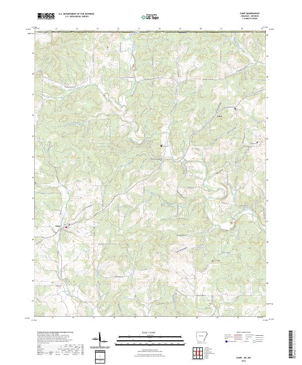 2024 Camp2024 Print · USGSSettled along the upper tributaries of the Spring River, this Fulton County landscape is defined by its rural cemeteries and winding creek valleys. Genealogists can trace family footprints at Fryatt Cem and Shiloh Cem or follow the historic path of Myatt Creek.
 - 2024 Map of Mammoth Spring, 2024 Print
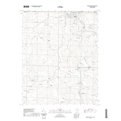
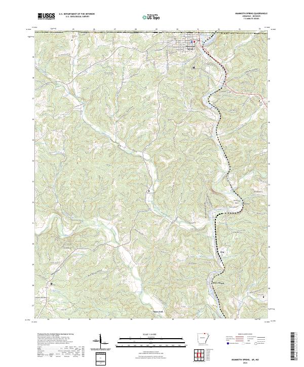 2024 Mammoth Spring2024 Print · USGSFulton County and the Missouri border country are mapped here during the early twenty-first century, showcasing the river-and-hollow terrain. Researchers can locate numerous rural burial grounds like McLemore Cem and trace river settlements such as Many Islands or Baker Ford.
 - 2024 Map of Agnos, 2024 Print
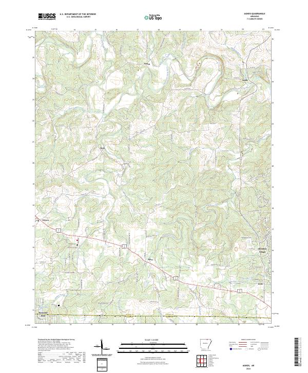 2024 Agnos2024 Print · USGSNorth-central Arkansas at the borders of Fulton, Izard, and Sharp counties reveals a terrain shaped by the South Fork Spring River. Researchers can trace family roots through the Rhoads Cem or locate old community centers at Agnos, Saddle, and Heart.
 - 2024 Map of Stuart, 2024 Print
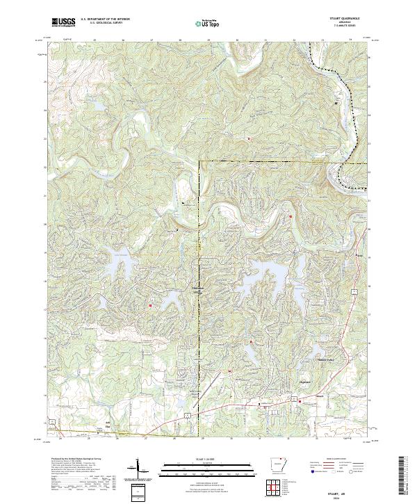 2024 Stuart2024 Print · USGSThe Ozark foothills come into focus in this recent survey of the resort and college communities of North-Central Arkansas. Researchers can trace family history at Taylor Cem and Oaklawn Cem or explore the developed shorelines of Lake Omaha and Lake Sequoyah.
 - 2024 Map of Viola, 2024 Print
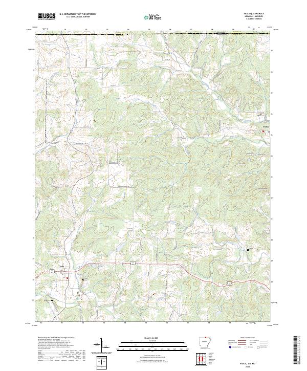 2024 Viola2024 Print · USGSUpper Fulton County at the Missouri border comes into focus in this recent survey of Viola and Sturkie. Genealogists can locate family-named sites like Barker Cem and Watkins Cem or trace the winding course of Bay Creek and Trace Creek.
Showing maps 1-25 of 29
Top cities of Fulton County
Frequently asked questions
- What are the different types of historical maps available for Fulton County?
- What is the oldest map of Fulton County?
- Where can I purchase historical maps of Fulton County for my home or office?
- Where can I download high-res historical maps of Fulton County?
- Are there historical topographic maps available for Fulton County?
- Is there historical aerial imagery available for Fulton County?
- Where are historical maps of Fulton County sourced from?