2010s Maps of Fulton County, Arkansas
Explore 42 historic maps of Fulton County from the 2010s. These maps offer a rare glimpse into what life looked like during the 2010s — showing old roads, neighborhoods, homes, and landmarks that have changed or disappeared over time.
Whether you're researching your family's past, planning a metal detecting trip, or studying how Fulton County's landscape evolved across the 2010s, these high-resolution maps are a powerful tool for exploring the history of this region.
- Focus on a specific era: All maps on this page are from the 2010s, giving you a focused view of this time period.
- See what’s changed: Compare century-old streets, trails, and buildings to today's modern landscape using overlays and satellite layers.
- Research with precision: Use these maps for genealogy, historical research, land use analysis, or educational projects.
- View, download, or print: Maps are fully viewable online in high resolution, and can be downloaded or printed for your own records.
Start exploring Fulton County's history through authentic maps from the 2010s. This is your window into the past.
Fulton County, AR maps
(42)- 2011 Map of Camp, 2011 Print
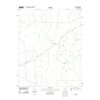 2011 Camp2011 Print · USGSFulton County near the Missouri border in the early 21st century reveals a landscape of family-run farms and traditional hollows. Genealogists can trace family roots at Shiloh Cemetery and Kerby Cemetery or explore the rural hubs of Camp and Fryatt.
 - 2011 Map of Agnos, 2011 Print
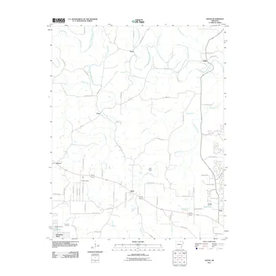 2011 Agnos2011 Print · USGSNorth Arkansas at the start of the 2010s shows a landscape of established rural settlements and growing lakeside developments. Researchers can locate family landmarks like Rhoads Cemetery and Humphries Cemetery or trace the South Fork Spring River through French and Saddle.
 - 2011 Map of Salem, 2011 Print
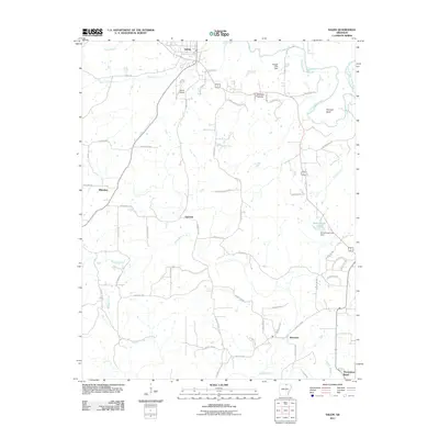 2011 Salem2011 Print · USGSNorth-central Arkansas at the start of the 2010s reveals a landscape of rural junctions and river bends anchored by Salem. Researchers can trace old family lands near Wheeler Hollow, locate the Salem Airport, or follow the winding South Fork Spring River.
 - 2011 Map of Mammoth Spring, 2011 Print
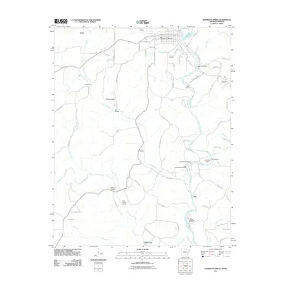 2011 Mammoth Spring2011 Print · USGSThe northern Arkansas Ozarks are centered here during the early twenty-first century, showing the river-front settlements and rural hollows. Genealogists can locate family burial sites like McLemore Cemetery and trace historical crossings at Baker Ford.
 - 2011 Map of Hardy, 2011 Print
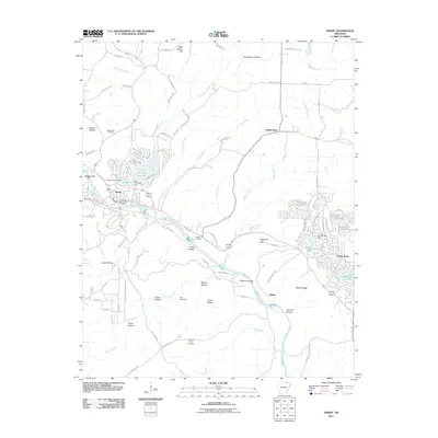 2011 Hardy2011 Print · USGSThe Sharp County foothills in the early twenty-first century are defined by the Spring River and numerous resort lakes. Genealogists can locate family sites at Walker Cemetery or Hall Cemetery while tracing growth in Hardy and Ozark Acres.
 - 2011 Map of Wirth, 2011 Print
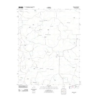 2011 Wirth2011 Print · USGSThe borderlands of Sharp County in the early twenty-first century reveal a rural landscape of winding hollows and family-named landmarks. Trace local history through sites like Wirth, Bethel Cemetery, and the intriguing Mine Hollow nestled along Big Creek.
 - 2011 Map of Salem Knob, 2011 Print
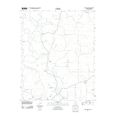 2011 Salem Knob2011 Print · USGSThe borderlands of northern Arkansas and southern Missouri are captured here in the early 2000s, centered on the community of Salem. Researchers can trace old family lines near Hunter Cemetery and explore the rugged topography of Salem Knob and Sweat Hollow.
 - 2011 Map of Viola, 2011 Print
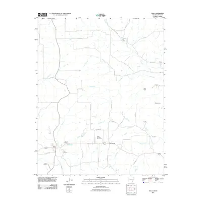 2011 Viola2011 Print · USGSViola and the surrounding Ozark foothills are captured here in the early twenty-first century as a landscape of rural communities and winding creeks. Genealogists and local historians can locate family landmarks such as Viola Cemetery, Hay Hollow, and Wildcat Knob.
 - 2011 Map of Stuart, 2011 Print
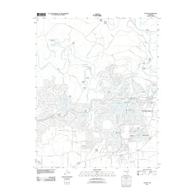 2011 Stuart2011 Print · USGSCherokee Village and its surrounding Ozark highlands are captured here during a period of significant recreational development. Genealogists and local historians can trace the intersection of modern growth with older landmarks like Taylor Cemetery, Slick Rock Ford, and Hidden Valley.
 - 2011 Map of Byron, 2011 Print
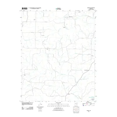 2011 Byron2011 Print · USGSIzard County at the start of the twenty-first century reveals a landscape of winding Ozark creeks and quiet crossroads settlements. Genealogists and local historians can trace family roots at Liberty Cemetery, follow the banks of the Strawberry River, or locate the rural hubs of Byron and Bexar.
 - 2011 Map of Gepp, 2011 Print
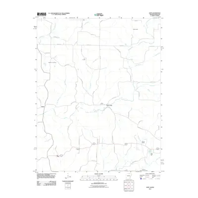 2011 Gepp2011 Print · USGSFulton County and the Arkansas-Missouri borderlands are captured here in the early 2000s, showing a landscape of family-named ridges and river valleys. Genealogists and local historians can trace family ties at Gobbler Trot Cemetery, Pickren Hall, and the settlement of Gepp.
 - 2011 Map of Elizabeth, 2011 Print
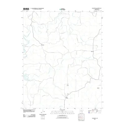 2011 Elizabeth2011 Print · USGSFulton County settlements and Ozark creek valleys are preserved here as they appeared in the early 2010s. Researchers can trace family sites at Myse Cemetery or follow the winding courses of Big Creek and South Brushy Creek.
 - 2011 Map of Norfork Dam North, 2011 Print
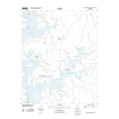 2011 Norfork Dam North2011 Print · USGSBaxter County’s shoreline communities and landings are detailed here in the early twenty-first century as the reservoir landscape matured. Local historians can trace family-named sites and access points like Jordan Landing, Timber Lake Manor, and the Norfork National Fish Hatchery.
 - 2011 Map of Gamaliel, 2011 Print
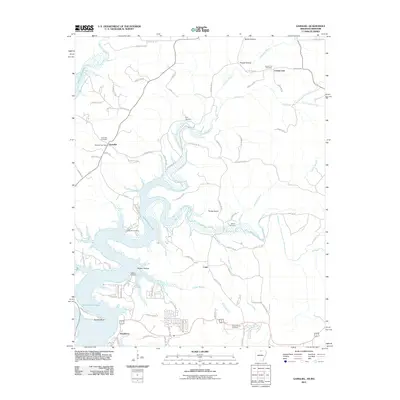 2011 Gamaliel2011 Print · USGSThe Ozark borderlands in the early twenty-first century are defined by the winding reaches of Norfork Lake and the rural communities along the state line. Researchers can trace family history through numerous burial grounds like Athens Cemetery or locate old water access points at Gamaliel Landing and Bidwell Point.
 - 2014 Map of Wirth, 2014 Print
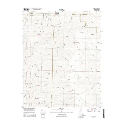 2014 Wirth2014 Print · USGSThe borderlands of Sharp and Fulton counties are documented here in the early 21st century, showing the rural community of Wirth and its surrounding hollows. Researchers can trace local genealogy through sites like Bethel Cem and Hurst Cem or explore family landmarks such as Britton Hill.
 - 2014 Map of Viola, 2014 Print
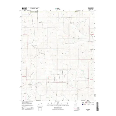 2014 Viola2014 Print · USGSNorthern Arkansas and the Missouri borderlands are captured here in the mid-2010s, centered on the rural community of Viola. Genealogists and local historians can trace family locations through Barker Cem, Watkins Cem, and the geography of Mashie Hollow.
 - 2014 Map of Gamaliel, 2014 Print
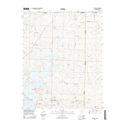 2014 Gamaliel2014 Print · USGSThe northern reaches of Norfork Lake and the rugged hollows of the Arkansas-Missouri border define this rural landscape during its modern development. Local historians can trace the positions of old burial grounds like Athens Cem and Custer Herron Cem or the lakefront growth of Henderson.
 - 2014 Map of Salem, 2014 Print
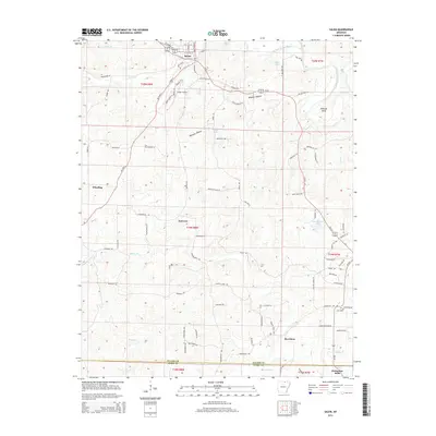 2014 Salem2014 Print · USGSNorth central Arkansas comes into focus in the early twenty-first century, centered on the historic seat of Salem. Researchers can trace the rural infrastructure around Morriston and Wheeling or locate family landmarks like Dogget Lake and the Old Farm.
 - 2014 Map of Byron, 2014 Print
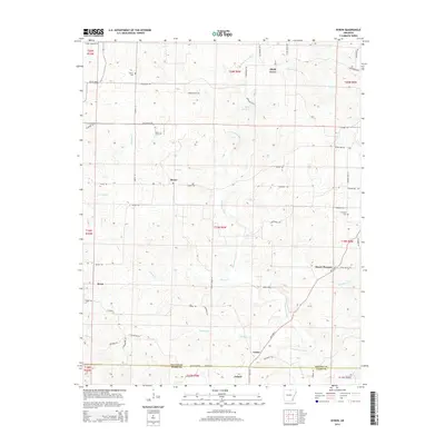 2014 Byron2014 Print · USGSThe hills of Fulton and Izard Counties come into focus during the early twenty-first century, showing a landscape defined by the winding Strawberry River. Researchers can trace old family roots at Liberty Cem or locate the rural communities of Bexar and Oxford.
 - 2014 Map of Camp, 2014 Print
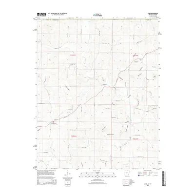 2014 Camp2014 Print · USGSFulton County sits along the Missouri border in this modern survey, capturing the rural character of northern Arkansas. Genealogists can locate several local burial sites like Fryatt Cemetery and Kerby Cemetery tucked between Thornton Hollow and Myatt Creek.
 - 2014 Map of Salem Knob, 2014 Print
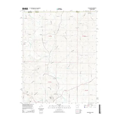 2014 Salem Knob2014 Print · USGSNorthern Arkansas at the turn of the decade is defined here by the river valleys and high points of Fulton County. Trace family history and land patterns near Salem and the Hunter Cem, or follow the South Fork Spring River past Moko.
 - 2014 Map of Mammoth Spring, 2014 Print
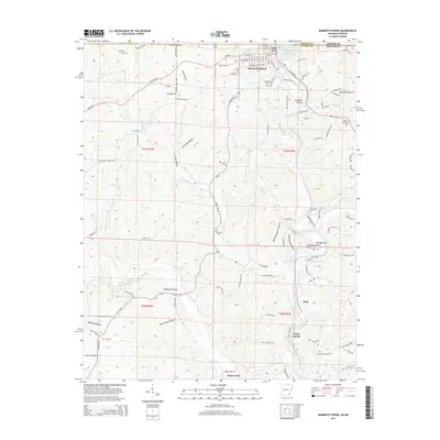 2014 Mammoth Spring2014 Print · USGSFulton County and the Arkansas-Missouri border are captured here during the early twenty-first century, centered on the headwaters of the Spring River. Local historians can trace family land near Riverside Cem, the old settlement at Many Islands, and the river crossing at Baker Ford.
 - 2014 Map of Stuart, 2014 Print
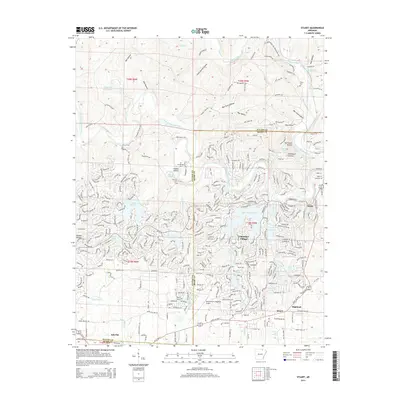 2014 Stuart2014 Print · USGSSharp and Fulton counties are shown during a period of significant residential expansion in the early twenty-first century. Genealogists can locate family sites like Taylor Cem and Wavrick Cem among the many reservoirs of Cherokee Village.
 - 2014 Map of Hardy, 2014 Print
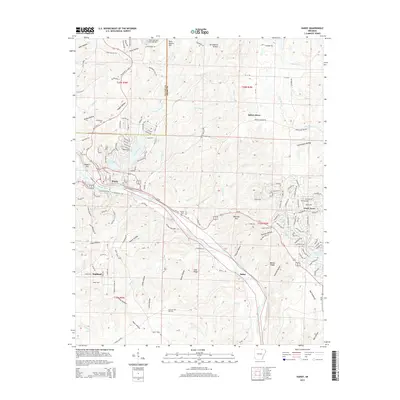 2014 Hardy2014 Print · USGSHardy and Highland sit along the Spring River in the early twenty-first century, a landscape of ridges and recreational lakes. Researchers can trace family sites at Richardson Cem or Walker Cem and locate historic landmarks like Sellers Store.
 - 2014 Map of Agnos, 2014 Print
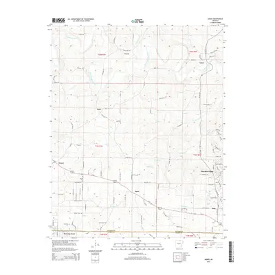 2014 Agnos2014 Print · USGSThe foothills of the Ozarks in North Central Arkansas come into focus here during the early twenty-first century. Genealogists and local historians can trace family ties at Rhoads Cem or explore the rural layout of Agnos, Saddle, and Glencoe.
Showing maps 1-25 of 42
Top cities of Fulton County
Frequently asked questions
- What are the different types of historical maps available for Fulton County?
- What is the oldest map of Fulton County?
- Where can I purchase historical maps of Fulton County for my home or office?
- Where can I download high-res historical maps of Fulton County?
- Are there historical topographic maps available for Fulton County?
- Is there historical aerial imagery available for Fulton County?
- Where are historical maps of Fulton County sourced from?