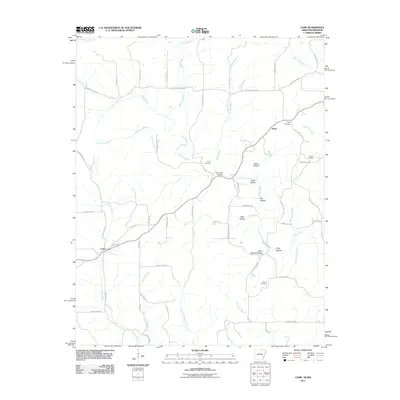
2011 Map of Camp
USGS Topo · Published 2011About this map
The northern reaches of Fulton County, Arkansas, are defined by the winding course of Myatt Creek and its many tributary branches. Near the Missouri border, the settlement of Fryatt sits along Missouri Line Rd, serving as a focal point for local families whose history is preserved at the nearby Fryatt Cemetery and Bethel Cemetery. The terrain is characterized by a dense network of hollows, including Thornton Hollow and Glass Hollow, which drain into the creek systems that have shaped the agricultural and social development of this borderland region.
Find a feature on this map
63 named features on this map. Tap any name to fly to it.
Don’t see what you’re looking for? This feature index may not catch every label — zoom into the map to look around manually.
Map Details
Editions of this 2011 Camp Map
This is the sole edition of this map. No revisions or reprints were ever made.
Other maps of this area

1943 · Thayer
USGS Topo · 1:62,500

1944 · West Plains
USGS Topo · 1:62,500

1946 · Thayer
USGS Topo · 1:62,500

1946 · West Plains
USGS Topo · 1:62,500

1950 · Salem
USGS Topo · 1:62,500

1951 · Salem
USGS Topo · 1:62,500

1957 · Poplar Bluff
USGS Topo · 1:250,000

1959 · Poplar Bluff
USGS Topo · 1:250,000

1960 · Poplar Bluff
USGS Topo · 1:250,000

1962 · Stuart
USGS Topo · 1:24,000