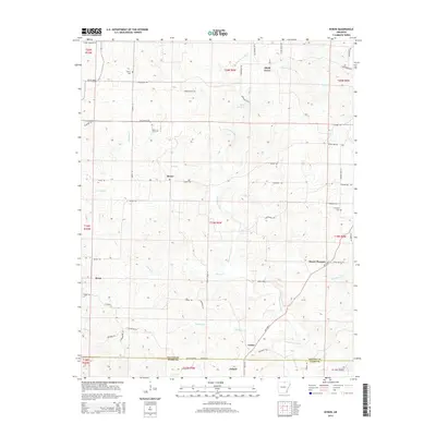
2014 Map of Byron
USGS Topo · Published 2014About this map
Byron and Oxford serve as local anchors in this upland region where the Fulton Co Izard Co boundary bisects the landscape. The drainage network is particularly dense here, characterized by the winding Strawberry River and its numerous tributaries such as Greasy Cr, Rose Br, and Cochran Br. This pattern of small creeks and branches historically dictated the placement of early settlements and family cemeteries, which remain key landmarks in the rural geography.
Find a feature on this map
65 named features on this map. Tap any name to fly to it.
Don’t see what you’re looking for? This feature index may not catch every label — zoom into the map to look around manually.
Map Details
Editions of this 2014 Byron Map
This is the sole edition of this map. No revisions or reprints were ever made.
Other maps of this area

1890 · Mountain Home
USGS Topo · 1:125,000

1891 · Mountain Home
USGS Topo · 1:125,000

1894 · Mountain Home
USGS Topo · 1:125,000

1945 · Harrison
USGS Topo · 1:250,000

1949 · Harrison
USGS Topo · 1:250,000

1950 · Salem
USGS Topo · 1:62,500

1951 · Salem
USGS Topo · 1:62,500

1951 · Melbourne
USGS Topo · 1:62,500

1954 · Harrison
USGS Topo · 1:250,000

1957 · Poplar Bluff
USGS Topo · 1:250,000