2000s (21st Century) Maps of Grant County, Arkansas
Explore 90 historic maps of Grant County from the 2000s (21st Century). These maps offer a rare glimpse into what life looked like during the 2000s — showing old roads, neighborhoods, homes, and landmarks that have changed or disappeared over time.
Whether you're researching your family's past, planning a metal detecting trip, or studying how Grant County's landscape evolved across the 2000s, these high-resolution maps are a powerful tool for exploring the history of this region.
- Focus on a specific era: All maps on this page are from the 2000s, giving you a focused view of this time period.
- See what’s changed: Compare century-old streets, trails, and buildings to today's modern landscape using overlays and satellite layers.
- Research with precision: Use these maps for genealogy, historical research, land use analysis, or educational projects.
- View, download, or print: Maps are fully viewable online in high resolution, and can be downloaded or printed for your own records.
Start exploring Grant County's history through authentic maps from the 2000s. This is your window into the past.
Grant County, AR maps
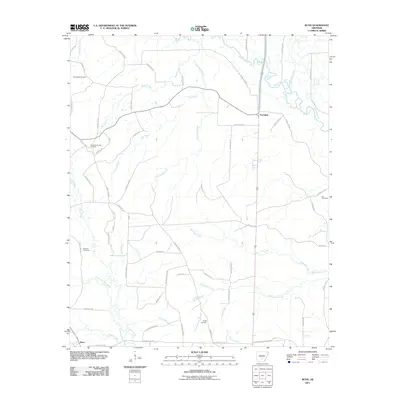
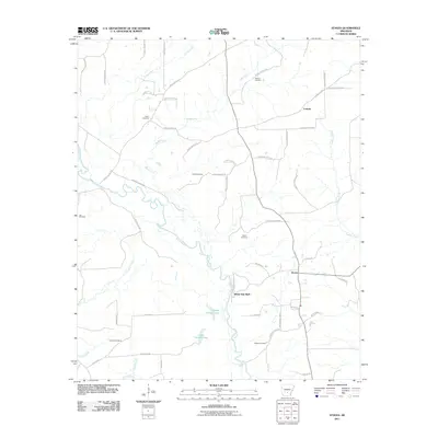
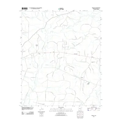
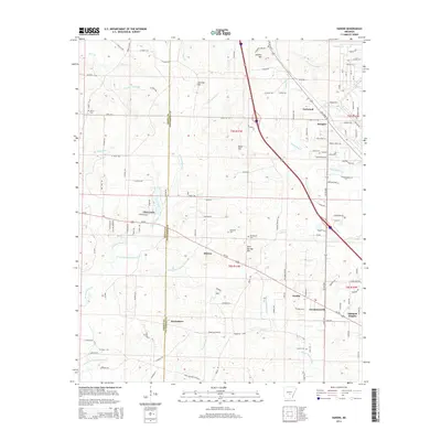
(90)- 2011 Map of Belfast, 2011 Print
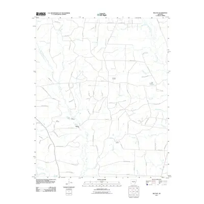 2011 Belfast2011 Print · USGSCovers Grant County, including Belfast, Saline County, and other nearby areas
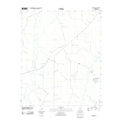
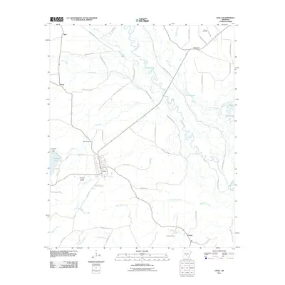
 - 2011 Map of Hardin, 2011 Print
 2011 Hardin2011 Print · USGSCovers Grant County, including Doylestown, Midway, and other nearby areas
 - 2011 Map of Grapevine, 2011 Print
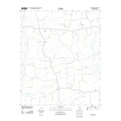 2011 Grapevine2011 Print · USGSCovers Grant County, including Grapevine, Ain, and other nearby areas
 - 2011 Map of Kedron, 2011 Print
 2011 Kedron2011 Print · USGSCovers Grant County, including Rone, Kedron, and other nearby areas
 - 2011 Map of Bunn, 2011 Print
 2011 Bunn2011 Print · USGSCovers Grant County, including Bunn, Farindale, and other nearby areas
 - 2011 Map of Cane Creek, 2011 Print
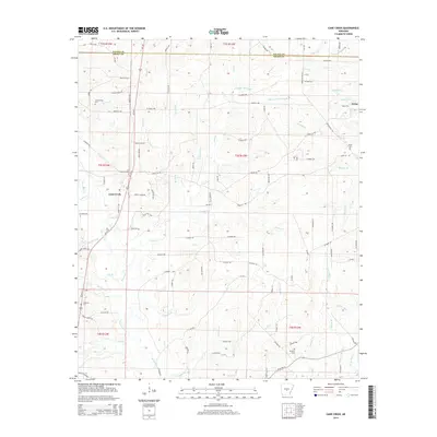
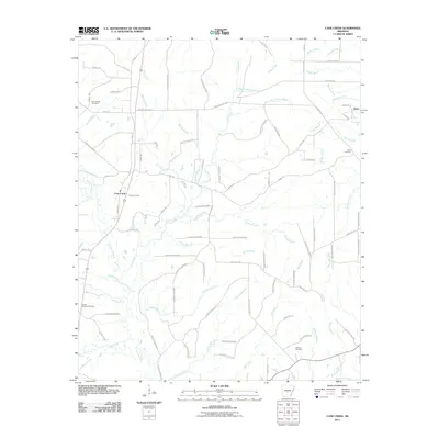 2011 Cane Creek2011 Print · USGSCovers Grant County, including Orion, Cane Creek, and other nearby areas
 - 2011 Map of Poyen, 2011 Print
 2011 Poyen2011 Print · USGSCovers Grant County, including Poyen, Lenham, and other nearby areas
 - 2011 Map of Tull, 2011 Print
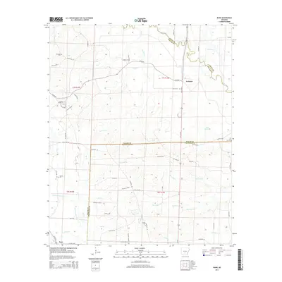
 2011 Tull2011 Print · USGSCovers Grant County, including Haskell, Tull, and other nearby areas
 - 2011 Map of Staves, 2011 Print
 2011 Staves2011 Print · USGSCovers Grant County, including Staves, White Oak Bluff, and other nearby areas
 - 2011 Map of Pine Bluff NW, 2011 Print
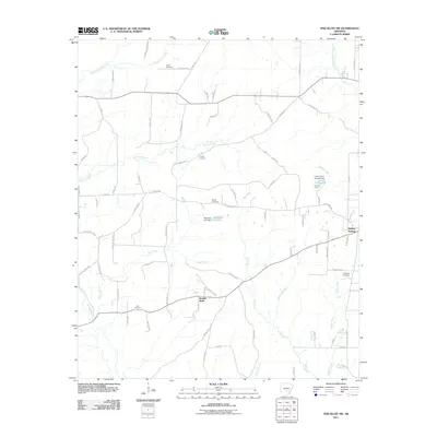 2011 Pine Bluff NW2011 Print · USGSCovers Grant County, including Double Wells, Jefferson County, and other nearby areas
 - 2011 Map of Millerville, 2011 Print
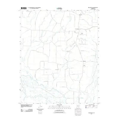 2011 Millerville2011 Print · USGSCovers Grant County, including Millerville, Deer Creek, and other nearby areas
 - 2011 Map of Traskwood, 2011 Print
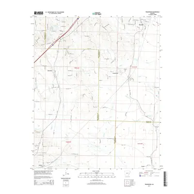
 2011 Traskwood2011 Print · USGSCovers Grant County, including Haskell, Traskwood, and other nearby areas
 - 2011 Map of Prague, 2011 Print
 2011 Prague2011 Print · USGSCovers Grant County, including Ebb, Junet, and other nearby areas
 - 2011 Map of Leola, 2011 Print
 2011 Leola2011 Print · USGSCovers Grant County, including Leola, Ivy, and other nearby areas
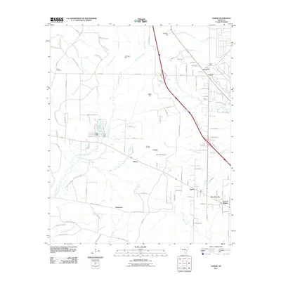
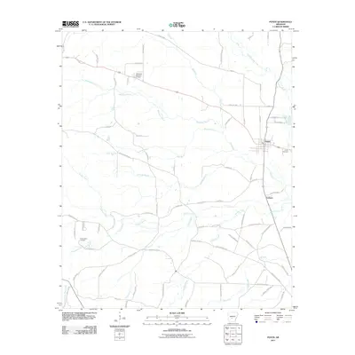
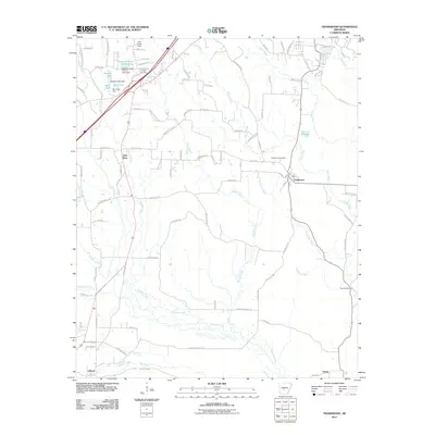
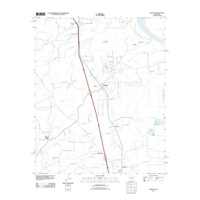
 - 2011 Map of Sheridan, 2011 Print
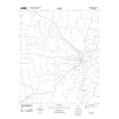 2011 Sheridan2011 Print · USGSCovers Grant County, including Sheridan, Slabtown, and other nearby areas
 - 2011 Map of Redfield, 2011 Print
 2011 Redfield2011 Print · USGSCovers Grant County, including Redfield, English Place, and other nearby areas
 - 2011 Map of Prattsville, 2011 Print
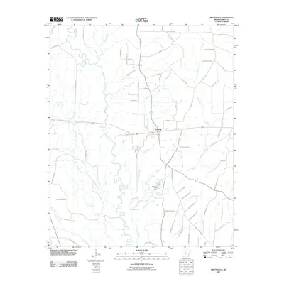 2011 Prattsville2011 Print · USGSCovers Grant County, including Prattsville, Buie, and other nearby areas
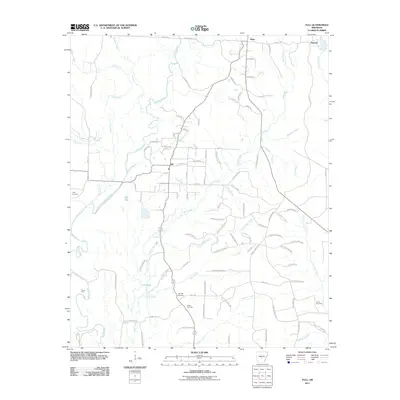
 - 2011 Map of Willow, 2011 Print
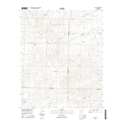
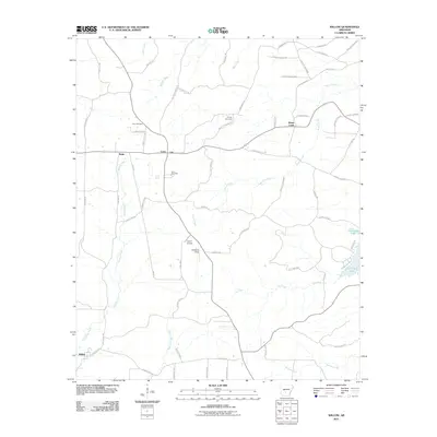 2011 Willow2011 Print · USGSCovers Grant County, including Rolla, Willow, and other nearby areas
 - 2014 Map of Grapevine, 2014 Print
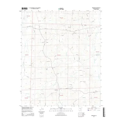 2014 Grapevine2014 Print · USGSCovers Grant County, including Grapevine, Ain, and other nearby areas
 - 2014 Map of Tull, 2014 Print
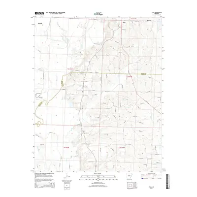 2014 Tull2014 Print · USGSCovers Grant County, including Haskell, Tull, and other nearby areas
 - 2014 Map of Bunn, 2014 Print
 2014 Bunn2014 Print · USGSCovers Grant County, including Bunn, Farindale, and other nearby areas
 - 2014 Map of Traskwood, 2014 Print
 2014 Traskwood2014 Print · USGSCovers Grant County, including Haskell, Traskwood, and other nearby areas
 - 2014 Map of Cane Creek, 2014 Print
 2014 Cane Creek2014 Print · USGSCovers Grant County, including Orion, Cane Creek, and other nearby areas
 - 2014 Map of Hardin, 2014 Print
 2014 Hardin2014 Print · USGSCovers Grant County, including Doylestown, Midway, and other nearby areas
 - 2014 Map of Willow, 2014 Print
 2014 Willow2014 Print · USGSCovers Grant County, including Rolla, Willow, and other nearby areas
Showing maps 1-25 of 90
Top cities of Grant County
- Sheridan historical maps
- Tull historical maps
- Leola historical maps
- Prattsville historical maps
- Poyen historical maps
Frequently asked questions
- What are the different types of historical maps available for Grant County?
- What is the oldest map of Grant County?
- Where can I purchase historical maps of Grant County for my home or office?
- Where can I download high-res historical maps of Grant County?
- Are there historical topographic maps available for Grant County?
- Is there historical aerial imagery available for Grant County?
- Where are historical maps of Grant County sourced from?