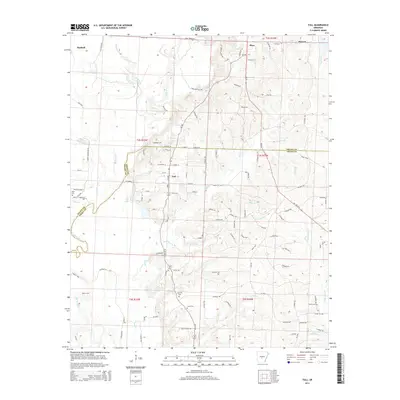
2014 Map of Tull
USGS Topo · Published 2014About this map
Haskell and the surrounding borderlands of Saline and Grant counties define this 2014 survey. The Saline River winds through the western portion of the quadrangle, punctuated by historical crossing points like Nance Ford. Small communities such as Tull, Shaw, and Detonti are connected by a network of county roads and family-named routes like Dale Rd and Kentner Rd, reflecting the rural residential patterns of central Arkansas.
Find a feature on this map
85 named features on this map. Tap any name to fly to it.
Don’t see what you’re looking for? This feature index may not catch every label — zoom into the map to look around manually.
Map Details
Editions of this 2014 Tull Map
This is the sole edition of this map. No revisions or reprints were ever made.
Other maps of this area

1890 · Benton
USGS Topo · 1:125,000

1891 · Little Rock
USGS Topo · 1:125,000

1893 · Little Rock
USGS Topo · 1:125,000

1894 · Benton
USGS Topo · 1:125,000

1935 · Alexander
USGS Topo · 1:48,000

1938 · Benton
USGS Topo · 1:48,000

1941 · Alexander
USGS Topo · 1:62,500

1944 · Benton
USGS Topo · 1:62,500

1944 · Bryant
USGS Topo · 1:31,680

1944 · Benton
USGS Topo · 1:31,680