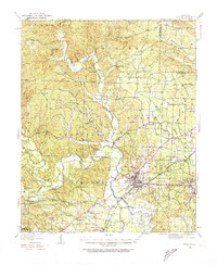
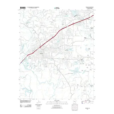
1944 Map of Benton
USGS Topo · Published 1946About this map
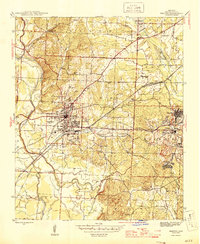
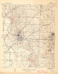
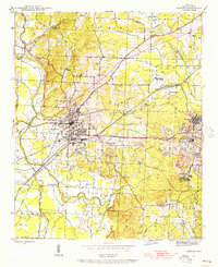
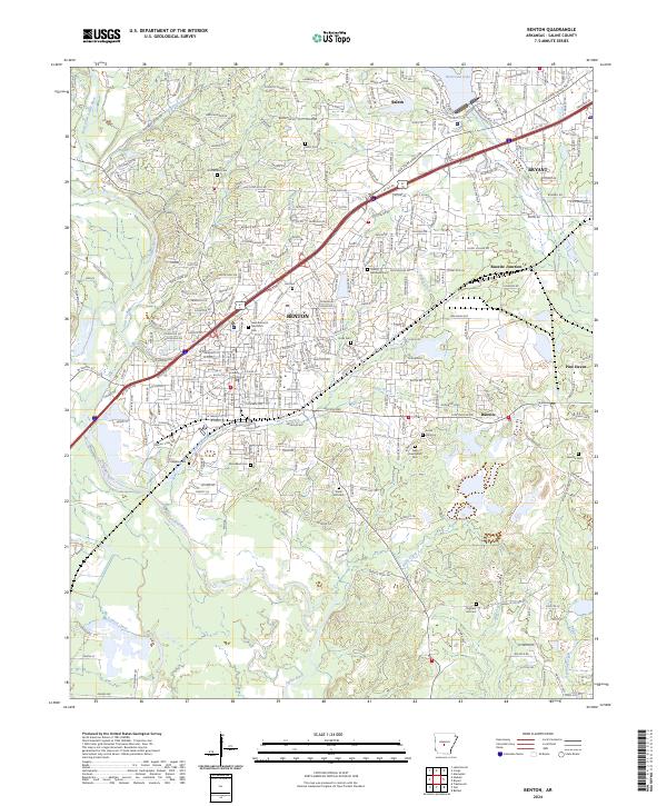
Benton serves as the focal point of this mid-1940s landscape, where a complex network of railroads including the Chicago Rock Island and Pacific and the Missouri Pacific converges to support local industry. To the east, the intensive mineral operations at Bauxite and Bauxite Junc are clearly visible, supported by the residential developments of Pine Haven and Woodland. The terrain is defined by the Saline River and its tributaries like Taylor Creek and Holly Creek, which carve through the township boundaries of Bauxite, Bryant, and Newcomb. Local life is anchored by rural landmarks such as Mt Vernon Ch and Siddell Sch, while the presence of an Indian Mound near the river suggests a deep history of habitation. Researchers will find numerous burial sites like Rosemont Cem and Hughes Cem, providing valuable touchpoints for family history in Saline County.
Find a feature on this map
51 named features on this map. Tap any name to fly to it.
Don’t see what you’re looking for? This feature index may not catch every label — zoom into the map to look around manually.
Map Details
Editions of this 1944 Benton Map
4 editions found
Historical Maps of Benton Through Time
12 maps found

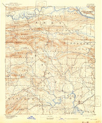
1890 Benton
Saline County, AR
1894 Benton
Saline County, AR
1938 Benton
Saline County, AR

1944 Benton
Saline County, AR
1944 Benton
Saline County, AR
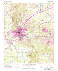
1974 Benton
Saline County, AR
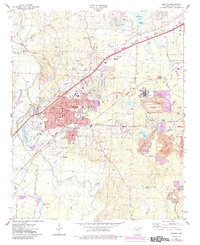
1994 Benton
Saline County, AR
2011 Benton
Saline County, AR
2014 Benton
Saline County, AR
2017 Benton
Saline County, AR
2020 Benton
Saline County, AR
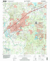
2024 Benton
Saline County, AR