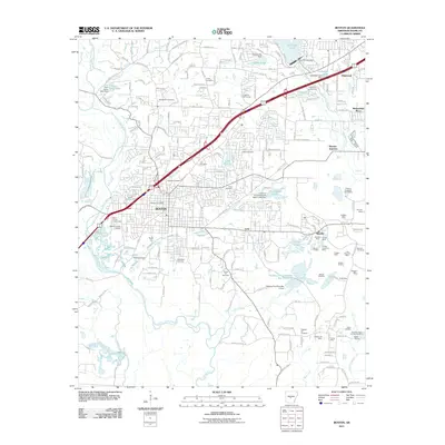
1944 Map of Benton
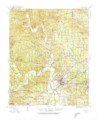
USGS Topo · Published 1956About this map
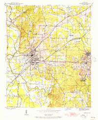
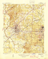
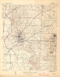
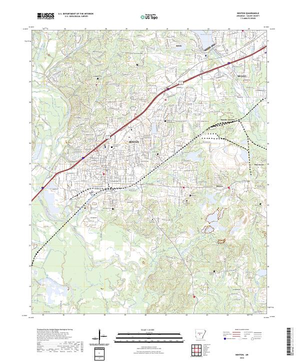
The Saline River and its North Fork anchor this mid-century portrait of Central Arkansas, where the county seat of Benton serves as a major rail hub. The landscape is defined by the heavy presence of the Missouri Pacific and Chicago Rock Island and Pacific railroads, which support the industrial activity in Bauxite and Bauxite Junc. This area was a critical center for aluminum ore production, reflected in the specialized settlements and infrastructure mapped here.
Find a feature on this map
43 named features on this map. Tap any name to fly to it.
Don’t see what you’re looking for? This feature index may not catch every label — zoom into the map to look around manually.
Map Details
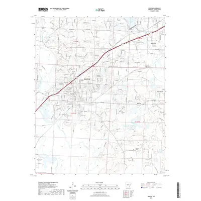
Editions of this 1944 Benton Map
4 editions found
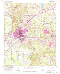
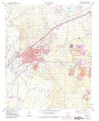
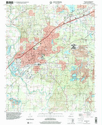
Historical Maps of Benton Through Time
12 maps found

1890 Benton
Saline County, AR
1894 Benton
Saline County, AR
1938 Benton
Saline County, AR

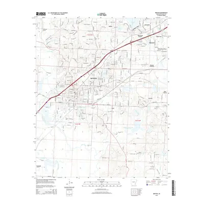
1944 Benton
Saline County, AR
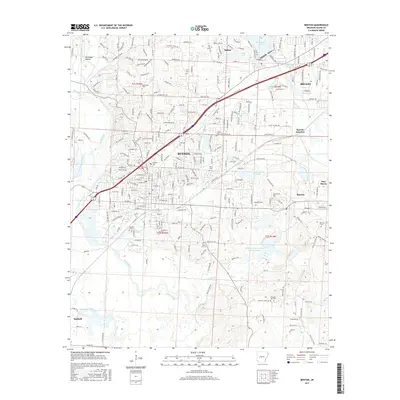
1944 Benton
Saline County, AR
1974 Benton
Saline County, AR
1994 Benton
Saline County, AR
2011 Benton
Saline County, AR
2014 Benton
Saline County, AR
2017 Benton
Saline County, AR
2020 Benton
Saline County, AR
2024 Benton
Saline County, AR