2010s Maps of Grant County, Arkansas
Explore 54 historic maps of Grant County from the 2010s. These maps offer a rare glimpse into what life looked like during the 2010s — showing old roads, neighborhoods, homes, and landmarks that have changed or disappeared over time.
Whether you're researching your family's past, planning a metal detecting trip, or studying how Grant County's landscape evolved across the 2010s, these high-resolution maps are a powerful tool for exploring the history of this region.
- Focus on a specific era: All maps on this page are from the 2010s, giving you a focused view of this time period.
- See what’s changed: Compare century-old streets, trails, and buildings to today's modern landscape using overlays and satellite layers.
- Research with precision: Use these maps for genealogy, historical research, land use analysis, or educational projects.
- View, download, or print: Maps are fully viewable online in high resolution, and can be downloaded or printed for your own records.
Start exploring Grant County's history through authentic maps from the 2010s. This is your window into the past.
Grant County, AR maps
(54)- 2011 Map of Belfast, 2011 Print
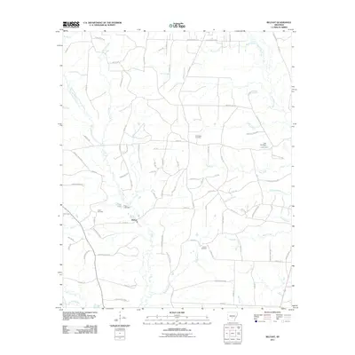 2011 Belfast2011 Print · USGSIn the early 2000s, this area of Grant County was a rural patchwork of timber lands and family cemeteries. Genealogists and local historians can trace legacy sites like Jones Cemetery or follow the waters of Hurricane Creek and Wet Lost Creek.
 - 2011 Map of Hardin, 2011 Print
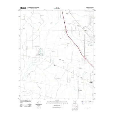 2011 Hardin2011 Print · USGSJefferson County in the early 21st century shows a landscape defined by timber tracts and small rural communities. Researchers can trace family history through local sites like Old Shiloh Cemetery and the settlements of Hardin and Doylestown.
 - 2011 Map of Grapevine, 2011 Print
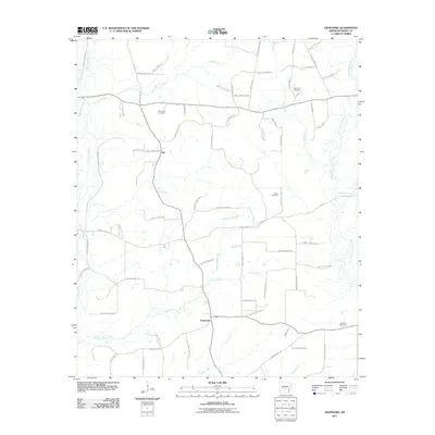 2011 Grapevine2011 Print · USGSIn the early twenty-first century, this pocket of Grant County remains a landscape of timber roads and quiet rural settlements. Researchers can locate several family cemeteries, including Saint Paul Cemetery and White Cemetery, alongside the small crossroads of Ain and Grapevine.
 - 2011 Map of Kedron, 2011 Print
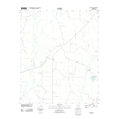 2011 Kedron2011 Print · USGSJefferson County's southern timberlands and rural communities are captured here in the early 2010s. Genealogists and local historians can locate several family landmarks and burial sites, including Randolph Cemetery, Macedonia Cemetery, and the community of Kedron.
 - 2011 Map of Bunn, 2011 Print
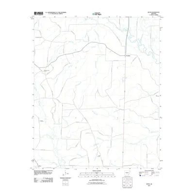 2011 Bunn2011 Print · USGSDallas County during the early 2010s shows a landscape of timbered stretches and river bottoms anchored by Bunn and Farindale. Researchers can trace local lineage through several family burial grounds including Hampton Springs Cemetery, Hardcastle Cemetery, and Wright Cemetery.
 - 2011 Map of Cane Creek, 2011 Print
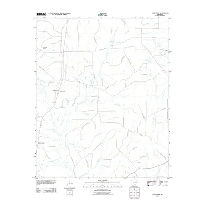 2011 Cane Creek2011 Print · USGSThis rural Grant County landscape in the early twenty-first century shows a region defined by its timberlands and creek-side settlements. Genealogists and local historians can trace family locations through sites like Orion Cemetery, South Marlow Cemetery, and Gum Springs Cemetery.
 - 2011 Map of Poyen, 2011 Print
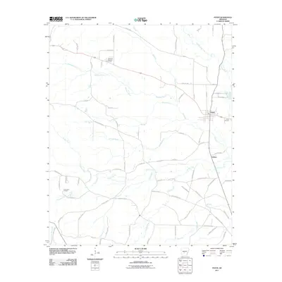 2011 Poyen2011 Print · USGSGrant County is shown in detail during the early 21st century, centered on the communities of Poyen and Lenham. Genealogists and historians can locate the Cunningham Cemetery, trace the Gifford Tram, and follow the winding course of Big Creek.
 - 2011 Map of Tull, 2011 Print
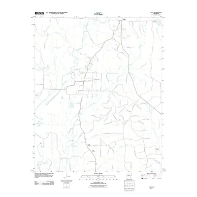 2011 Tull2011 Print · USGSSaline County at the start of the 2010s reveals a landscape of river-bottom settlements and forest management. Researchers can trace family roots through several local landmarks including Holly Cemetery, Nance Ford, and the community of Tull.
 - 2011 Map of Staves, 2011 Print
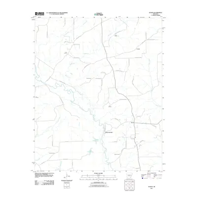 2011 Staves2011 Print · USGSCleveland County's river-bottom terrain is captured here in the early 2000s, showcasing the rural landscapes along the Saline River. Genealogists and local historians can trace family roots through several landmarks, including Shell Cemetery, Davis Cemetery, and the settlement at Staves.
 - 2011 Map of Pine Bluff NW, 2011 Print
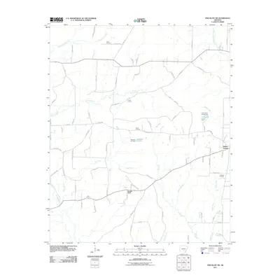 2011 Pine Bluff NW2011 Print · USGSJefferson County at the start of the decade reveals a landscape of dispersed settlements and quiet creek bottoms. Researchers can trace ancestral locations through numerous family burial sites like Fitzhugh Cemetery and Lee Cemetery, or locate old property lines near Double Wells.
 - 2011 Map of Millerville, 2011 Print
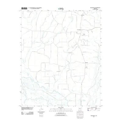 2011 Millerville2011 Print · USGSGrant County’s rural interior in the early 21st century remains defined by its winding waterways and quiet crossroads. Genealogists and local historians can trace family locations near Shiloh Cemetery, the Saline River, or the settlement of Millerville.
 - 2011 Map of Traskwood, 2011 Print
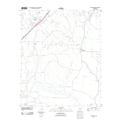 2011 Traskwood2011 Print · USGSTraskwood and Saline County are documented here in 2011, showing the modern settlement patterns over an older industrial and agricultural landscape. Local historians can trace old transit lines like the Gifford Tram and find family sites near Fairplay Cemetery or Summerville Ford.
 - 2011 Map of Prague, 2011 Print
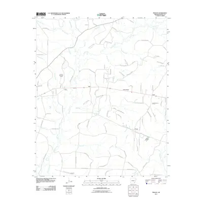 2011 Prague2011 Print · USGSGrant County is documented here at the start of the new millennium, showing a landscape shaped by timber management and quiet rural crossroads. Researchers can locate established family sites like Hardin Cemetery and trace the paths of Ebb and Prague along the creek-fed lowlands.
 - 2011 Map of Leola, 2011 Print
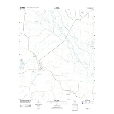 2011 Leola2011 Print · USGSThe community of Leola and the winding Saline River define this South Arkansas landscape during the early 2000s. Researchers can trace family roots at Moores Cemetery and Crowder Cemetery or locate landmarks like Katheryns Landing Airport.
 - 2011 Map of Sheridan, 2011 Print
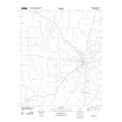 2011 Sheridan2011 Print · USGSSheridan and the surrounding Grant County timberlands are documented in this 2011 survey, showing the town at the intersection of industry and nature. Researchers can trace local heritage through Poe Cemetery, the southern settlement of Slabtown, and the creek-fed waters of Lake Brown.
 - 2011 Map of Redfield, 2011 Print
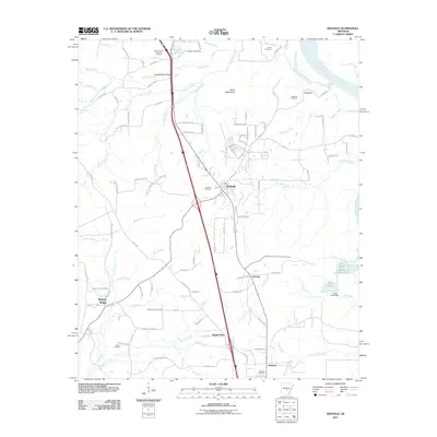 2011 Redfield2011 Print · USGSJefferson County at the start of the 2010s reveals a landscape of small communities and rural cemeteries along the Arkansas River corridor. Researchers can trace family sites like Redfield Cemetery and Jones Cemetery or locate landmarks such as Counterfeit Ridge.
 - 2011 Map of Prattsville, 2011 Print
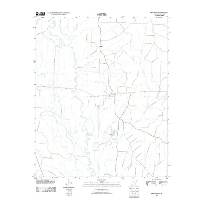 2011 Prattsville2011 Print · USGSPrattsville and the surrounding Grant County timberlands are documented here just after the first decade of the millennium. Researchers can trace the winding Saline River corridor and locate local landmarks like Stephens Lake and the rural community of Buie.
 - 2011 Map of Willow, 2011 Print
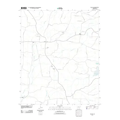 2011 Willow2011 Print · USGSHot Spring County rural life in the early 2010s is defined by a network of creek-side settlements and timber roads. Family historians can trace local roots through landmarks like Gray Cemetery, Lono Cemetery, and the small community of Rolla.
 - 2014 Map of Grapevine, 2014 Print
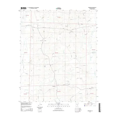 2014 Grapevine2014 Print · USGSGrant County is revealed in the mid-2010s as a landscape of interconnected creek bottoms and quiet rural crossroads. Genealogists can trace family burial sites like Saint Paul Cemetery and Mt Zion Cemetery while following the paths of White Oak Creek and Caney Creek.
 - 2014 Map of Tull, 2014 Print
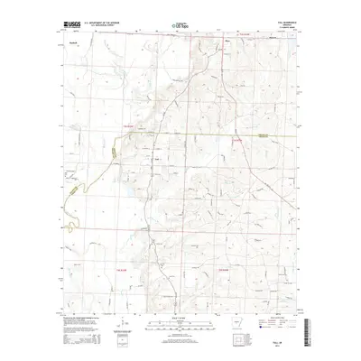 2014 Tull2014 Print · USGSThe rural landscapes between Haskell and Tull are captured in the mid-2010s as community life centers on the river and local crossroads. Researchers can locate family landmarks like Ashcraft Cem and Jacob Cem or trace the path of the Saline River.
 - 2014 Map of Bunn, 2014 Print
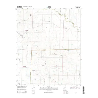 2014 Bunn2014 Print · USGSDallas and Cleveland Counties come together in this timber-heavy landscape during the early twenty-first century. Genealogists and local historians can trace family roots through several rural burial grounds, including Hardcastle Cem, Hampton Springs Cem, and Wright Cem.
 - 2014 Map of Traskwood, 2014 Print
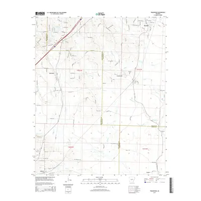 2014 Traskwood2014 Print · USGSHaskell and Traskwood are documented in this 2014 survey as the Union Pacific corridor connects the small towns of Saline and Hot Spring counties. Genealogists and local historians can locate the Fairplay Cem, Holy Ridge Ch, and the Glen Rose Sch amidst the timbered landscape.
 - 2014 Map of Cane Creek, 2014 Print
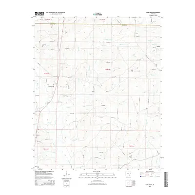 2014 Cane Creek2014 Print · USGSOrion and the Grant County countryside are shown here in the early 21st century, revealing a landscape defined by creeks and family landmarks. Researchers can trace ancestral roots at Gum Springs Cem, Orion Cem, or along the banks of Hurricane Creek.
 - 2014 Map of Hardin, 2014 Print
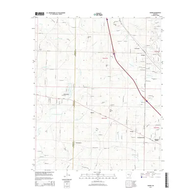 2014 Hardin2014 Print · USGSSoutheast of Pine Bluff in the mid-2010s, this area shows a mix of traditional Arkansas hamlets and modern expansion. Genealogists can trace family landmarks like Morris Cem and Piper Cem or locate the historic sites of Doylestown and Midway.
 - 2014 Map of Willow, 2014 Print
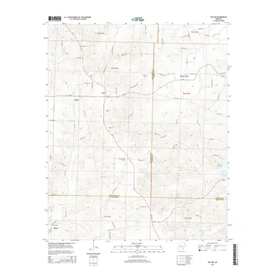 2014 Willow2014 Print · USGSHot Spring and Grant Counties are mapped here in the early twenty-first century, showcasing a landscape of timbered hills and rural crossroads. Local historians can trace family roots at Gray Cem or Lono Cem and locate old settlements like Rolla and Willow.
Showing maps 1-25 of 54
Top cities of Grant County
- Sheridan historical maps
- Tull historical maps
- Leola historical maps
- Prattsville historical maps
- Poyen historical maps
Frequently asked questions
- What are the different types of historical maps available for Grant County?
- What is the oldest map of Grant County?
- Where can I purchase historical maps of Grant County for my home or office?
- Where can I download high-res historical maps of Grant County?
- Are there historical topographic maps available for Grant County?
- Is there historical aerial imagery available for Grant County?
- Where are historical maps of Grant County sourced from?