2020s Maps of Oak Grove Heights, Arkansas
Explore 8 historic maps of Oak Grove Heights from the 2020s. These maps offer a rare glimpse into what life looked like during the 2020s — showing old roads, neighborhoods, homes, and landmarks that have changed or disappeared over time.
Whether you're researching your family's past, planning a metal detecting trip, or studying how Oak Grove Heights's landscape evolved across the 2020s, these high-resolution maps are a powerful tool for exploring the history of this region.
- Focus on a specific era: All maps on this page are from the 2020s, giving you a focused view of this time period.
- See what’s changed: Compare century-old streets, trails, and buildings to today's modern landscape using overlays and satellite layers.
- Research with precision: Use these maps for genealogy, historical research, land use analysis, or educational projects.
- View, download, or print: Maps are fully viewable online in high resolution, and can be downloaded or printed for your own records.
Start exploring Oak Grove Heights's history through authentic maps from the 2020s. This is your window into the past.
Oak Grove Heights, AR maps
(8)- 2020 Map of Paragould East, 2020 Print
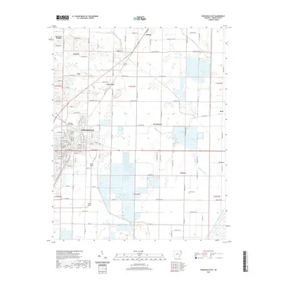 2020 Paragould East2020 Print · USGSCovers Oak Grove Heights, including Paragould, Cotton Belt, and other nearby areas
 - 2020 Map of Paragould West, 2020 Print
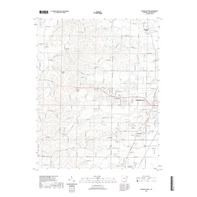 2020 Paragould West2020 Print · USGSCovers Oak Grove Heights, including Paragould, Pine Knot, and other nearby areas
 - 2020 Map of Marmaduke, 2020 Print
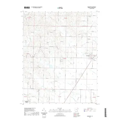 2020 Marmaduke2020 Print · USGSCovers Oak Grove Heights, including Marmaduke, Lafe, and other nearby areas
 - 2020 Map of Lafe, 2020 Print
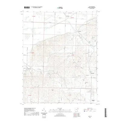 2020 Lafe2020 Print · USGSCovers Oak Grove Heights, including Lafe, Beech Grove, and other nearby areas
 - 2024 Map of Lafe, 2024 Print
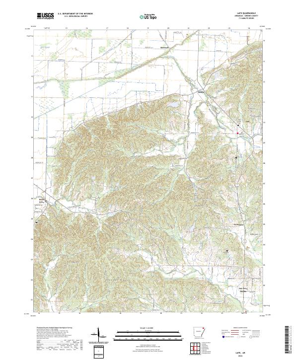 2024 Lafe2024 Print · USGSGreene County is defined by the unique rise of Crowleys Ridge and its surrounding agricultural lowlands in this recent survey. Local historians can trace established community centers like Lafe and Gainesville alongside family landmarks such as Saint Johns Cem.
 - 2024 Map of Marmaduke, 2024 Print
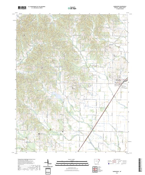 2024 Marmaduke2024 Print · USGSGreene County is shown here in the 2020s, dominated by the distinct rise of Crowleys Ridge and the BNSF Railway corridor. Researchers can locate many small burial grounds and churches such as Hartsoe Cem, Old Liberty Cem, and Harvey's Chapel Cem.
 - 2024 Map of Paragould West, 2024 Print
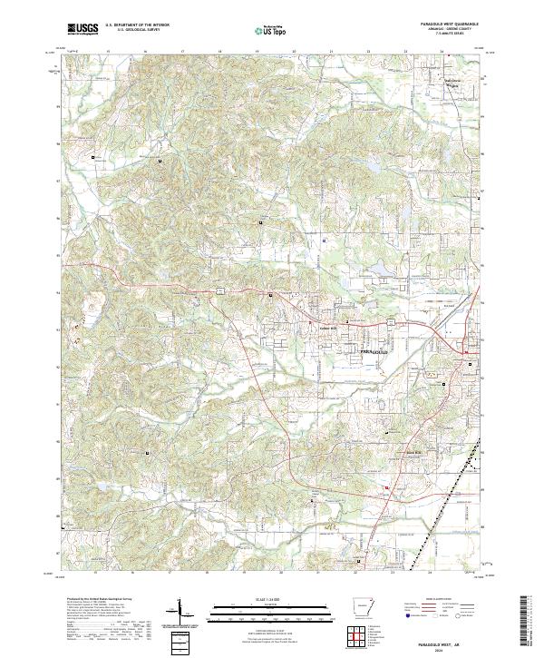 2024 Paragould West2024 Print · USGSGreene County is shown here in its modern context as the city of Paragould expands westward along the slopes of the ridge. Genealogists and researchers can locate numerous historic burial sites like Shiloh Cem and Browns Chapel Cem, alongside the campus of Crowley's Ridge College.
 - 2024 Map of Paragould East, 2024 Print
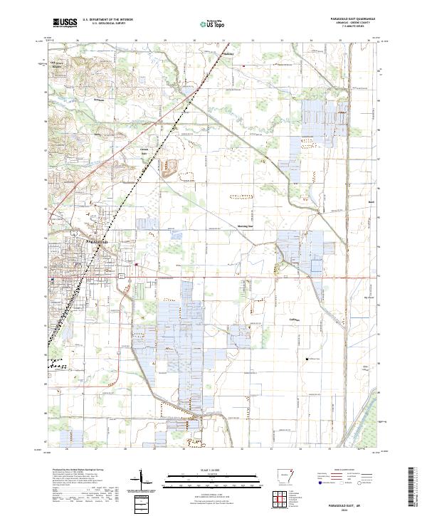 2024 Paragould East2024 Print · USGSIn the Arkansas Delta today, the area around Paragould maintains its deep-rooted agricultural character through a complex network of drainage ditches and rural junctions. Researchers can trace family history at Coffman Cem and locate vanished landmarks near Morning Star or the Greene County Courthouse.
End of results
Showing maps 1-8 of 8
Top cities near Oak Grove Heights
- Paragould historical maps
- Leachville historical maps
- Rector historical maps
- Brookland historical maps
- Monette historical maps
- Marmaduke historical maps
See more
Frequently asked questions
- What are the different types of historical maps available for Oak Grove Heights?
- What is the oldest map of Oak Grove Heights?
- Where can I purchase historical maps of Oak Grove Heights for my home or office?
- Where can I download high-res historical maps of Oak Grove Heights?
- Are there historical topographic maps available for Oak Grove Heights?
- Is there historical aerial imagery available for Oak Grove Heights?
- Where are historical maps of Oak Grove Heights sourced from?