2024 Map of Marmaduke
USGS Topo · Published 2024About this map
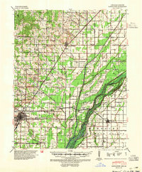
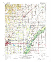
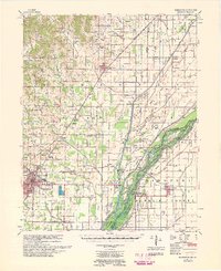
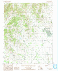
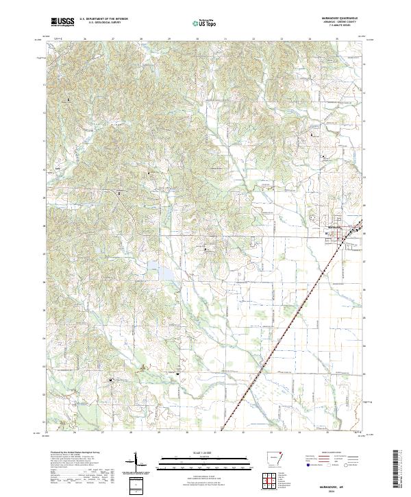
Crowleys Ridge defines the topography of this Greene County landscape, where the elevated terrain drops off into the drainage basins of Hurricane Creek and Slavens Creek. The city of Marmaduke sits at the junction of the BNSF Railway and local transit corridors, serving as a hub for the surrounding agricultural tracts. Small family and community landmarks are scattered across the quadrangle, notably the many rural burial grounds like Old Liberty Cem and Toelken Cem. The road network, including the Marmaduke-Ramers Chapel Rd and Hamilton Rd, follows a rigid section-line grid that reveals the enduring influence of the Public Land Survey System on Arkansas settlement patterns. Smaller communities like Lafe maintain their presence along these routes, illustrating the persistent rural character of the region as numerous creeks like Pigeon Roost Creek and Culver Creek wind through the lowland bottoms.
Find a feature on this map
101 named features on this map. Tap any name to fly to it.
Don’t see what you’re looking for? This feature index may not catch every label — zoom into the map to look around manually.
Map Details
Editions of this 2024 Marmaduke Map
This is the sole edition of this map. No revisions or reprints were ever made.
Historical Maps of Oak Grove Heights Through Time
5 maps found