Old Maps of Swifton, Arkansas for Genealogy
Trace your family roots with 16 historic maps of Swifton. These high-res maps reveal old neighborhoods, homesites, landmarks, and streets — helping you uncover where your ancestors lived and how the area evolved over time.
- Explore historic neighborhoods: Identify where your relatives may have lived in the 1800s or 1900s.
- Compare maps over time: Trace the changes in streets, buildings, and landmarks for multi-generational research.
- Perfect for genealogy & ancestry research: Used by family historians and researchers to map out lineage and migration.
These maps are an incredible resource for exploring your personal connection to Swifton's past.
Swifton, AR maps
(16)- 1935 Map of Alicia, 1936 Print
 1935 Alicia1936 Print · USGSThe Black River bottomlands of the 1930s are captured here during a period of transition from river landings to rail and highway transit. Researchers can locate numerous family-named landmarks and vanished schools such as Clover Bend Sch, Vandy Cem, and the Old Martin Mill Place.3 unique versions available
 - 1953 Map of Memphis, 1966 Print
 1953 Memphis1966 Print · USGSEastern Arkansas and the Memphis riverfront are shown here during the mid-century period of regional growth and river management. Local historians can trace the paths of the Chicago Rock Island & Pacific RR through Forrest City or locate river landmarks like President's Island.3 unique versions available
 - 1956 Map of Memphis
 1956 Memphis1956 Print · USGSThe Mississippi Delta and the bluffs of West Tennessee meet in the mid-fifties, showing a landscape defined by massive river systems and rail hubs. Researchers can trace the path of Crowleys Ridge or locate vanished river landings near Centennial Island and Island No 35.
 - 1980 Map of Swifton East
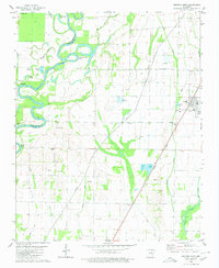
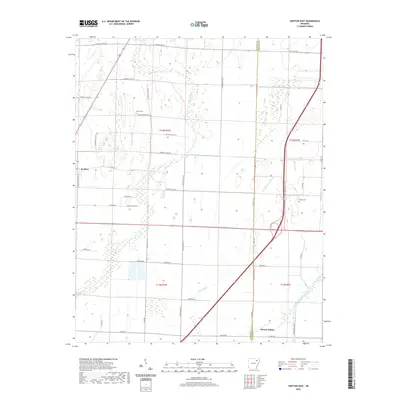
 1980 Swifton East1980 Print · USGSJackson and Craighead Counties are shown here during a period of steady delta farming and rural growth. Genealogists and local historians can locate early landmarks like Arnold Cem, Morrow Chapel, and the Missouri Pacific railroad line.
 - 1980 Map of Swifton West
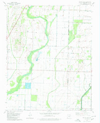
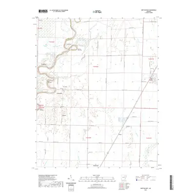
 1980 Swifton West1980 Print · USGSThe Black River bottoms in Jackson and Independence counties are captured here in the early eighties. Genealogists can locate family burial grounds like Harrison Cem and Bandy Cem or trace the Missouri Pacific rail line through Swifton.
 - 1986 Map of Batesville
 1986 Batesville1986 Print · USGSNorth-central Arkansas in the mid-eighties shows a landscape of river-bend towns and Ozark foothills during a period of steady growth. You can trace family roots through numerous upland sites like Hickory Valley School, Sandtown Hill Cem, and the riverfront at Oil Trough.2 unique versions available
 - 2011 Map of Swifton East, 2011 Print
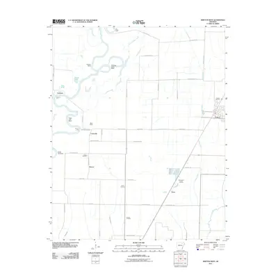
 2011 Swifton East2011 Print · USGSCovers Swifton, including Denton Island, Craighead County, and other nearby areas
 - 2011 Map of Swifton West, 2011 Print
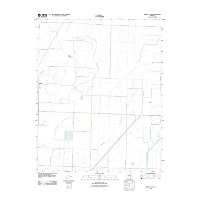
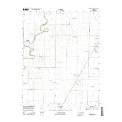
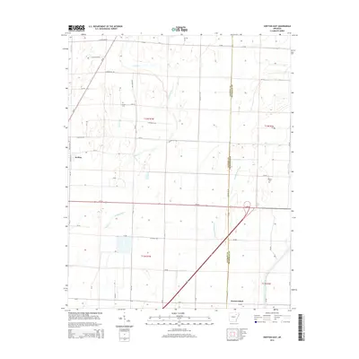
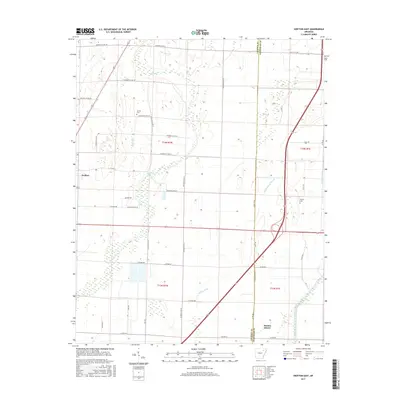
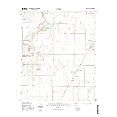
 2011 Swifton West2011 Print · USGSCovers Swifton, including Tuckerman, Kenyon, and other nearby areas
 - 2014 Map of Swifton West, 2014 Print
 2014 Swifton West2014 Print · USGSCovers Swifton, including Tuckerman, Kenyon, and other nearby areas
 - 2014 Map of Swifton East, 2014 Print
 2014 Swifton East2014 Print · USGSCovers Swifton, including Denton Island, Craighead County, and other nearby areas
 - 2017 Map of Swifton East, 2017 Print
 2017 Swifton East2017 Print · USGSCovers Swifton, including Denton Island, Craighead County, and other nearby areas
 - 2017 Map of Swifton West, 2017 Print
 2017 Swifton West2017 Print · USGSCovers Swifton, including Tuckerman, Kenyon, and other nearby areas
 - 2020 Map of Swifton West, 2020 Print
 2020 Swifton West2020 Print · USGSCovers Swifton, including Tuckerman, Kenyon, and other nearby areas
 - 2020 Map of Swifton East, 2020 Print
 2020 Swifton East2020 Print · USGSCovers Swifton, including Denton Island, Craighead County, and other nearby areas
 - 2024 Map of Swifton East, 2024 Print
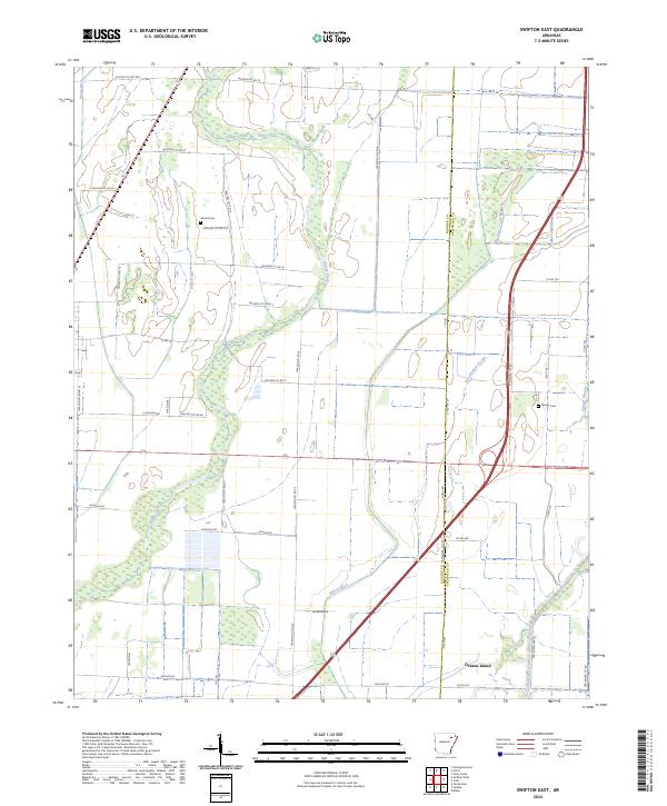 2024 Swifton East2024 Print · USGSJackson County and the Arkansas Delta are documented here in the early 2020s, showing a landscape defined by industrial agriculture and complex water management. Genealogists and local historians can locate Arnold Cem, Worley Cem, and the riverine land of Denton Island.
 - 2024 Map of Swifton West, 2024 Print
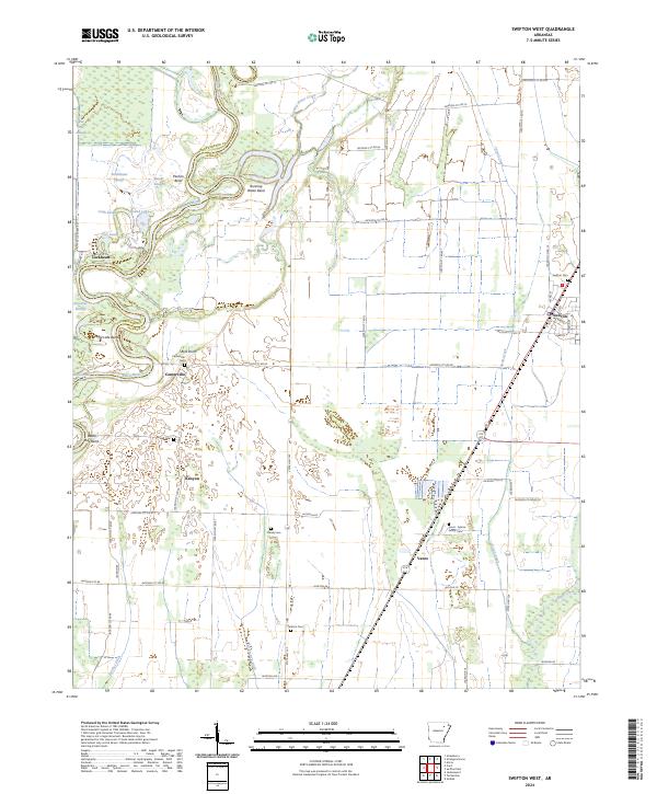 2024 Swifton West2024 Print · USGSJackson County’s alluvial plains are documented here in the early twenty-first century, showing a landscape shaped by the Black River. Researchers can locate several rural burial sites like Harrison Cem and trace old settlements from Centerville to Kenyon.
End of results
Showing maps 1-16 of 16
Top cities near Swifton
- Newport historical maps
- Walnut Ridge historical maps
- Hoxie historical maps
- Tuckerman historical maps
- Diaz historical maps
- Weiner historical maps
See more
Frequently asked questions
- What are the different types of historical maps available for Swifton?
- What is the oldest map of Swifton?
- Where can I purchase historical maps of Swifton for my home or office?
- Where can I download high-res historical maps of Swifton?
- Are there historical topographic maps available for Swifton?
- Is there historical aerial imagery available for Swifton?
- Where are historical maps of Swifton sourced from?